
Google Earth has incorporated the Timelapse function, a tool with which it is possible to observe the transformation of the Earth between 1984 and 2020. By accessing the Timelapse function (an accelerated sequence) that the Google program has just presented, the user can see how the has been building a huge solar farm in China or the spectacular growth of Dubai over the last few decades.
It is the largest update of Google's virtual globe since 2017. With it, it shows how the Earth has changed in the last 37 years by analyzing and processing 24 million photos taken by satellites.
So if before it was a great tool to explore the world with one click, now it can be contemplated by adding the dimension of time.
MORE INFORMATION
Nine places in the world (and one outside of it) that you fall in love with on Street View
Video games to explore worlds
The project has the collaboration of NASA, the Landsat program of the United States Geological Survey (the world's first civil program for Earth observation) and the Copernicus program of the European Union (with its Sentinel satellites).
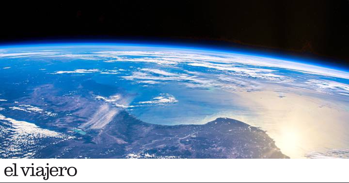
Over the past 15 years, billions of people have used Google Earth to fly over Everest in 3D from home. A page that many dedicated more time to during the months of confinement as a way to travel from home. Now they add the time dimension (a whole trip from the past to the present), something that highlights the environmental change suffered by the planet due to human activity. But also "fascinating and beautiful natural phenomena that have taken place for decades", according to the company.
In total, it took more than two million hours of processing on thousands of machines on Google Cloud to
weave
20 petabytes of satellite imagery into a single 4.4 therapy pixel video mosaic (the equivalent of 530,000 videos in 4K resolution). "It is the largest video on the planet ever created," said Google Earth director Rebecca Moore at the Timelapse presentation on Wednesday.
The new tool has designed five
guided
tours
in collaboration with the CREATE Lab, Carnegie Mellon University of Pittsburgh (USA):
forest changes, urban growth
,
global warming
,
energy sources
and
the
fragile beauty of our world
. The retreat of the Columbia Glacier, in the State of Alaska, appears as an example of the effects of global warming. The expansion of Las Vegas, the fastest-growing city in the United States, is seen as an exponent of urban development, while nearby Lake Mead, on the Colorado River, contracts. And the meandering Mamoré River, in Bolivia, represents very well the beauty, fragile, of our planet.
The Timelapse function has more than 800 videos in 2D and 3D for public use, which can be consulted in the download section of Google Earth. They show the evolution of human constructions seen from space, such as the Øresund bridge that connects Copenhagen, in Denmark, with Malmö, in Sweden: the works began in 1995, and ended in 1999. Or the successive extensions of Haneda International Airport, in Tokyo. And there are many other videos from Spain, which reflect the transformations in Salou (Tarragona), the Mar Menor (Murcia Region), Benidorm (Valencian Community) or the Balearic island of Ibiza. A new feature that has just started: Google Earth will be updated every year with new Timelapse images.
Find inspiration for your next trips on our Facebook and Twitter and Instragram or subscribe here to the El Viajero Newsletter.