
the weather
Written by: Golden Chess
2021-04-20 13:00
Last update date: 2021-04-20 13:00
In the spring, the weather is unpredictable. After days of cloudy and rainy weather, Hong Kong finally sees sunshine again.
Today (20th) is the "guyu" in the 24 solar terms. In many districts, the temperature is only 20 degrees Celsius in the morning, and it is even lower at 12.7 degrees Celsius in Ta Mo Shan.
According to the Observatory, the easterly air currents affecting the coast of Guangdong will gradually ease, and the area will generally be sunny and hot in the next few days.
It is expected that the temperature in the urban area will be 30 degrees higher on Friday (23rd), and it will be as high as 33 degrees in Sheung Shui and Ta Kwu Ling, reaching extreme heat.
In addition, the tropical cyclone Shuriji will traverse the waters east of the Philippines today and tomorrow (21st), then turn to the northeast and move across the waters south of the Ryukyu Islands.
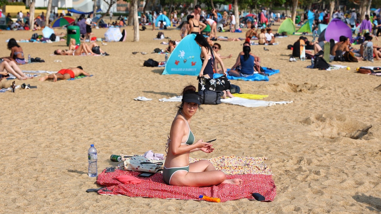
▼4.6 Citizens sunbathe in Repulse Bay on the last day of Easter Holiday▼
+5
+5
+5
The weather improved slightly today. The Observatory pointed out that a fresh easterly air current is affecting the coast of Guangdong, and the cloud belt currently covering the southeastern coast of China will gradually become thinner.
Today is the "Rain in the Valley" in the 24 solar terms. It is the last solar term in spring, representing warmer weather and increased rainfall.
However, this morning, the lowest temperature in many districts such as Tsuen Wan and Kowloon City was about 20 degrees, while the lowest temperature in Tai Mo Shan was 12.7 degrees.
The Observatory predicts that there will be sunshine for part of the afternoon this afternoon, and it will be mainly cloudy tonight; the wind will moderate to a fresh easterly wind.
Looking forward to the next few days, the weather will be generally fine and hot during the day. The temperature will slightly rise to between 22 and 28 degrees tomorrow (21st).
It is expected to be sunny on Friday and hot during the day; the temperature is even hotter, ranging from 23 to 30 degrees, with 33 degrees even higher in Sheung Shui and Ta Kwu Ling.
However, we will say goodbye to the sunshine next week. The Observatory expects a trough of low pressure to bring thunderstorms to South China early next week. Next Monday (26th) will be mostly cloudy with a few showers, and there will be thunderstorms in some areas at first, and the temperature will drop slightly. To range from 22 to 25 degrees.
▼In August 2020, ``Hygoss'' hits the port in 22 hours and rises from No. 1 to No. 9 typhoon ▼
+11
+11
+11
Shuliji's closest "close" to Hong Kong on Thursday is about 1,000 kilometers away
In addition, the Observatory said that at 12:00 noon today, the super typhoon "Shuliky" gathered about 560 kilometers east-northeast of Manila, and is expected to move northwest at a speed of about 10 kilometers per hour, crossing the waters east of the Philippines.
The Observatory expects "Shu Liji" to be the closest to Hong Kong on Thursday (22nd), but it is still about 1,000 kilometers away. After that, the "L-shaped" turned northeastward and weakened to a severe tropical storm next Sunday (25th).
The Central Meteorological Observatory in the Mainland predicts that "Shu Liji" will move north-westward at a speed of 10 to 15 kilometers per hour, and its strength will slowly weaken. On Thursday, it will turn to the northeast and move away, and its strength will continue to weaken.
Affected by the cold southerly air and "Shu Liji", the wind will gradually increase in the easterly waters of the Taiwan Strait, the east of Taiwan, the Bashi Strait, and the northeastern part of the South China Sea from today to Thursday.
Super Typhoon Shuliji may become the strongest in the Pacific Northwest. The April Wind Observatory may enter the South China Sea with a 20% chance
Six years apart or reappearance of the reason why the Super Typhoon Observatory dismantled Typhoon Shuliji in April
A tropical cyclone is expected to form east of the Philippines next week. Will the Observatory’s interpretation draw usher in the "April Wind"
Probability of significant rainfall at the Observatory is "medium-low" for the first time, expecting rain on three days to see sunshine again early next week
01News
Hong Kong Observatory Weather Forecast Typhoon