
Be careful in a large south-eastern quarter of the country.
18 departments were placed in orange vigilance "storms" or "wind" from Sunday 2 pm and until Monday morning, in New Aquitaine, Occitanie and Auvergne-Rhônes-Alpes, because of "a high risk violent phenomena, ”Météo France announced in its latest bulletin.
The orange "storms" alert concerns the neo-Aquitaine departments of Charente, Charente-Maritime, Dordogne, Gironde, Landes, Lot-et-Garonne, Pyrénées-Atlantiques, Corrèze, Vienne, Deux-Sèvres, and Haute-Vienne, as well as those of Gers, Lot, Tarn-Garonne, Haute-Garonne and Hautes-Pyrénées in the Occitanie region.
The orange vigilance "violent winds" has been activated for the departments of Loire and Haute-Loire, in the Auvergne-Rhône-Alpes region.
🔶 18 deposits in #vigilanceOrange
Stay informed on https://t.co/rJ24zzmmy4 pic.twitter.com/MgGkXDaSqI
- VigiMeteoFrance (@VigiMeteoFrance) May 9, 2021
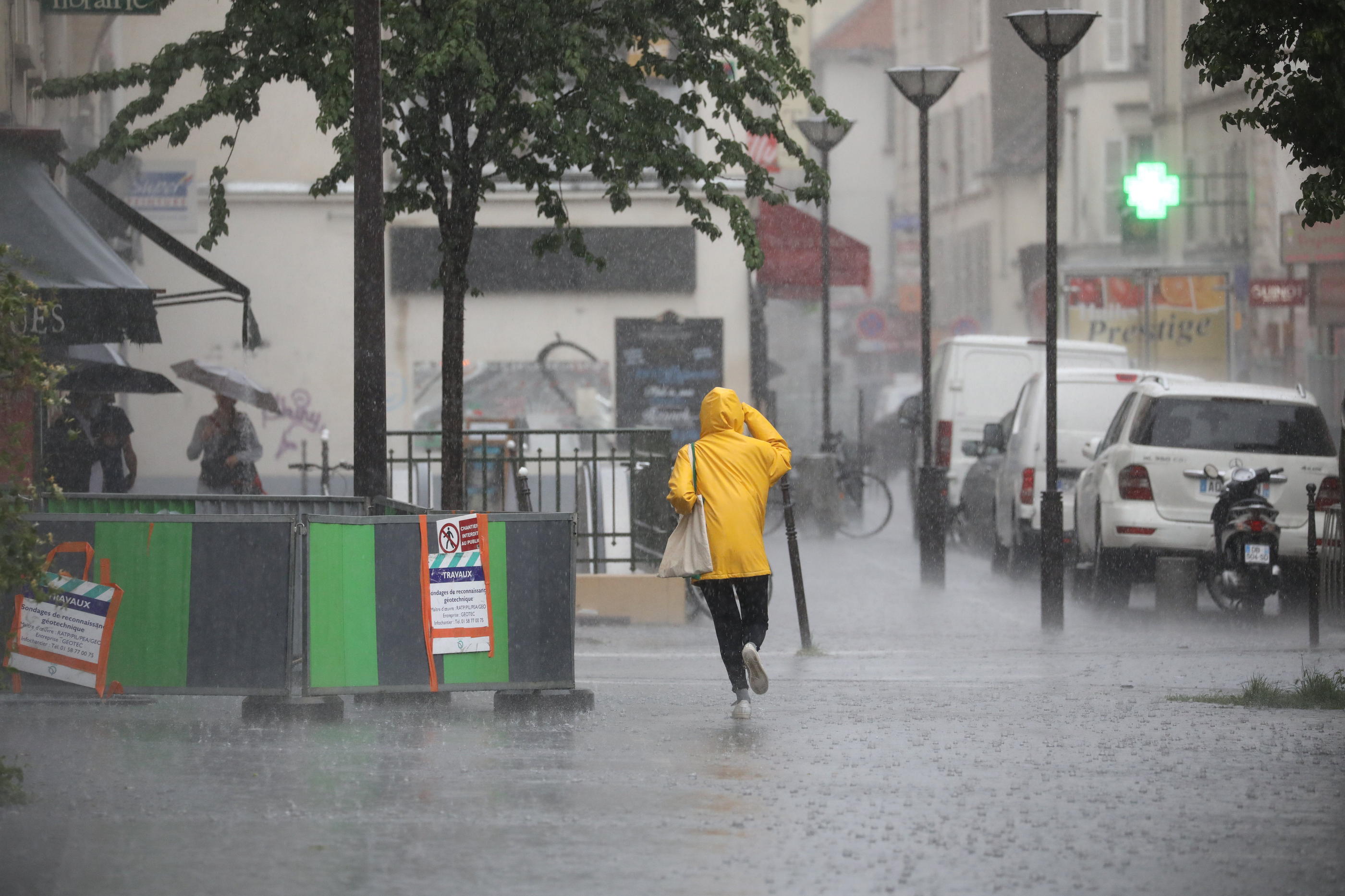
Météo France mentions in particular a "rain-storm event requiring particular vigilance insofar as there is a high risk of violent phenomena".
"Clear degradation" expected at the end of the afternoon
According to the forecaster, thunderstorms will develop in the early afternoon, over the southwest of New Aquitaine, the Gers and the Hautes-Pyrénées before progressing north and east, especially towards the Tarn-et-Garonne and Lot, Limousin.
They will affect the rest of the Midi-Pyrénées region and even Poitou in the evening.
Read also Heat waves, floods, cyclones ... you will have to get used to extreme weather
A "clear deterioration" of the situation is expected at the end of the afternoon with "strong thunderstorms" which will progress rapidly towards the east of Aquitaine, Charente, Gers, and Hautes-Pyrénées.
These storms will be accompanied by hailstorms, locally strong accumulations of rain that can reach 15/30 mm / h and violent gusts of wind that can reach 80 to 100 km / h or even 100/120 km / h locally.
In the Pyrenees, we could reach values of the order of 100 to 130 km / h on the ridges.
In the Auvergne-Rhône-Alpes region, the gusts will strengthen in the afternoon to exceed 100km / h on the Haute-Loire plateaus and in the south of the Loire department.