
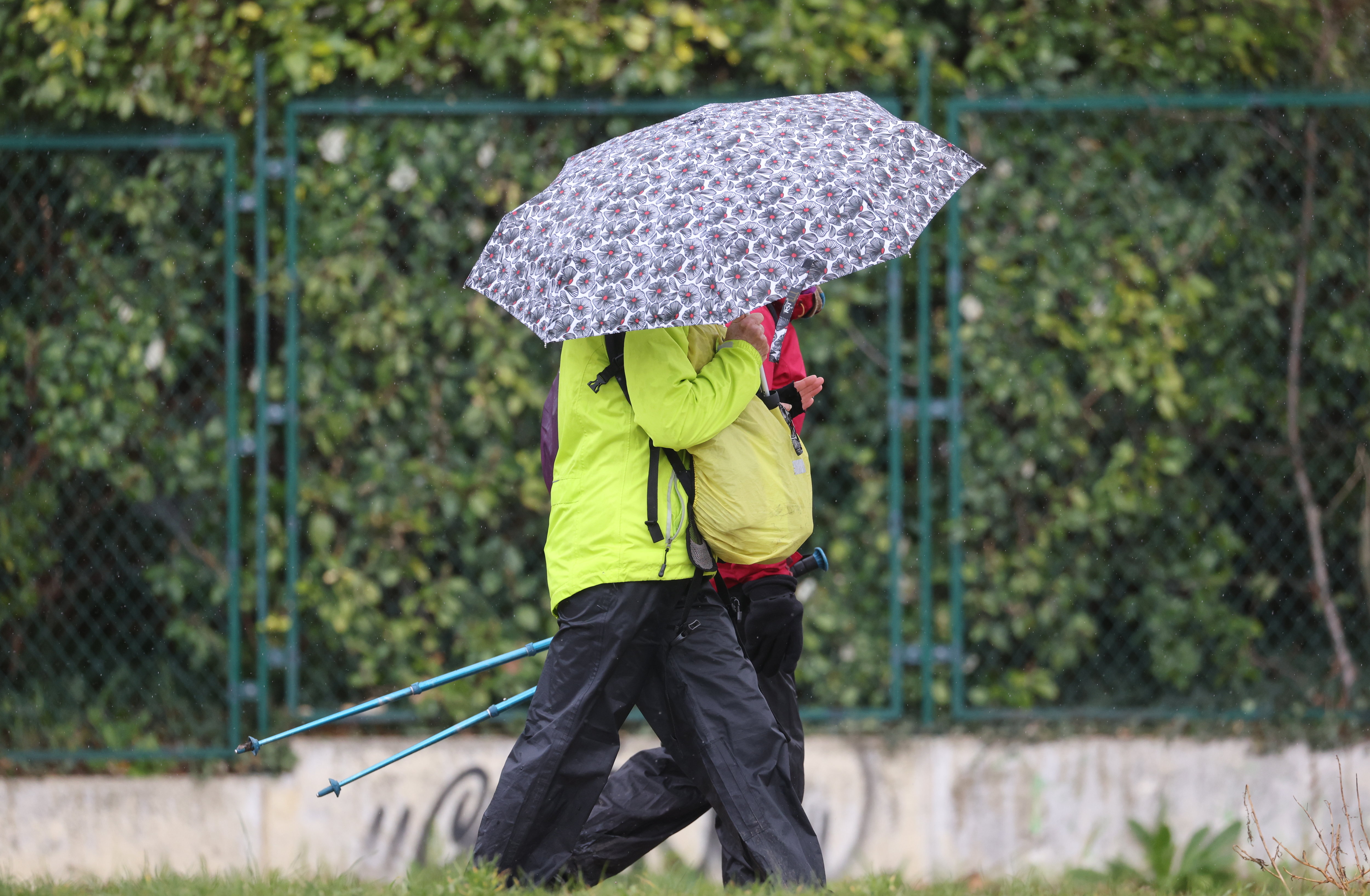
The reopening of the terraces on May 19 will take place in the rain.
This is confirmed by Guillaume Séchet, head of the specialized site meteo-villes.com, which has been particularly popular in recent days.
Read alsoWeather forecast: get ready to spend May ... in the rain
Thunderstorms, wind, cold, rare clearings… why is the weather so bad?
GUILLAUME SÉCHET.
Because the Azores high pressure is too far south.
He returned to his nest and the fresh, humid and oceanic air took over the whole of France.
The contrast with last weekend is also striking.
On Saturday, it was 33 ° C in the Basque Country and 30 ° C on Sunday in Strasbourg.
And then in 24 hours, we lost more than 10 ° C on average.
A real cold shower.
Currently, temperatures are generally 3-4 ° C below normal.
Have we broken rain records?
The accumulations of rain were very impressive between the Cévennes and Lyonnais, rather worthy of the Mediterranean episodes that we experience in autumn or winter.
It was in Barnas, in Ardèche, that it rained the most with 273 mm of water in just thirty hours.
But it was in Lyon that a record was broken because on May 10 it fell 105.9 mm of water in 24 hours.
It had never rained so much in one day in this city, all months combined.
The conflict between the warm air of the weekend and the cooler weather of last Monday even led to the observation of a tornado north of Ramatuelle (Var) on the afternoon of May 11.
"The latest forecasts seem to show that the improvement seen at the end of May is shrinking day by day", estimates Guillaume Seche, author of the book "Météo extrem" (Ed. Hugo Image), DR
The terraces reopen on May 19. Please tell us the weather is going to be nice ...
You would have asked me on Tuesday, I would have told you that the last ten days of May were going to be rather better. But the latest forecasts seem to show that the improvement seen in late May is shrinking day by day. There may be small windows of good weather for a few hours, but in fact there will be few days when there will be no rain. I know that everyone is expecting an upturn for the opening of the terraces: moreover, I noticed a lot more traffic on my website because people click to find out if the good weather will return. But sadly, there won't be any lasting improvement between now and Pentecost weekend. After an already very cool month of April, this month of May will ultimately be undoubtedly colder than average.Except perhaps near the Mediterranean which is more protected from rainy waves by the Pyrenees, the Massif Central and the Alps.
And the sun then, when is it?
Longer term forecasts show that the trend could be reversed but you know weather is kind of like politics: when momentum sets in… (laughs).
That said, the US and European seasonal forecast models expect June to be more pleasant than May, but it is especially July which should be warmer and drier than normal.