the weather
Written by: Zhang Jiamin
2021-06-12 13:38
Last update date: 2021-06-12 13:52
As of 12:30 noon today (12th), the alert signal No. 1 is still in effect. The Observatory pointed out that the tropical depression continues to be far away from Hong Kong, and the wind in Hong Kong has gradually weakened in the past few hours.
The Observatory will cancel all tropical cyclone warning signals in the short term.
However, it will remain mainly cloudy today and tomorrow, with occasional showers and squally thunderstorms.
As the high-altitude anticyclone gradually intensifies in the early to middle of next week, there will be sunshine from next Tuesday.
Sunday was still mostly cloudy with occasional showers and squally thunderstorms.
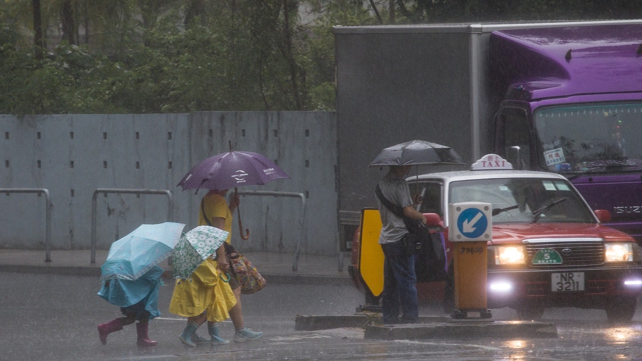
(Profile picture / Photo by Liang Pengwei)
According to the Observatory, at 12 noon, the tropical depression on Hainan Island gathered about 640 kilometers southwest of Hong Kong. It is expected to move west or west-northwest at a speed of about 18 kilometers per hour towards Beibu Gulf.
Due to the tropical depression, it continues to be far away from Hong Kong.
It is expected that the wind will gradually weaken.
When the tropical depression no longer poses a threat to Hong Kong, the Observatory will cancel all tropical cyclone warning signals.
The Observatory said that the tropical depression continues to be far away from Hong Kong.
(Screenshot of the Observatory website)
In the past hour at 11:45 in the morning, the Observatory recorded 0 to 9 mm of rainfall in the North District, and 0 to 4 mm of rainfall in the Central and Western District and Tai Po.
According to the Observatory, Hong Kong is generally cloudy in the afternoon and evening, with occasional squally winds and showers, as well as thunderstorms.
The east-southeast winds are fresh, and strong winds blow occasionally in offshore waters and highlands at first, and there are swells on the sea surface.
There will still be some showers tomorrow, and there will be a few squally thunderstorms; and next Monday, the Dragon Boat Festival holiday, there will also be a few showers.
As the high-altitude anticyclone gradually intensifies in the early to middle of next week, the Observatory predicts that the weather will not improve until next Tuesday (15th) and there will be sunshine for a short period of time during the day; and next Friday will be very hot during the day with the highest temperature as high as 33 degrees Celsius.
On Father’s Day, June 20, there will be sunshine during part of the time and some showers in some areas.
Observatory's nine-day weather forecast.
(Screenshot of the Observatory website)
▼European Center for Medium-Term Weather Forecast (ECMWF) Forecast Path▼
▼Global Forecast System GFS Forecast Path▼
Weather and traffic | No. 1 thunderstorm warning is still in effect this morning, there will be squally showers on weekends
The Observatory expects low-pressure areas to develop in the central South China Sea over the weekend to welcome unstable weather and thunderstorms during the Dragon Boat Festival
01News
Hong Kong Observatory Weather Forecast Typhoon