
Patrols of indigenous populations equipped with smartphones and satellite data have greatly reduced illegal deforestation in the Amazon rainforest in Peru, according to the results of an experiment published on Monday.
Read also: Brazil: 94% of deforestation in the Amazon is illegal
The study, which appeared in the journal "Proceedings of the national academy of sciences" (PNAS), shows that the recognition of the rights of indigenous populations on their territory can constitute a powerful force against the climate crisis, according to its authors.
The randomized controlled trial experiment evaluated the impact of indigenous patrols in forests on reducing deforestation when these patrols were equipped with satellite warning equipment.
The results show a 52% drop in deforestation in 2018 and 21% in 2019, in the villages that were attributed to material luck and training, compared to those not equipped.
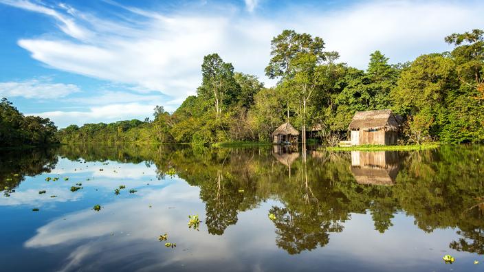
Study on 36 villages
The reductions were particularly significant for villages directly facing threats of illegal gold mining, illegal logging, and planting of prohibited crops such as the coca plant, used in the manufacture of cocaine. The study was carried out by researchers at New York University and Johns Hopkins University, in collaboration with the Rainforest Foundation US (RFUS) and the Organization of Indigenous Peoples of the Eastern Amazon (ORPIO). Conducted in 36 indigenous Shipibo villages of Patria Nueva and Nueva Saposoa in the Peruvian Amazon, the study was supported by photos provided by Peru and its SAT-1 satellite, launched in 2016 and which flies over the country 14 times daily. .
Thirty-seven other villages were assigned as control in the study, with no change in their forest management practices. Once a month, couriers sailed the Amazon and its tributaries to deliver USB keys containing satellite photos and GPS information to isolated villages. Those designated for surveillance uploaded this information to specialized smartphone apps that they used to guide patrols to sites of potential deforestation. In cases where they found such sites, the evidence was presented to an assembly of community members. It is then up to them to decide what action to take, either to push the perpetrators out of the village lands by their own means, or to call on the forces of theorder in some cases, such as when drug traffickers were involved.
“The essential goal is to put information on deforestation in the hands of those most affected by its consequences, and who can act against it,”
said Tom Bewick, Peru zone director for RFUS. During the two years that the study lasted, nearly 456 hectares of tropical forest were saved, allowing to avoid releasing more than 234,000 tons of CO2 emissions.
“The results represent a strong argument for increasing investments and replicating the model,”
says Tom Bewick, adding:
“It would be good for the future, not just for Peru but for our planet”.