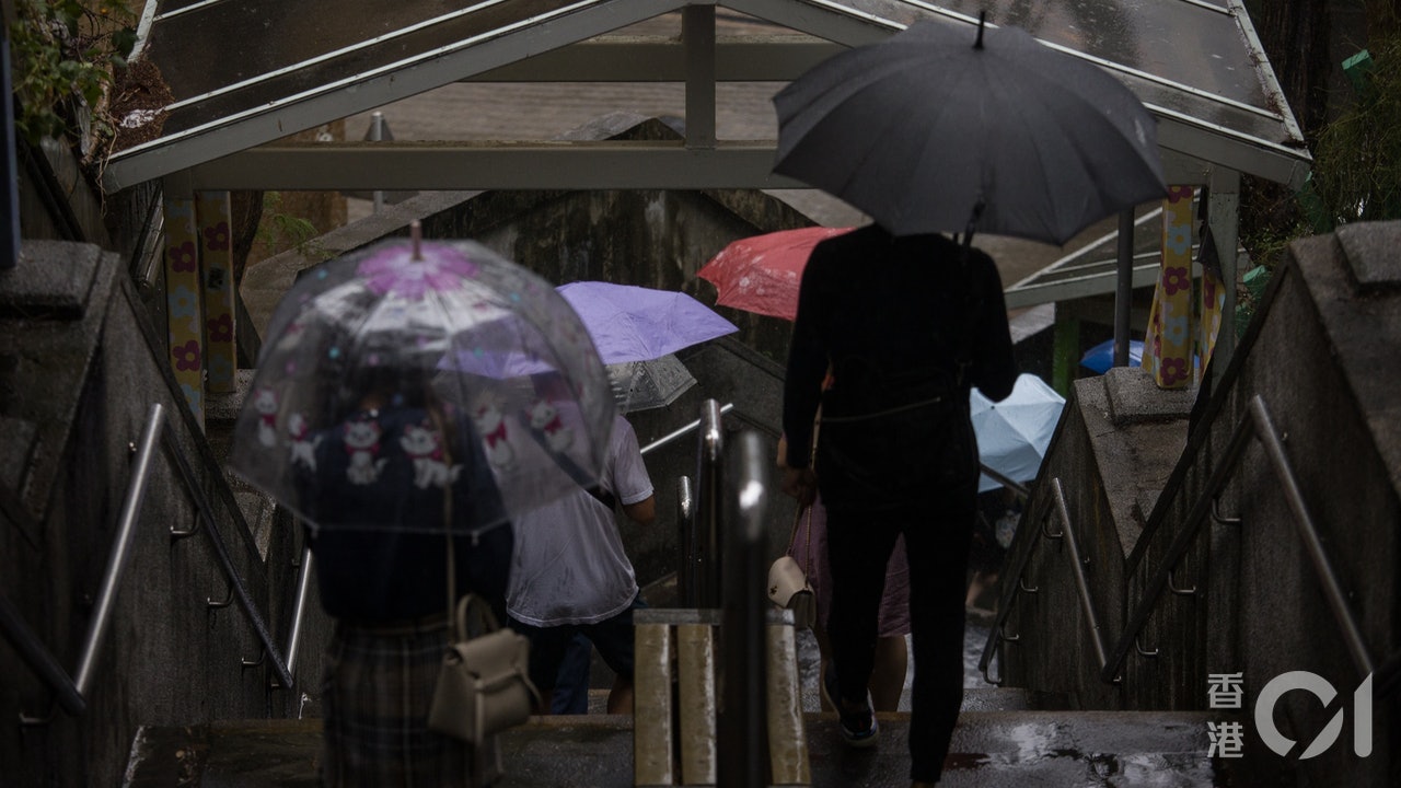
A week later, the weather in Hong Kong ushered in a heavy thunderstorm.
At about 10 o'clock this morning (17th), the Observatory issued a special weather alert, saying that the continued development of thunderstorm zones in the waters east of Hong Kong may affect Hong Kong.
At noon, the rain belt gradually expanded from Sai Kung to Tseung Kwan O and Ma On Shan.
When you go out on the street, remember to bring an umbrella to avoid becoming a "soup chicken".
Unsteady weather is expected to continue for a period of time. The 9-day weather forecast data of the Observatory shows that there will be showers from tomorrow (18th) to July 26th. On Sundays and Mondays, there will be heavy rains and squally thunderstorms.
There will be a short period of sunshine in the "Great Heat" next Thursday (22nd).
In addition, a tropical depression is moving from near the Philippines to the waters east of Taiwan.
The Observatory is expected to gradually escalate into a tropical cyclone. After crossing Taiwan, it will escalate to a typhoon. It is expected to pounce on Wenzhou, Fujian next Thursday (22nd), becoming the first tropical cyclone to strike China this year.
+1
The vast area of low pressure in the northern part of the South China Sea is bringing showers and thunderstorms to the coast of Guangdong. The Observatory issued a special weather warning at 10 o'clock this morning, stating that there will continue to be thunderstorm areas in the sea east of Hong Kong, and it may be in the next two or three hours (i.e. At noon) affect Hong Kong, remind the public to pay attention to changes in the weather.
In the past two hours, it started to rain in Sai Kung, and the rain area gradually expanded to Tseung Kwan O and Ma On Shan, and directly forced Sha Tin.
The Observatory predicts that today Hong Kong is generally cloudy with occasional showers and thunderstorms in some areas.
The easterly wind is gentle, the temperature ranges from 27 to 31 degrees, and the humidity is 81%.
+1
(Screenshot of the Observatory's website)
The tropical depression is expected to "rise up" the typhoon heads towards Wenzhou, Fujian
In addition, at noon, the tropical depression in the Pacific Northwest, east of the Philippines, gathers about 1,360 kilometers east-southeast of Taipei. It is expected to move northwest at a speed of 15 kilometers per hour, roughly toward the sea east of Taiwan, and gradually increase. .
The tropical depression is believed to intensify into a tropical storm. It is expected to cross northern Taiwan next Wednesday (21st) and pounce on Wenzhou, Fujian by Thursday (22nd), becoming the first tropical cyclone to strike China this year.
(Screenshot of the Observatory)
There will be rain for the next nine days, and there will be short-term sunshine from Thursday
The Observatory predicts that the weather will continue to be unstable in the next two or three days, with showers and thunderstorms.
Next Sunday and Monday (18th, 19th) will be cloudy with showers and squally thunderstorms. The rain is sometimes quite heavy. It is expected that there will be short-term sunshine until next Thursday (22nd), but there will still be a few showers. , There will also be thunderstorms in some areas.
▼7.13 Very Hot Weather▼
+3
The expansive low pressure area is expected to reach the Observatory. It is expected that it will be enough for the 9th. Rain, Sunday and Monday, squally thunderstorm weather, traffic | 7 consecutive days of rain, local areas, thunderstorms, weekend book fairs, special traffic arrangements, and heat warning lasting for nearly 200 hours. 9 full days of rain and traffic | Intensified low air pressure brings showers and thunderstorm warnings are now in effect
01News


