
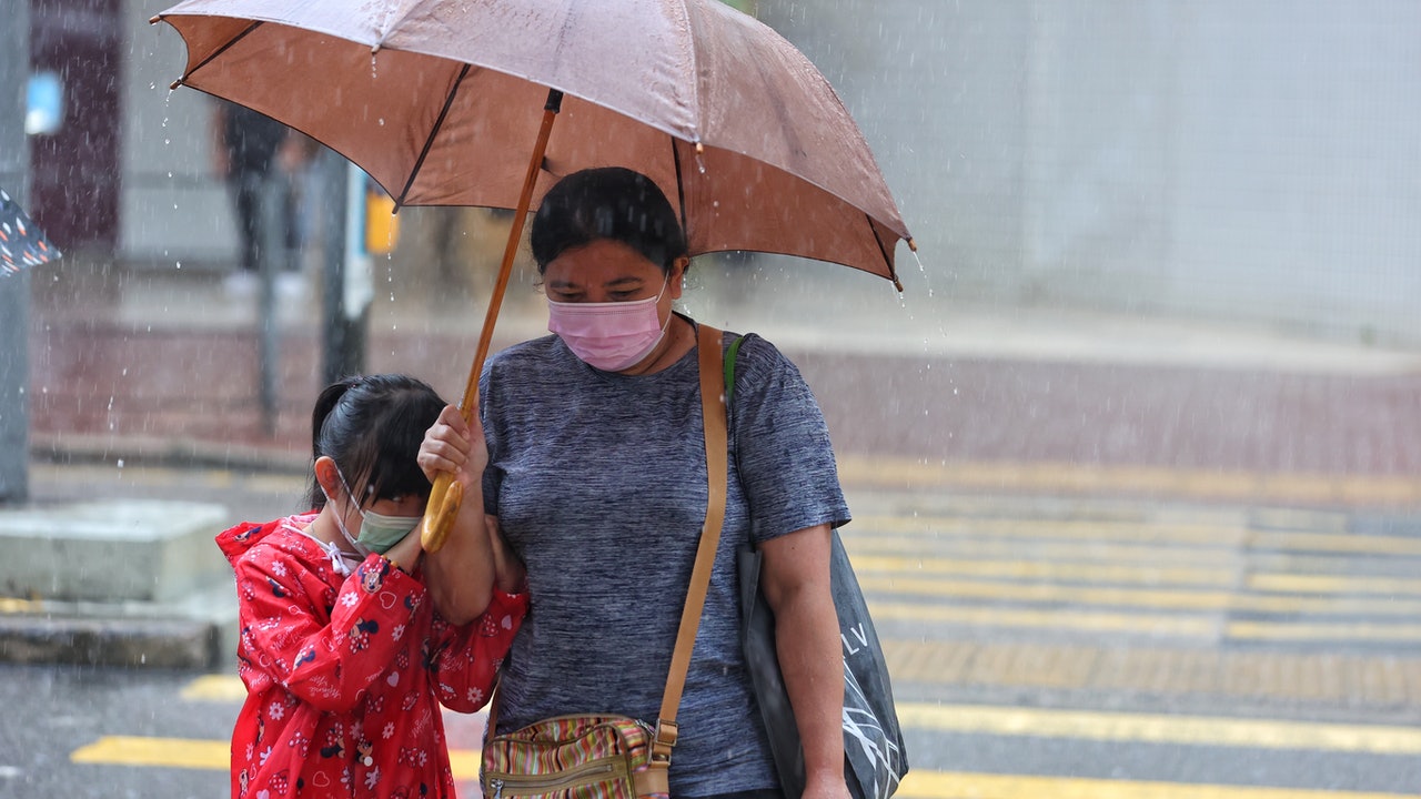
There were also torrential rains in various districts of Hong Kong today (20th). However, as Typhoon "Chapaka" gradually moved away from Hong Kong and weakened, the Observatory changed its alert signal No. 1 at 1:20 pm.
Chapaka earlier intensified rapidly. After intensifying into a tropical storm at 8 am yesterday (19th), the typhoon has been upgraded at 2 am today, that is, it has been upgraded to three levels in 18 hours.
However, the Observatory predicts that Chapaka will turn in a "C" shape on Thursday (22nd) and pass through Hainan Island and return to the South China Sea, after which it will weaken into an area of low pressure.
"Return to Horse Wind" went round and round again in the South China Sea, but was unable to "be evil" anymore.
The former assistant director of the observatory, Leung Rongwu, explained that the main reason for Chapaca’s unsustainable stamina was that it was still close to land after being "off the sea". Was merged.
▼On July 20th, the Observatory will reissue the No. 1 alert signal▼
+9
The Observatory stated that at 2 pm, Typhoon Chapaka gathered about 200 kilometers west-southwest of Hong Kong. It is expected to move slowly to the northwest or north-northwest, gradually approaching the coast of western Guangdong. The rainbands associated with Chapaka will still be It brought heavy showers and squalls to Hong Kong today.
Chapaka recently upgraded to three levels in 18 hours, from a tropical depression to a typhoon.
Liang Rongwu pointed out that there are many reasons for the strengthening of tropical cyclones, including hot sea temperature and weaker vertical wind shear; and high-altitude divergence, such as "exhaust fans" that draw tropical cyclone air to the top to increase updraft.
In addition, when tropical cyclones are "buried", there will be signs of intensification, but they will not last for a long time.
The Observatory predicts that a southwesterly airstream will bring showers to the south China coast early next week.
(Screenshot of the Observatory's website)
According to the current forecast path, Chapaka will land later today, gradually moving away from Hong Kong and weakening.
The track map of the observatory shows that Chapaka will weaken into a severe tropical storm after it makes landfall in Yangjiang City tomorrow (21st).
On Friday (23rd), it weakened again into a tropical depression. It is predicted that the path will turn to Hainan Island in a "C" shape and return to the South China Sea. However, it is expected to weaken further into an area of low pressure thereafter.
Days of breaking the land and then out of the South China Sea difficult to enhance the impact of the non-Fujiwara effect
Why will Chapaka have no stamina after he breaks into the South China Sea?
Liang Rongwu explained that tropical cyclones will weaken after they make landfall.
And Chapaka has also been on land for several days, "the surroundings are all land, so it will hardly be strengthened."
Liang also emphasized that since the severe tropical storm "Fireworks" in the sea east of Taiwan is temporarily weak, and when it landed on the coast of Zhejiang and Fujian on Saturday (24th), Chapaka was located outside Hainan Island. The distance between the two is very far, so it is estimated that the investigation Paka was not merged because of the Fujiwara effect.
Liang Rongwu, former assistant director of the observatory.
(Profile picture)
Chapaka typhoon signal | C-shaped turn will weaken the impact of the Observatory’s “fireworks” reaching 34 degrees on Friday. Chapaka typhoon signal will be increased by two levels until the Severe Tropical Storm Observatory’s train is changed to No. 8 typhoon signal. Two conditions Chapaka typhoon signal| Hanging red flags at Shek O Beach, watch the waves and watch the shadows, check in and feel the wave of the No. 3 chapaka typhoon | "The enchanting wind" C-shaped movement and "fireworks" may form the Fujiwara effect
01News