The Observatory issued the Strong Wind Signal No. 3 at 4:10 pm yesterday (19th) and it is still in effect.
"Chapaka" intensified into a typhoon at 2 am on Tuesday (20th).
According to the Observatory, Chapaca is moving steadily towards the western coast of Guangdong.
According to the current forecast path, Chapaka will land in the area later today, gradually moving away from Hong Kong and weakening.
The wind in Hong Kong is gradually weakening, and the Observatory will issue the No. 1 alert signal in the next few hours.
The Education Bureau announced the suspension of kindergartens today.
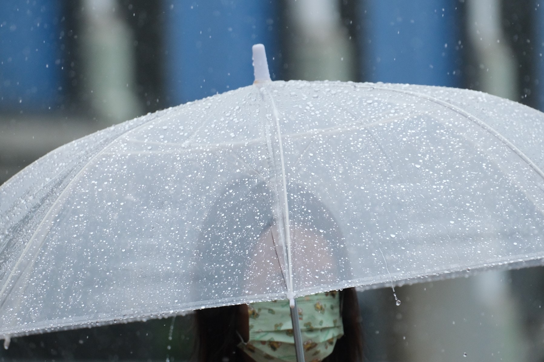
The Observatory issued an amber rainstorm warning signal at 11:40 am.
The rainbands associated with Chapaka will occasionally bring heavy showers and squalls to Hong Kong today.
▼Chapaca progress on July 20▼
[12:45] The Observatory stated that the "Chapaca" is moving steadily to the western coast of Guangdong.
According to the current forecast path, Chapaka will gradually move away from Hong Kong and weaken.
The wind in Hong Kong is gradually weakening and the Observatory is about to issue the No. 1 alert signal.
The Observatory also pointed out that the rainbands associated with Chapaka will continue to bring heavy showers and squalls to Hong Kong today, and the public should remain vigilant.
[11:45] Chapaka is moving steadily to the western coast of Guangdong.
According to the current forecast path, Chapaka will land in the area later today, gradually moving away from Hong Kong and weakening.
The wind in Hong Kong is gradually weakening, and the Observatory will issue the No. 1 alert signal in the next few hours.
The rainbands associated with Chapaka will occasionally bring heavy showers and squalls to Hong Kong today.
The public still needs to be vigilant.
[11:40] The observatory issued a yellow rainstorm warning signal at 11:40 in the morning.
[10:00] The Hong Kong Observatory stated that "Chapaca" is wandering off the coast of western Guangdong, and the distance from Hong Kong has not changed much.
When Chapaka is clearly far away from Hong Kong or the landing weakens, the Observatory will consider changing the alert signal No. 1 in the afternoon.
The rainbands associated with Chapaka will occasionally bring heavy showers and squalls to Hong Kong today.
In the past hour, the highest sustained wind speed recorded in Tai Mei Tuk was 43 kilometers per hour and the highest gust was 53 kilometers per hour.
(Screenshot of the Observatory's website)
[09:00] The Hong Kong Strong Wind Signal No. 3 is now in effect. The average wind speed in Hong Kong is expected to be 41 to 62 kilometers per hour.
At 9 am, Typhoon Chapaka gathered about 210 kilometers west-southwest of Hong Kong, that is, near 21.3 degrees north latitude and 112.5 degrees east longitude. It is expected to move slowly to the north-northwest, gradually approaching the western coast of Guangdong.
The Mainland Meteorological Department predicts that "Chapaca" is more likely to make landfall in the coastal areas from Zhuhai to Maoming from noon to night.
As for the Macau Geophysical and Meteorological Bureau, the "Chapaca" storm circle only kept a small area and moved westward than expected, maintaining a distance of more than 140 kilometers from Macau, which is farther than expected. Typhoon Signal No. 3 Will be maintained in the morning.
Unless "Chapaca" turns to take a path closer to Macau again, there is little chance that it will need to change to a higher typhoon.
[07:35] The Observatory issued a special weather reminder that a wide area of Hong Kong may be affected by heavy rain in the short term. The public should be alert.
[06:45] Chapaka is moving slowly, and there are still variables in its future path. The Observatory said that it will closely monitor its trends and development.
The rainbands associated with Chapaka will occasionally bring heavy showers and squalls to Hong Kong today.
In the past hour, the highest sustained wind speeds recorded at Ngong Ping, Cheung Chau and Cheung Chau beaches were 72, 50 and 43 kilometers per hour respectively, and the highest gusts were 96, 60 and 56 kilometers per hour respectively.
[05:20] The Education Bureau announced that due to tropical cyclone warning signal No. 3 is now in effect, kindergartens, schools for physically handicapped children and schools for children with intellectual disabilities will be closed today.
(Screenshot of the Observatory's website)
[01:56] The Observatory announced that Chapaka has intensified from a severe tropical storm to a typhoon, and it has risen from a tropical depression to a typhoon in a row within 16 hours.
At 2 o'clock in the morning, Chapaka gathered about 220 kilometers southwest of Hong Kong, and was expected to move slowly to the north, gradually approaching the area west of the Pearl River Estuary.
However, the range of gales associated with Chapaca is relatively narrow. The Observatory stated that unless Chapaca increases significantly or takes a path closer to Hong Kong, there is little chance of gale blowing in Hong Kong in general.
It is expected that the strong wind signal No. 3 will be maintained for a period of time this morning.
The rainbands associated with Chapaka will occasionally bring heavy showers and squalls to Hong Kong today.
There are still variables in Chapaka's path and intensity changes, and the Observatory will closely monitor its movements and development.
In the past hour, the highest sustained wind speeds recorded at Ngong Ping, Tate’s Cairn and Tap Mun were 60, 49 and 45 kilometers per hour respectively. They were all strong winds, and the highest gusts were 75, 66 and 53 kilometers per hour respectively.
▼On July 19th, tropical storm Chapaka struck Ha Shek O, there are still citizens swimming ▼
+8
Chapaca Progress on July 19
Chapaka typhoon signal | Two conditions for upgrading two levels to the Severe Tropical Storm Observatory's change to No. 8 typhoon signal
[19:53] The Observatory said that Tropical Storm Chapaka has intensified into a severe tropical storm.
At 8 p.m., Chapaka gathered about 190 kilometers southwest of Hong Kong, and was expected to move slowly to the north, gradually approaching the area west of the Pearl River Estuary.
Chapaka Typhoon | Macau has a medium-to-high typhoon signal No. 8 typhoon signal on the high ground of Hong Kong to blow the No. 8 typhoon signal
[19:10] Hong Kong was affected by tropical storm "Chapaca" today (19th), with cross winds and rain in various districts. The Observatory issued a strong wind signal No. 3 at 4:10 pm, which is the first typhoon signal No. 3 this year in Hong Kong. .
According to the Observatory, in the past few hours, Chapaka has moved slowly to the north and will gradually approach the coast of western Guangdong. The wind in the Pearl River estuary area will increase from tonight to tomorrow morning.
The Macao Meteorological Bureau also hoisted the No. 3 typhoon signal at 2:30 in the afternoon and issued an early warning at 5:30. The possibility of changing to the No. 8 typhoon signal from the early morning to the morning of tomorrow (20th) is "medium to high"; the Hong Kong Observatory predicts that there will be tomorrow. Showers and strong winds, sometimes heavy rain and thunderstorms, large waves and swells in the sea, generally fresh to strong winds (level 5 to 6) east to southeast winds, and occasional gales (level 8) on highlands, namely The wind force of Typhoon Signal No. 8 has been reached.
The Observatory predicts that tomorrow (20th) there will be showers and squally winds, sometimes heavy rains and thunderstorms.
(Screenshot of the Observatory's website)
[18:48] The Observatory stated that the range of gales related to Chapaca is relatively narrow. Unless Chapaca increases significantly or takes a path closer to Hong Kong, there is little chance that gales will blow in general in Hong Kong. There is little chance of a gale or storm signal.
However, there are still variables in Chapaka's path and intensity changes, and the Observatory will closely monitor its movements and development.
The Observatory stated that the strong wind signal No. 3 will be maintained for a period of time in the evening, reminding the public to pay attention to the latest weather report before going out tomorrow morning (20th).
Chapaka Typhoon | Red flags hung at Shek O Beach, unobstructed, watch the waves, check in and feel the power of wave 3
[18:12] "Chappaka" is turning around in Taita, and the observatory has changed to typhoon signal No. 3 this afternoon, urging citizens to stay away from the shore and stop all water activities.
However, the red flag of Shek O Beach is high under the wind. Even if there are swells on the sea, many citizens and swimmers still come to watch the waves without fear of the wind and waves. Some are excited about being able to embrace the big waves, and some children say they are excited.
Even if he didn't get into the water, posing in front of the high waves and punching in the camera was one of the designated actions this afternoon.
During the period when Typhoon Signal No. 1 took effect on July 19, citizens visited Shek O to watch the waves.
(Photo by Zheng Zifeng)
[16:55] The Observatory said that in the past few hours, Chapaca moved slowly to the north, and will gradually approach the coast of western Guangdong. The wind in the Pearl River estuary area will increase from tonight to tomorrow morning.
The strong wind signal No. 3 is expected to be maintained for a period of time.
There are still variables in Chapaka's path and intensity changes, and the Observatory will closely monitor its movements and development.
In addition, the rainbands associated with Chapaka will bring heavy showers and squalls to Hong Kong tonight and tomorrow.
[16:15] The Education Bureau announced that due to Tropical Cyclone Warning Signal No. 3 is now in effect, kindergartens, schools for physically disabled children and schools for children with intellectual disabilities will be closed today.
The above-mentioned schools must keep their school premises open and implement contingency measures to take care of students who have returned to the school, and only if it is safe to arrange for students to return home.
[16:10] The Observatory changes the No. 3 strong wind signal.
The Observatory predicts that the average wind speed in Hong Kong is 41 to 62 kilometers per hour. The public is urged to tie up objects that are easily blown over by the wind or move them indoors, stay away from the shore and stop all water activities.
According to the current forecast path, Chapaka will gradually approach the western coast of Guangdong, and the wind in the Pearl River estuary area will increase later today until tomorrow morning.
According to the Observatory's path information, Chapaca will then make a sharp turn in a "C" shape and land in Yangjiang City on Wednesday. However, after crossing Hainan Island on Friday, it will "go to the sea" again and enter the South China Sea.
Chapaka Typhoon | C-shaped movement or the Fujiwara effect due to fireworks circulation appeared 4 years ago
[16:03] Entering the wind season, two tropical cyclones have entered Hong Kong within 800 kilometers of Hong Kong. Among them, tropical storm "Chapaca" gathered within 200 kilometers southwest of Hong Kong this afternoon (19th), and then it showed "C" The font moves, according to the current predicted path, or the "Fujiwara effect" caused by the approaching severe tropical storm "Fireworks".
The Observatory explained that due to the weak guiding airflow of the "Chapaca", the movement is slow and "circling". In addition, the path and intensity of its movement are variable. Whether it and the "fireworks" will form the "Fujiwara effect" remains to be seen .
In the past five years, the tropical cyclones that produced this effect include the "Lion Rock" and "Dandelion" in August 2016, and the "Nesha" and "Begonia" in July 2017.
[15:45] The observatory said that in the past one or two hours, Chapaca moved slowly to the north.
According to the current forecast path, Chapaka will gradually approach the western coast of Guangdong, and the wind in the Pearl River estuary area will increase later today until tomorrow morning.
The Observatory is about to re-issue the No. 3 strong wind signal.
The rainbands associated with Chapaka will occasionally bring heavy showers and squalls to Hong Kong today.
[14:20] The Macao Meteorological Bureau will issue Typhoon Signal No. 3 at 14:30.
[14:05] The observatory canceled the yellow rainstorm warning signal at 2:05 pm.
[13:45] The Observatory said that it will consider re-transmitting the No. 3 strong wind signal in the next few hours.
At 2 pm, Tropical Storm Chapaka gathered about 180 kilometers southwest of Hong Kong. In the past one or two hours, Chapaka moved slowly to the north.
According to the current forecast path, Chapaka will gradually approach the western coast of Guangdong, and the wind in the Pearl River estuary area will increase later today until tomorrow morning.
[12:35] The Observatory issued an amber rainstorm warning signal at 12:30 this afternoon, indicating that heavy rain with an hourly rainfall exceeding 30 mm has been recorded or expected in a wide area of Hong Kong, and the rain may continue.
This is the second time the warning was issued today after the yellow rain was issued at 3:50 in the morning.
According to the forecast of the Macao Meteorological Bureau, the probability of typhoon signal No. 3 being issued between 2 pm and 5 pm is relatively high, while the probability of typhoon signal No. 8 being issued from early morning to morning tomorrow is low to medium.
The Central Meteorological Observatory in the Mainland predicts that the center of Chapaka will circulate or move slowly and gradually increase in intensity. It will land in the coastal area from Shenzhen to Maoming in Guangdong from tomorrow night to Wednesday (21st) morning; it may also be in the coastal waters of central and western Guangdong. Hovering, then move to the northeast.
Chapaca | Typhoon Signal No. 1 takes effect
[12:05] According to the Observatory, Chapaka gathered about 190 kilometers southwest of Hong Kong at 12 noon today, that is, near 20.9 degrees north latitude and 113.1 degrees east longitude. The highest continuous wind speed near the center is 65 kilometers per hour.
The observatory expects that Chapaka will barely move at first, and then slowly move north-northwest, gradually approaching the area west of the Pearl River Estuary.
The rainbands associated with Chapaca will occasionally bring heavy showers and squalls to Hong Kong today.
According to the forecast of the observatory's path map, Chapaka will land in the area of Yangjiang City tomorrow and gradually weaken into a tropical depression.
However, it is expected that the subsequent Fujiwara effect (double typhoon effect) will change drastically on Friday (23rd) and will go into the sea again after crossing Hainan Island.
▼ECMWF forecast by European Center for Medium-Term Weather Forecast▼
▼U.S. Global Forecast System GFS Forecast▼
(Screenshot of the Observatory's website)
Chapaka | Typhoon Signal No. 1 will take effect at the earliest in the afternoon. The Observatory will consider re-issued Typhoon Signal No. 3 as early as late in the afternoon. The Yellow Rainstorm Warning Signal No. 1 is still hoisted or severe flooding wind appears on Lamma Island. The tropical depression will make a big turn in the South China Sea. The Observatory plans to set up Typhoon No. 1 tonight and tomorrow morning. The northern low pressure area of the South China Sea is near and strengthened. The yellow rain sees the Rainbow Observatory. Typhoon fireworks hit both sides of the Taiwan Strait for Hong Kong on Friday. Bring high temperature haze
01News