Heavy rains caused rivers and streams to swell in Bavaria.
The Isar flood in Munich now seems to have reached its peak.
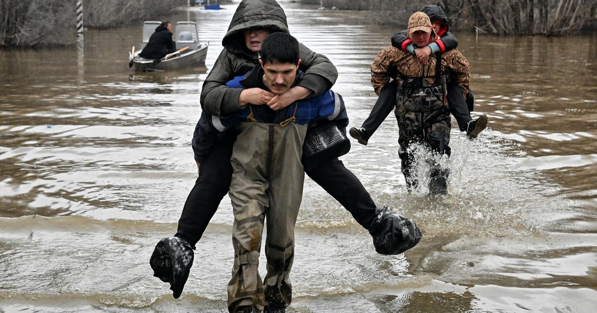
Heavy rain led to severe flooding in the Berchtesgadener Land *, among other places.
In Munich, the Isar floods no longer seem to increase sharply
(see update from July 20, 7.43 a.m.).
This weather * ticker is updated regularly.
Update from July 20, 7.43 a.m.: All-
clear from the state capital Munich: During the night, the Isar level rose to 309 centimeters at times. This can be seen from the values of the HND. As of 7 a.m. this morning: After the values fell slightly again, the river has leveled off again at 309 centimeters. Reporting level 2 currently applies (from 300 centimeters). Fortunately, the Isar is still a long way from the next reporting level - from 380 centimeters.
Update from July 19, 8:33 p.m.:
The feared flood situation will probably not be in Munich.
The Isar level is currently 305 centimeters (as of 8.15 p.m.).
Fortunately, the forecast that the water would be 330 centimeters at around 8 p.m. has not come true.
The prognosis of the HND also shows that a dramatic increase is no longer expected.
So the worst in Munich should be over for the time being.
Nevertheless, as of now, it cannot be completely ruled out that the water could still rise overnight.
The final all-clear is not expected until Tuesday evening (July 20th).
Flood in Munich: Isar Reaching Highest Level?
The water level seems to level off
Update from July 19, 5:23 p.m.:
Will the Isar reach its peak tonight?
The level is currently 303 centimeters (as of 5.15 p.m.).
In the last few hours it had actually decreased a bit.
The prognosis of the HND even shows a further decrease in the level.
It remains to be seen whether the situation will worsen again in the course of the evening.
The city also reported via Twitter that all cycle paths and sidewalks on the east side of the Isar have been closed for security reasons.
In addition, the Flauchersteg is closed until further notice.
Update from July 19, 1:52 p.m.: Not
much is missing until the supposed daily high.
As of 1:45 p.m., the Isar level is 311 centimeters.
Around 8 p.m., the experts at the HND expect the high of around 330 centimeters.
Flood “crime thriller” in Munich: Isar passes the next level mark - the city is now taking action
Update from July 19, 12:10 p.m
.: The department for climate and environmental protection has issued a bathing and boating ban for the Isar due to the persistent flood situation.
Driving on the Isar and swimming in the Isar in the urban area of Munich from the southern city limits after the Großhesseloher bridge to the Leinthaler bridge in the north are now prohibited without exception.
“The Isar carries a lot of driftwood and shows strong turbidity and currents.
There is a significant risk to life and limb when people bathe in the Isar or navigate the Isar with boats and other floating bodies of any kind, "it said in a message.
Flood “crime thriller” in Munich: Isar passes the next level mark - and the climax is yet to come
Update from July 19, 10:26 am:
A real "crime thriller" had developed around the flood reporting level in Munich in the morning.
At 9.45 am the level of the Isar was 296 centimeters and thus only four centimeters below reporting level 2. This has now been reached.
At the last measurement at 10.15 a.m. the level was 306 centimeters.
It will continue to rise over the course of the day, although it will be subject to certain fluctuations.
The peak should be 330 centimeters.
Flood “thriller” in Munich: Isar level will continue to rise despite the sun - new warning level is imminent
First report from July 19, 9.48 a.m .:
Munich - After the heavy storms at the weekend, the risk of flooding in Bavaria is not averted.
Several cities and districts are currently colored red on the warning map of the flood intelligence service (HND), which means a "flood warning of the risk of flooding for built-up areas." The city of Ingolstadt, the district of Neuburg-Schrobenhausen, Rosenheim, Mühldorf am Inn and Passau are affected.
Storm in Bavaria: "Crime" about flood reporting level in Munich
Several areas are colored orange, so there is a “flood warning of embankments and floods” for them. In addition to Augsburg, the district of Freising and the district and city of Munich are also affected. The HND currently puts the level for the urban Isar at 296 centimeters (measured value at 9.45 a.m.). Four centimeters are therefore still missing for reporting level 2.
According to the HND, reporting level 2 means: “Agricultural and forestry areas are flooded or there are slight obstructions to traffic on main traffic and municipal roads.” The reason for the rising level: “
The abundant rainfall in the Alpine region has led to a considerable rise in the water level in the Sylvenstein reservoir.
In order to create new flood storage space, an increased charge to the Isar is necessary, so that despite the sunshine, long-lasting floods in the Isar can be expected.
“(
Came) * Merkur.de / bayern is an offer from IPPEN.MEDIA
By the way: The most important stories from the Free State are now also available in our brand new, regular Bayern newsletter.
List of rubric lists: © Manuel Schwarz / dpa