Hong Kong sees sunshine again today, but the Observatory predicts that the low pressure area currently located near the Leizhou Peninsula will slowly move eastward and may develop into a tropical cyclone in the next two or three days, crossing the coastal waters of Guangdong, but its path and development are variable.
The Observatory predicts that the heavy rain and thunderstorms associated with it will affect the coast of South China and the northern part of the South China Sea in the middle and late part of this week.
According to the nine-day weather forecast from the Observatory, the offshore wind force of Hong Kong on Thursday (5th) and 5th (6th) is at level 6, that is, the wind force of Typhoon Signal No. 3 is reached.
As for the European and American forecast systems, it is expected that the low pressure area will pass through Hong Kong from Wednesday (4th) to Thursday, and will generally move towards Japan and South Korea.
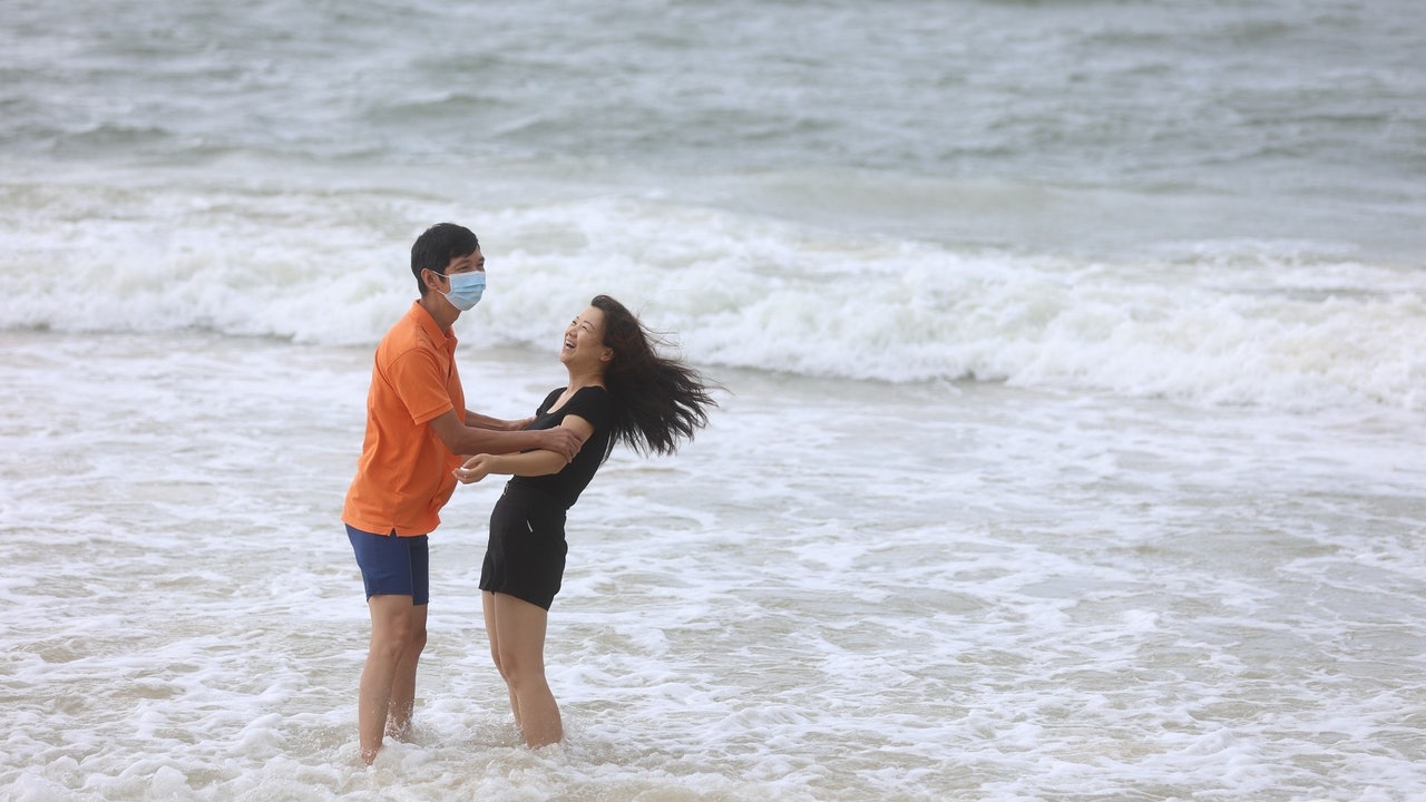
▼On July 19th, tropical storm Chapaka struck Ha Shek O, there are still citizens swimming ▼
+8
The Observatory said that showers are affecting the coast of Guangdong and the northern part of the South China Sea.
In addition, the low pressure area near Leizhou Peninsula is bringing unstable weather to the area.
It is expected that today (2nd) will be mainly cloudy with showers and thunderstorms in some areas; there will be sunshine and heat for a short time in the afternoon.
Slight to moderately westerly wind.
Looking forward to more showers tomorrow, there will be showers and strong winds on Wednesday (4th) and 4th (5th).
The Observatory also predicts that the low pressure area currently located near the Leizhou Peninsula will slowly move eastward, and it may develop into a tropical cyclone in the next two or three days, crossing the coastal waters of Guangdong.
From tomorrow (3rd), it is expected to rain on the 9th. There will be more clouds on Thursday and Friday, with showers and thunderstorms, and the rain will sometimes be heavy.
▼ECMWF forecast▼
▼GFS forecast▼
The Observatory also predicts that there will be winds of force 6 offshore on Thursday and Friday. According to the Beaufort wind scale, the average wind speed is 41 to 51 kilometers per hour, which is already the wind force of the No. 3 typhoon.
In terms of temperature, the temperature is expected to drop slightly to between 27 and 30 degrees in the two days.
The sun is expected to reappear briefly until next Sunday (8th) and next Monday (9th), but there will also be a few showers; the temperature will rise to between 28 and 32 degrees.
With reference to the European Center for Medium-Term Weather Forecast (ECMWF) forecast, the low-pressure area was the closest to Hong Kong on Wednesday and passed over the sea facing Hong Kong; it then moved across the Taiwan Strait towards South Korea.
However, ECMWF expects that the wind will not be strong. The air pressure at the center of the sea level when it was the closest to Hong Kong on Wednesday was 990 hPa, only reaching the intensity of a tropical storm.
The US Global Forecasting System (GFS) is also expected to be the closest to Hong Kong on Wednesday, and then move roughly towards Japan.
The air pressure at the center of the sea level on Wednesday was 994 hPa, which is also the intensity of a tropical storm.
According to the nine-day weather forecast from the Observatory, the offshore wind force of Hong Kong on Thursday (5th) and 5th (6th) is at level 6, that is, the wind force of Typhoon Signal No. 3 is reached.
(Screenshot of the Observatory's website)
▼On July 20, the Observatory once issued the No. 3 strong wind signal and the yellow rainstorm warning signal▼
+9
The Observatory’s Guide to Yadao Island is extremely rainy or severely flooded. The thunderstorm will continue until the beginning of the autumn. The thunderstorm will hit the Observatory. There will be heavy rain in the afternoon. Special reminders are expected to be thunderstorms for five consecutive days. "Fireworks" affects the chapaka typhoon signal reaching 34 degrees on Friday | Up to two levels to the Severe Tropical Storm Observatory and changing the No. 8 typhoon signal to the two conditions Chapaka typhoon signal.
Overview|The Observatory cancels all tropical cyclone warnings and winds gradually weaken
01News


/cloudfront-eu-central-1.images.arcpublishing.com/prisa/NVNWO3I775MZS65U3OPMLBFLF4.jpg)