The weather near the port of Japan is unstable, and we will see a tropical cyclone again in August.
The observatory stated that the low pressure area east of the Leizhou Peninsula has intensified into a tropical depression.
At 8 pm, the tropical depression gathered about 180 kilometers east-northeast of Haikou, and is expected to move slowly eastward across the coastal waters of Guangdong.
The observatory issued a special weather alert at 8:50 pm, stating that the current low pressure area east of the Leizhou Peninsula has intensified into a tropical depression, and the observatory will issue the No. 1 alert signal soon.
The Macao Meteorological Bureau issued typhoon signal No. 1 at 7 pm and is expected to be maintained at night.
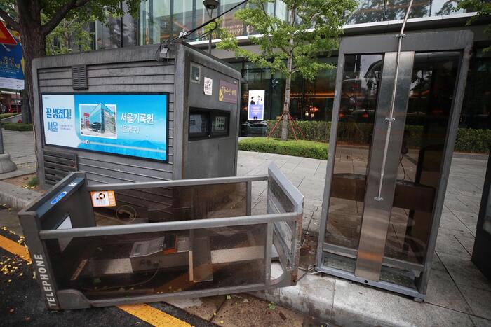
▼On July 20, the Observatory once issued the No. 3 strong wind signal and the yellow rainstorm warning signal▼
+9
The Observatory said that due to the low pressure area of Leizhou Peninsula, there were showers and squally thunderstorms in coastal areas from Wednesday (4th) to Friday (6th).
The low pressure area rarely moves eastward
The path of tropical cyclones approaching Hong Kong often moves from east to west, that is, blowing from the South China Sea to Hong Kong.
However, the path of the Leizhou Peninsula low-pressure area is rarely moved from west to east. Peng Zhijian, senior scientific director of the observatory, explained to "Hong Kong 01" that due to the influence of the active monsoon trough in Guangdong, low-pressure areas develop at any time under strong convection.
He also pointed out that the path of tropical cyclone is affected by many factors, and the speed and direction of the low pressure area are still uncertain.
Peng said that it is not uncommon for tropical cyclones to move west to east. The last time it was "Tali" which was generated on the east side of Hainan Island in June 2012, the observatory issued a strong wind signal of up to No. 3 due to its influence at that time.
The Observatory said that the low pressure area currently located near the Leizhou Peninsula is expected to move slowly eastward and may develop into a tropical cyclone in the next two or three days, crossing the coastal waters of Guangdong.
(Picture of the Observatory)
According to the Macao Meteorological Bureau, the low pressure area on the western coast of Guangdong has developed into a tropical depression. It is expected that the tropical depression will cross the northern part of the South China Sea in the next two or three days, bringing unstable weather to the coast of Guangdong. There will be occasional heavy showers in Macao during this period. And thunderstorms.
The Central Meteorological Observatory in the Mainland predicts that the low-pressure center will move eastward and northeastward at a speed of about 10 kilometers per hour, and the intensity will gradually increase, and the strongest can reach tropical storm level or severe tropical storm level.
The Central Meteorological Observatory also predicts that the low-pressure area will pass or land on the coast of central Fujian on Thursday (5th), and then move into the East China Sea.
▼ECMWF forecast▼
▼GFS forecast▼
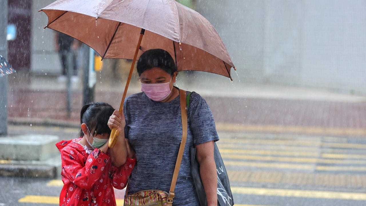
▼On July 19th, tropical storm Chapaka struck Ha Shek O, there are still citizens swimming ▼
+8
Leizhou Peninsula low pressure area is expected to "rise". The Observatory will consider hoisting the No. 1 Typhoon Observatory tonight until tomorrow morning. The rain on Ya Island is particularly heavy or there is severe flooding. The thunderstorm will continue until the beginning of the autumn Chapaka typhoon. Liang Rongwu dismantled the "return to the horse wind", the reason for the unsustainable stamina of the Chapaka typhoon | C-shaped turn will weaken the impact of the Observatory's "fireworks" to 34 degrees on Friday
01News