
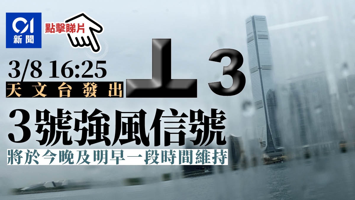
A tropical depression is approaching Hong Kong, and the Observatory issued the Strong Wind Signal No. 3 at 4:25 pm on Tuesday (3rd).
According to the Observatory, at 4 pm, the tropical depression in the northern part of the South China Sea gathered about 120 kilometers south-southwest of Hong Kong. It is expected to move slowly eastward across the coastal waters of Guangdong.
August 4th [03:45] The Observatory said that in the past few hours, the relevant tropical depression gradually moved away from Hong Kong, and the local wind gradually weakened.
The Observatory will change the alert signal No. 1 in the short term.
The rainbands associated with this tropical depression will bring showers and squalls to Hong Kong in the next few days, and there will be swells on the sea surface.
Citizens, please stay alert.
Extended reading: another tropical cyclone going west to east after 9 years
▼On August 3, the Observatory issued the No. 3 strong wind signal▼
+7
August 4th [02:00] The Observatory said that at 2 a.m., the tropical depression in the northern part of the South China Sea gathered about 150 kilometers south-southeast of Hong Kong. It is expected to move slowly to the east at first, and then to the northeast. At a speed of about 10 kilometers per hour, it traverses the coastal waters of Guangdong.
According to the current forecast path, the tropical depression will gradually move away from Hong Kong. When the tropical depression no longer poses the threat of general strong winds to Hong Kong, the Observatory will issue the No. 1 alert signal instead.
August 4th [00:00] The Observatory said that the tropical depression gathered about 150 kilometers south of Hong Kong, and is expected to move slowly to the east, crossing the coastal waters of Guangdong.
August 3 [19:50] The Observatory stated that at 8 p.m., the tropical depression in the northern part of the South China Sea gathered about 120 kilometers south of Hong Kong and is expected to move slowly eastward across the coastal waters of Guangdong.
[18:30] The tropical depression did not bring heavy rain to Hong Kong during the day. In the evening it was light rain and rainbows appeared in the sky, mainly seen in the western part of Hong Kong.
[16:50] In the past hour, the highest continuous wind speeds recorded by the Observatory at Ngong Ping and Cheung Chau were 58 and 47 kilometers per hour, and the highest gusts were 74 and 55 kilometers per hour.
[16:47] The Tourism Commission announced that as the Hong Kong Observatory has issued the No. 3 strong wind signal, the performance of "Symphony of Lights" tonight has been cancelled.
[16:33] The Social Welfare Department announced that Tropical Cyclone Warning Signal No. 3 has been issued. All child care centers, centers that provide after-school care services, elderly service centers, including sheltered workshops, comprehensive vocational rehabilitation service centers, comprehensive vocational training centers, and exhibition centers. Day rehabilitation service units, including the energy center, will continue to be open during their normal office hours.
If necessary, citizens can contact the relevant centers to arrange for their children or family members to return home safely.
The Home Affairs Department has set up a 24-hour emergency hotline 25728427 for citizens to inquire about relevant information.
[16:26] As tropical cyclone warning signal No. 3 is now in effect, kindergartens, schools for physically handicapped children and schools for children with intellectual disabilities are closed today.
However, the above-mentioned schools must keep their school premises open and implement contingency measures to take care of students who have returned to the school, and only when it is safe to arrange for students to return home.
[16:25] The strong wind signal No. 3 was issued at 4:25 pm.
The Observatory predicts that the average wind speed in Hong Kong is 41 to 62 kilometers per hour.
The Observatory reminds the public to tie up objects that are easily blown over by the wind or move them indoors, stay away from the shore and stop all water activities.
At 4 pm, the tropical depression located in the northern part of the South China Sea gathered about 120 kilometers south-southwest of Hong Kong. It is expected to move slowly eastward across the coastal waters of Guangdong.
According to the current forecast path, the tropical depression will be the closest to Hong Kong tonight, passing about 100 kilometers south of Hong Kong.
Unless the tropical depression intensifies significantly and moves closer to Hong Kong, there is generally a lower chance of strong winds in Hong Kong.
The strong wind signal No. 3 will be maintained for some time tonight and tomorrow morning.
The rainbands associated with this tropical depression will continue to bring showers and squalls to Hong Kong today and in the next few days, and there will also be swells on the sea.
[15:52] The Hong Kong Observatory stated that the wind in Hong Kong has increased in the past few hours.
According to the current forecast path, the tropical depression will be the closest to Hong Kong tonight, passing about 100 kilometers south of Hong Kong.
As the tropical depression approaches, Hong Kong’s wind will increase further tonight, and the Observatory will issue the No. 3 strong wind signal in a short period of time.
[14:00] The Observatory said that at 2 pm, the tropical depression in the northern part of the South China Sea gathered about 130 kilometers south-southwest of Hong Kong, that is, near 21.3 degrees north latitude and 113.6 degrees east longitude. It is expected to move slowly eastward and cross Guangdong. Coastal waters.
According to the current forecast path, the tropical depression will be the closest to Hong Kong from tonight to tomorrow morning, passing about 100 kilometers south of Hong Kong.
Macau Meteorological Bureau: Low chance of re-issuing Typhoon Signal No. 8
The Observatory predicts that the tropical depression will then turn to the northeast, approaching the area from eastern Guangdong to the coast of Fujian, but its path and development are variable.
In addition, the observatory’s track forecast shows that the tropical depression is expected to intensify into a tropical storm tomorrow.
As for the Macau Meteorological Bureau, the No. 3 typhoon signal was changed at 1 pm, and it is expected to be maintained during the day, while the wind in Macau will increase; however, the chance of issuing the No. 8 typhoon signal is low.
If the tropical storm is upgraded or named "Lu Bi"
According to the list of tropical cyclones in the Northwest Pacific and South China Sea, if the tropical depression intensifies into a tropical storm, it may be named "Lu Bi".
The name is provided by the Philippines, which means cruel and fierce.
▼On July 19th, tropical storm Chapaka struck Ha Shek O, there are still citizens swimming ▼
+8
▼ECMWF forecast▼
▼GFS forecast▼
Macau Reissued Typhoon No. 3 Observatory: Before and after dusk, consider whether to re-issue the No. 3 strong wind signal. The typhoon No. 1 tropical depression will pass from west to east in the low pressure area of Leizhou Peninsula to the south of Hong Kong. The observatory is expected to rise tonight. Tomorrow morning, consider setting up the No. 1 Typhoon Observatory Guide. The rain on Ya Island is particularly heavy or there will be severe flooding and thunderstorms.
01News


/cloudfront-eu-central-1.images.arcpublishing.com/prisa/KMEYMJKESBAZBE4MRBAM4TGHIQ.jpg)


