
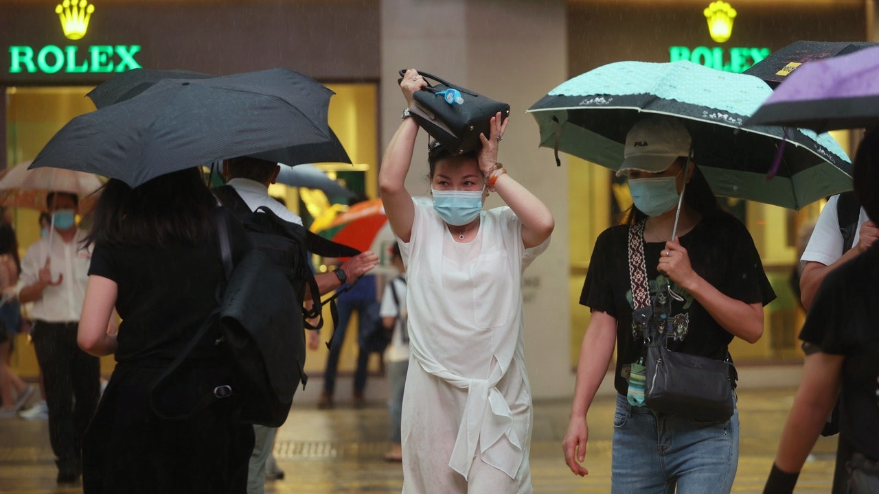
The weather in Hong Kong has been unstable in recent days. The Observatory issued a red rainstorm warning signal in the early hours of today (6th). There were many flooding in the northern district.
According to the Observatory, the southwest monsoon on the south side of the tropical cyclone "Lu Bi" is quite active, and the related strong convection covers most of the northern South China Sea. The shape of the cloud cluster is like Lu Bi's "tail".
The southwesterly airstream will continue to bring heavy showers and thunderstorms to the northern part of the South China Sea tomorrow (7th); the weather along the coast of Guangdong will improve slightly in the next one or two days, and it will be heavy on Friday (13th) and Saturday (14th). Seeing the extremely hot weather, the temperature in the urban area reached 33 degrees Celsius.
Lu Bi will traverse the coastal area of Fujian today and tomorrow. However, there are two other tropical cyclones in East Asia. Among them, the "Milky Way" will move to Honshu, Japan in the next one or two days; the other tropical cyclone "Ni "Da" formed in the sea east of Japan, forming a "three-rotation dance" situation in East Asia and the Western Pacific. However, "Galaxy" and "Nida" are expected to have no effect on Hong Kong.
▼In the early morning of August 6th, the red rain hit multiple flooding in the northern district of Hong Kong▼
+20
According to the Observatory, a southwesterly airstream brought thunderstorms to the coast of Guangdong and the northern part of the South China Sea.
As of 12:30 noon today (6th), the cumulative rainfall in the northern New Territories is generally higher than 70 mm, and in some areas it is higher than 100 mm.
The Observatory also predicted that it was generally cloudy today with occasional showers and a few thunderstorms; the wind eased to a fresh southwesterly wind.
The Observatory explained that as the tropical depression "Lubi" traverses eastern Guangdong and the coastal areas of Fujian, the following active southwest monsoon will also lift northward.
If Lu Bi moves slowly along a more northerly path, the active southwest monsoon and its strong convection following Lu Bi have a greater chance of affecting the Pearl River Estuary area, and Hong Kong is more prone to thunderstorms.
But if Lu Bi quickly moves away to the northeast, Lu Bi’s "tail" has a greater chance of affecting the waters from the northeast of the South China Sea to the south of Hong Kong.
The Observatory predicts that the southwesterly airstream will continue to bring heavy showers and thunderstorms to the northern part of the South China Sea tomorrow (7th).
(Screenshot of the Observatory's website)
Looking ahead to tomorrow (7th) "Beginning of Autumn", Hong Kong will be generally cloudy with occasional showers; there will be squally thunderstorms at first, and then the rain will weaken and the temperature will drop slightly to between 27 and 31 degrees.
At the beginning of next week, the Observatory expects that the showers will gradually decrease and there will be sunshine for a short period of time.
By next Friday (13th) and Saturday (14th), there will be very hot weather again. The Observatory is expected to be generally fine for both days, but there will be showers in some areas.
It is very hot during the day, with temperatures ranging from 28 to 33 degrees in the urban area. It also reaches 34 degrees in Sheung Shui and Ta Kwu Ling.
In addition, the observatory said that at 12 noon today, Lu Bi gathered about 30 kilometers east of Xiamen, and is expected to move slowly to the northeast across the coast of Fujian.
At the same time, tropical storm "Milky Way" gathered about 540 kilometers south-southeast of Kagoshima and is expected to move east-northeast at a speed of about 22 kilometers per hour, crossing the waters south of Japan.
The Central Meteorological Observatory of the Mainland said that the tropical storm "Nida" is on the sea east of Japan, and the maximum wind force near the center is 8 levels.
Nida is expected to move to the northeast at a speed of about 25 kilometers per hour, and the intensity will increase.
▼On August 3, the Observatory issued the No. 3 strong wind signal▼
+7
▼On the afternoon of 8.4, the Observatory issued a yellow rainstorm warning▼
+3
The Observatory cancels all rainstorm warning signals in the early morning. There will be squally thunderstorm Lu Bifengqiu today and tomorrow. The outer rainband affects squally thunderstorms today and tomorrow.
Full view|The Observatory once issued Typhoon Signal No. 3 yellow rainstorm warning to take effect for 5 hours
01News
/cloudfront-eu-central-1.images.arcpublishing.com/prisa/3I74UEXLYRBBRPGPSGWNN6WXH4.jpg)


/cloudfront-eu-central-1.images.arcpublishing.com/prisa/GP2ZXWJRROQQUNBAGJPH3WIOVQ.jpg)