
A scorching episode of four to five days will take place from tomorrow, Thursday, August 12, in the south-eastern regions and part of the Rhône valley, according to La Chaîne Météo *.
Temperatures will exceed the heatwave thresholds in ten departments placed on orange alert for more than three days and three nights in a row, and will reach them for sixteen departments placed on yellow alert.
The map of the departments in heat wave alert until Sunday, August 15 at 10 p.m.
The Weather Channel *
Are placed in orange: Alpes-Maritimes, Aude, Bouches-du-Rhône, Corse-du-Sud, Haute-Corse, Gard, Hérault, Pyrénées-Orientales, Var and Vaucluse .
Are placed in yellow: Ain, Alpes-de-Haute-Provence, Ardèche, Aveyron, Drôme, Haute-Garonne, Isère, Loire, Lozère, Puy-de-Dôme , Rhône, Saône-et-Loire, Savoie, Haute-Savoie, Tarn and Tarn-et-Garonne.
The detailed list of departments affected by the upcoming heat wave.
Screenshot / The Weather Channel *
As a reminder, says La Chaîne Météo *, these heatwave thresholds are between 21 and 23 ° C at night and between 33 and 36 ° C during the day.
This heat wave will continue until Sunday inclusive before a fairly clear drop on Monday.
Beware of the risk of thunderstorms
The sun and heat will therefore be there according to our colleagues from La Chaîne Météo *, with the Azores high at 1024 hPa rising over the Bay of Biscay and another high at 1022 hPa over Poland.
This conjunction will promote the development of thunderstorms that could affect the center-east in the evening, in isolation, but potentially violent.
The strong heat will reach the north to the Paris region.
Clouds will arrive through Brittany.
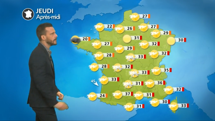
Sun everywhere, heat in the south
From Brittany to Hauts-de-France, via Normandy, the sky will be filled with clouds in the morning but the sun will eventually prevail, except on the tip of Finistère where new low clouds will be present in the afternoon -midday.
Temperatures are rising with 20 to 30 ° C from west to east over the entire area.
From the Pays de la Loire to the Grand Est, the sun will be widely present even if altitude clouds sometimes veil the sky.
The heat will intensify except on the coast due to a sea flow, where temperatures will not exceed 25 ° C.
The highs will be increasing with generally 27 to 33 ° C everywhere else.
Finally, in Bourgogne-Franche-Comté and Auvergne-Rhône-Alpes, the sun will also prevail.
Clouds over the Massif Central could give violent thunderstorms in the evening with hail and strong gusts of wind.
The maximum will range from 32 to 38 ° C on average.
Air pollution alert
From New Aquitaine to Corsica, via Occitania, the heat will quickly be stifling, even if it will be less hot on the Atlantic coast.
The maximum will go from 25 ° C on the Basque Coast to 38 ° C in Toulouse.
Due to the heat episode, the maximum speeds allowed on the roads of Bouches-du-Rhône will be lowered by 20 kilometers / hour on Thursday because of ozone air pollution, the prefecture said Thursday. of the department.
* The Weather Channel belongs to the Le Figaro group.