Damascus-SANA
The Forestry and Fire Monitoring Platform of the General Authority for Remote Sensing announced that the indicators of the danger of the spread of fires indicate that the forest areas in northwest Syria will continue to be affected by the high level of danger from today until next Sunday.
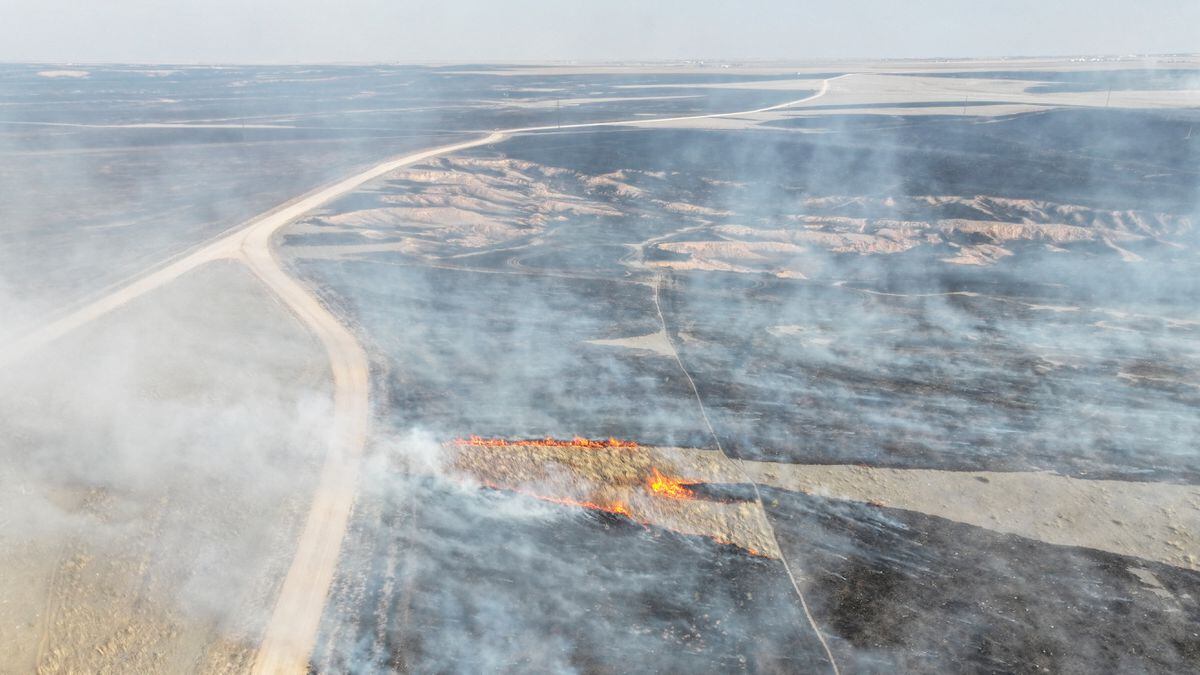
The head of the platform at the authority, Dr. Rosa Karmouqa, stated in a statement to a representative of SANA that the platform published an update of its product showing a map of the intensity of the fire spread index in forest areas, where the maps of fire severity in the forests of northwest Syria indicate a gradual rise in the level of its indicators over the next three days, accompanied by a general increase The temperature, according to the Meteorological Department, ranges between 2 and 6 degrees Celsius.
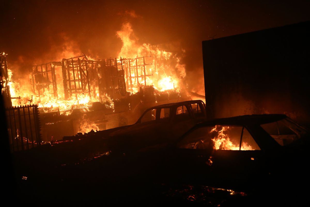
Karmouqa pointed out that the area of forests affected by the high level of risk is expanding, and that it is possible to monitor the impact of some areas with the very high level of risk, pointing out that our Mediterranean forests are currently going through the height of the fire season and the danger of high fires.
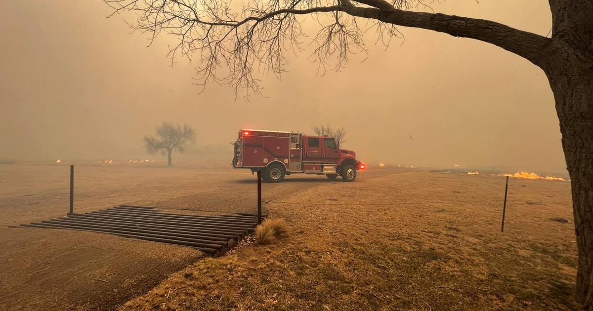
Garmouqa called to be alert to any fire or smoke and report it as soon as it erupts on the toll-free number 188, noting the efforts of forestry workers, forest protection and civil defense for their constant readiness and readiness to protect our forest wealth.
Nour Youssef