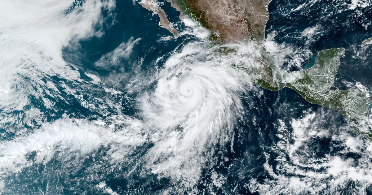
Hurricane Ida is approaching the American coast this Saturday.
It should make landfall on Sunday and affect Louisiana in particular with a particularly dangerous intensity.
As this phenomenon approaches the United States, it grows stronger. It went from tropical storm status to hurricane status before hitting southwestern Cuba overnight from Friday to Saturday, Paris time, where it caused property damage and power cuts. But when it hit the Cuban island, it was still only category 1, with average winds of around 150 km / h for a minute. It should be considerably more destructive by the time it reaches Louisiana. The projections anticipate at least a level of category 3, even 4. In this case, winds blowing up to 250 km / h on average per minute and therefore with even greater gusts could be recorded.
The warm waters of the Gulf of Mexico, part of which currently exceeds 30 ° C, are a fuel conducive to a rapid strengthening of Ida.
A passage in a few hours from a category 1 to 4 would correspond to a very rapid development and would make it a real meteorological monster.
Risk of tornadoes
This map provided by the American Hurricane Center (NHC) shows Ida's predicted path in the coming hours.
Soon enough after making landfall, Ida should lose power and revert to a storm and then a tropical depression before sinking towards Mississippi, Alabama and Tennessee.
/ NHC
The NHC refers to a “major” hurricane, ie category 3 minimum, and “extremely dangerous”.
A tornado risk alert is also in effect, particularly for Louisiana and Mississippi.
But the problem with a hurricane is not just that of the wind.
Another deadly danger is precipitation and the flooding it causes.
In Ida's case, the most exposed area is, among others, New Orleans as well as Baton Rouge, the capital of Louisiana, as shown on this map provided by The Weather Channel.
/ The Weather channel
The relative cause for hope is that Ida is not moving too slowly, which partly limits the accumulation of rain and the extent of flooding.
Caution is in any case also required along the coasts most exposed by the passage of this meteorological monster.
Rising ocean levels and the penetration of water inland are also vital threats.
Joe Biden warns people
US President Joe Biden held a meeting on Friday about Ida.
He recommends that local populations follow the evacuation instructions.
This afternoon, I held a call with the head of FEMA and governors ahead of Hurricane Ida to discuss preparations for what is expected to be a dangerous storm.
If you are in the storm's path, please comply with local evacuation instructions.
pic.twitter.com/YzKw9B4utY
- President Biden (@POTUS) August 27, 2021
A federal state of emergency has been declared for Louisiana.
Evacuation orders have been issued for the most exposed area.
All of the 52,000 inhabitants of the town of Saint-Charles are thus called upon to leave their homes to seek shelter.
Governor John Bel Edwards, the equivalent of a President of Louisiana, asks his constituents to "be ready."
Ida's arrival will coincide exactly with the 16 years since Hurricane Katrina arrived on August 29, 2005, which devastated the region and caused many victims.
Due to gusts of nearly 300 km / h and floods of exceptional gravity 1,800 people had died.
The Weather channel recalls that this is a particularly exposed part of the United States.
Since 2002, eleven hurricanes have made landfall in the state of Louisiana.


