By Russ Schumacher - The Conversation
Historic rains from Hurricane Ida overwhelmed cities in the Northeast this week, hitting some with
more than three inches of rain per hour.
The water poured into subway stations in New York City and the streets were flooded to the roofs of cars in Philadelphia.
The storm had already caused dozens of deaths and havoc on the Gulf Coast after hitting Louisiana three days earlier as a Category 4 hurricane.
Ida had weakened well below hurricane strength when it reached the northeast, so why did it still cause so much rain?
Ida floods in Philadelphia turn busy highway into river
Sept.
3, 202101: 56
Two main factors probably contributed to these prolonged extreme rains.
First, the tropical humidity of Ida interacted with the development of hot and cold fronts.
Second, evidence is mounting that as the weather warms, the amount of precipitation from strong storms is increasing, especially in the central and eastern United States.
From tropical to extratropical
As hurricanes move north from the tropics, they often change from their characteristic circular shape to extratropical cyclones with warm and cold fronts extending outward from the low pressure in the center.
Although they no longer have the strong winds that they had in the tropics, they still bring tropical humidity.
That humid air rises along the fronts and can result in very heavy and long-lasting rains.
That was happening when Ida's remains were moving northeast.
Meteorologists saw disaster coming.
They emphasized the threat of flash flooding long before Ida's arrival, and the National Oceanic and Atmospheric Administration's (NOAA) Weather Prediction Center issued
a rare high-risk forecast of excessive rain
for parts of the Northeast. one day in advance.
[More humid and hot: the climate emergency fuels these devastating and difficult-to-predict storms]
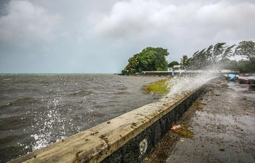
Heavy and widespread rains overwhelmed rivers and drainage systems in the densely populated corridor from Philadelphia to New York and Boston.
That led to major flash floods and at least 64 deaths in the region.
The city of Newark, NJ, recorded 8.41 inches of rain,
the most in a single day, breaking the old record
by more than 1.5 inches.
Weather stations in New York City recorded rainfall rates of more than 3 inches per hour.
The extreme rain came with tornadoes
in several states, including Maryland and New Jersey.
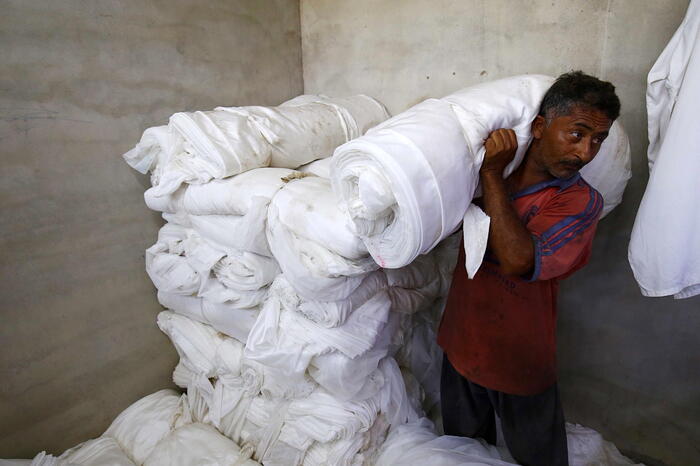
This community was devastated by Ida, the majority are undocumented immigrants and fear to ask for federal aid
Sept.
2, 202101: 53
Warmer weather, heavier rains
Extreme rains and flash floods are not new in the Northeast, and are often the result of hurricanes or their blows.
The remnants of hurricanes Agnes (1972), Floyd (1999), Irene (2011), Lee (2011) and Sandy (2012), among others, caused widespread rains and floods in the area.
However,
heavy downpours are becoming more common in the region
as the weather warms up.
The reasons are quite simple:
warmer air usually contains more water vapor.
With every 1 degree Celsius (1.8 F) rise in temperature, there can be about 7% more moisture in the air.
This is formally known as the Clausius-Clapeyron relationship.
Because the amount of rain a storm produces is closely related to the amount of water vapor in the air, this means that, other things being equal,
torrential rains
are
more likely to occur in a warmer climate.
That explains why heavy rains occur year-round in the tropics, and are much more likely in summer than winter in the United States.
Pedestrians take shelter near Columbus Circle in New York on Wednesday, Sept. 1, 2021, rammed by the debris of Hurricane Ida, which remained powerful along the East Coast.Craig Ruttle / AP
This is also the reason
why the intensity of the rains is expected to increase as the weather warms.
When weather patterns that bring together the makings of heavy rains, such as hurricanes, occur in a warmer world, more moisture is available and more rain falls.
Unfortunately, this is not a linear process - a little added moisture can lead to a lot more rain.
The latest National Climate Assessment, in 2018, outlined a trend toward increasing rainfall in the Northeast and also warned that
the aging infrastructure in the region is unprepared to handle water.
Hurricanes are limited to certain areas, but
extreme rainfall from other types of storms can occur almost anywhere -
think intense cloud storms during the summer monsoon in the southwestern desert, or organized systems of thunderstorms like the which caused deadly flooding in Tennessee in August 2021.
Many communities are already highly vulnerable to the type of extreme rainfall that has been historically observed.
Floods have always been a danger and heavy rains can put infrastructure to the test even in places where this already happens frequently.
But as the climate continues to change, these risks will only increase further.
[Russ Schumacher is Professor of Atmospheric Sciences and Climatologist at Colorado State University]