
The third anniversary of the super typhoon "Mangkhut" in 2018 is approaching. According to the nine-day weather forecast issued by the Observatory this morning (6th), it points out that two tropical depressions (prototypes of tropical cyclones) have formed, and they are located east of the Philippines. In the nearby waters and the Northwest Pacific, the observatory predicts that one will go west and enter the South China Sea and move towards Hainan Island, and the other will go north and move towards the Ryukyu Islands.
The Observatory predicts that the weather will be very different in the next few days. This Thursday and Friday will be mostly fine and very hot. The highest temperature is expected to reach 33 degrees Celsius. It will be affected by tropical cyclones before the beginning of the week. There were strong winds (level 6) between shores, that is, the wind of Typhoon No. 3, and there were still squally thunderstorms early next week.
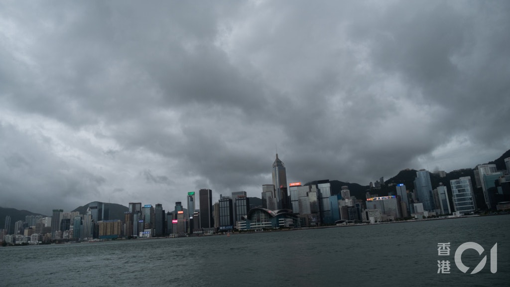
▼See rainbows everywhere on the morning of August 27▼
+16
Anticyclone and high-altitude disturbance will affect Hong Kong's weather successively
Today (6th) the weather in Hong Kong was hot. At 12 noon, the Observatory recorded a maximum temperature of 31 degrees and a relative humidity of 66%. The very hot weather warning is now in effect.
According to the Observatory, the high-altitude anticyclone is bringing generally fine weather to southern China, but the high-altitude disturbance will bring showers to the coast of Guangdong tomorrow. The high-altitude anticyclone will cover southern China in the next two or three days. It will be generally cloudy with a few showers tomorrow. There were thunderstorms in some areas, with temperatures ranging from 26 to 31 degrees.
The tropical cyclone moving into the South China Sea is expected to be closest to Hong Kong on Saturday
At present, there are also two tropical depressions located in the waters east of the Philippines and the Northwest Pacific Ocean. The Observatory said that at 12 noon, the tropical depressions in the waters east of the Philippines gathered about 790 kilometers east-southeast of Mani. It is expected to move to the northwest at a speed of about 15 kilometers per hour. The Observatory predicts that the tropical cyclone will enter the South China Sea in the middle and late part of this week and will move roughly towards the coast of Guangdong to Hainan Island.
According to ECMWF, the tropical depression will be the closest to Hong Kong on Saturday morning.
The other moves north-northwest to the Ryukyu Islands
Another tropical depression in the Northwest Pacific gathers about 460 kilometers north of Yap Island. It is expected to move north-northwest at a speed of about 15 kilometers per hour, roughly moving toward the Ryukyu Islands.
According to ECMWG and U.S. Global Forecast System (GFS) predictions, the tropical depression is moving towards Taiwan and the Ryukyu Islands, and may not be close to Hong Kong.
Due to the proximity of two tropical cyclones, the Observatory expects more showers and stronger winds during the weekend. It is expected that the weather will deteriorate from the weekend to early next week, with showers and a few squally thunderstorms.
(Screenshot of Observatory)
▼9.2 Ocean Park Open Water Park Indoor and Outdoor Play Facilities▼
+25
Weather and traffic | The high-altitude anti-cyclone continues to be very hot today with thunderstorms, the highest temperature is 33 degrees on Tuesday, "White Dew" is still light in autumn. The Observatory expects showers and thunderstorms. Weather and traffic will come again on Thursday. The hot weather warning is now in effect. Weather and traffic|The shower lasts until the weekend. The highest temperature today is about 30 degrees. The weather on the school day ︱ There may be showers and thunderstorms in the morning of September 1st, and more time should be reserved for going out.
01News