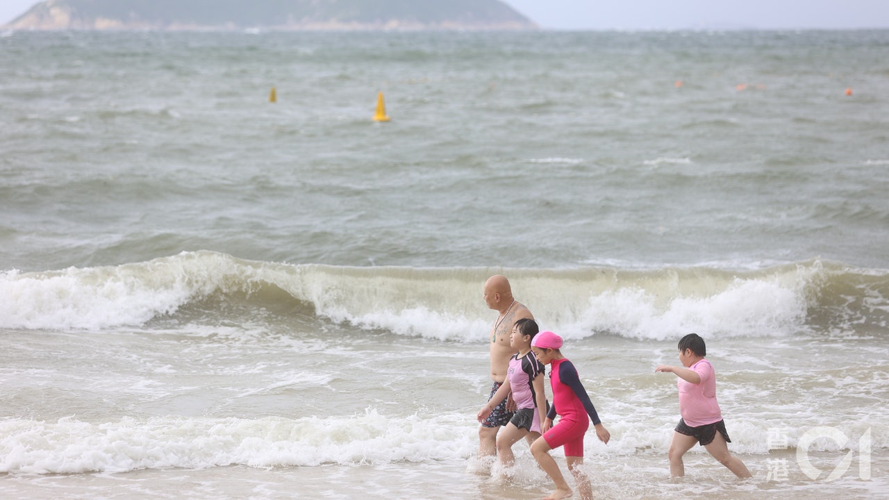
Stepping into September, we ushered in double tropical cyclones.
The tropical depression in the sea east of the Philippines intensified into a tropical storm this (6th) afternoon and was named "Conson".
The Observatory predicts that Conson will enter the South China Sea in the middle of this week and move roughly to the coast of Guangdong to Hainan Island. According to the current forecast path, Conson will be closest to Hong Kong on Saturday (11th), gathering about 500 kilometers to the southwest.
Another tropical cyclone in the northwestern Pacific Ocean will generally move towards the Ryukyu Islands, and its intensity will be higher. It will be upgraded to typhoon level on Saturday and it is expected that it will not enter the 800-kilometer range of Hong Kong.
The Observatory predicts that Hong Kong will usher in a few squally thunderstorm weekends.
The Observatory predicts that Conson will hit the east and west coasts of Guangzhou to Hainan Island
At 4 pm, Tropical Storm Conson gathered about 710 kilometers east-southeast of Manila, the Philippines, and is expected to move northwestward at a speed of about 15 kilometers per hour towards Luzon Island.
According to the path predicted by the Hong Kong Observatory, Conson will move to Luzon in the next two or three days and enter the South China Sea in the middle to late this week. During the landing, it weakened into a tropical depression, but when it further entered the 800 km range of Hong Kong, it would again. Intensified into a tropical storm.
The Observatory expects Kangsen to pass about 500 kilometers southwest of Hong Kong on Saturday, moving towards the coast of western Guangdong to Hainan Island.
With reference to the Mainland Central Meteorological Observatory, Conson upgraded to a severe tropical storm on Friday (10th).
The European Center for Medium-Range Weather Forecast (ECMWF) predicts that after Conson crossed Hainan Island, the intensity did not weaken, and the lowest pressure at the center of the sea level next week was 968hPa, which is a typhoon.
The Global Forecast System (GFS) of the United States predicts that "Conson" is relatively low in intensity, up to tropical storm intensity, and then passed over Sanya City and gradually weakened after landing.
▼ECMWF predicts the moving path of tropical storm Conson▼
+2
▼GFS predicts the moving path of tropical storm Conson▼
+2
Another tropical cyclone is expected to be upgraded to a typhoon
In addition, an unnamed tropical depression in the Northwest Pacific gathers about 550 kilometers north of Yap Island, and is expected to move northwest at a speed of about 15 kilometers per hour, roughly toward the Ryukyu Islands.
The Hong Kong Observatory predicts that the tropical depression will escalate into a tropical storm on Wednesday (8th), a severe tropical storm the next day, and a typhoon on Saturday. It is expected to gather at a location about 900 kilometers northeast of Hong Kong that day, and it did not enter the 800 kilometers warning zone. .
ECMWF predicts that the minimum pressure at the center of the sea level of the tropical cyclone on Sunday will be 952hPa, which is a strong typhoon, and then it will weaken after making landfall in Taipei City.
(Screenshot of the Observatory website)
Great wind and thunderstorm next Sunday and Monday
The two tropical cyclones are approaching. The Observatory expects that the weather in Hong Kong will be generally fine and very hot on Thursday and Friday. However, there will be thunderstorms in some areas later on Friday, and showers will increase later on Saturday. In terms of the degree of the ball, next Sunday (12th) will usher in a few squally thunderstorms, and there will still be a few squally thunderstorms at the beginning of next Monday (13th). People should pay attention to the weather conditions when going out.
▼7.19 Tropical Storm Chapaka hits Shek O, there are still citizens swimming ▼
+8
▼On July 20, the Observatory issued the No. 3 strong wind signal and the yellow rainstorm warning signal▼
+9
Super Typhoon Mangkhut Flooded Substation The Hongkong Electric 5 Defence Line Prevents Wind Disaster Caused Power Outage The Observatory has launched a tropical cyclone e-book to compare different strong typhoons. Store residents calmly dealt with the removal of the super typhoon "Mangosteen" and the Thai fruit "Santuoer" fills up seats
01News

