
Tropical Cyclone Compasses entered the 800-kilometer warning zone of Hong Kong in the early morning of today (12th) with a severe tropical storm magnitude. The Observatory immediately issued a strong wind signal No. 3 at 0:40 to replace the strong monsoon signal. After the mountain, it skipped Typhoon Signal No. 1 for the second time and went straight to Typhoon Signal No. 3. The observatory said it would be maintained this morning.
The Observatory said that the outer rainbands of the compasses will begin to affect the coast of Guangdong later in the day. The weather in Hong Kong will deteriorate significantly with heavy rain and squally winds. Storm surges and heavy rain caused by the compasses may flood low-lying areas. The public should be reminded to protect against wind and waterproofing. Flooding measures; there are large waves and swells on the sea, urging the public to stay away from the shore and stop all water activities.
The organization of Severe Tropical Storm Compasses is still relatively loose.
(NOAA picture)
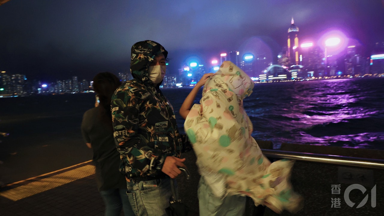
▼October 11th, the weather was fine on the eve of the tropical cyclone Compasses hitting Hong Kong▼
+1
Occasionally strong winds blowing offshore and on high ground
Kompasu is the name given by Japan, that is, the constellation compass seat Compass.
The Observatory stated that at 2 o'clock in the morning, the compasses gathered about 750 kilometers east-southeast of Hong Kong. They are expected to move westward at a speed of about 25 kilometers per hour and cross the northern part of the South China Sea.
Under the combined influence of the compass and the northeast monsoon, strong winds are generally blowing in southern China, and gales are blowing occasionally offshore and on high ground. Typhoon signal No. 3 will be maintained this morning.
In the past hour, Tate’s Cairn, Waglan Island and Sha Chau recorded the highest sustained wind speeds of 67, 67 and 64 kilometers per hour respectively, which are classified as wind levels, with the highest gusts of 81, 82 and 67 kilometers per hour respectively.
As for the eight reference wind measurement stations covering Hong Kong and close to sea level used to refer to whether the No. 8 typhoon signal is issued, there is only strong wind at Cheung Chau for the time being, with the highest sustained wind speed of 47 kilometers per hour and the highest gust of 71 kilometers.
The Observatory predicts that compasses will pass by a typhoon within 400 kilometers south of Hong Kong late tonight.
(Photo of the Observatory)
▼On October 9th, tropical cyclone Lion Rock No. 8 Typhoon Mong Kok was deserted on weekend ▼
+11
At 2 o'clock in the morning, the highest continuous wind speed near the center of the compass reached 90 kilometers per hour, which is predicted to move westward to Hainan Island all the way.
The Observatory's Compasses will intensify to a typhoon near midnight tonight. The highest continuous wind speed near the center will reach 120 kilometers per hour, passing within 400 kilometers south of Hong Kong, and will be the closest to Hong Kong at the beginning of tomorrow (13th).
The compass comes and goes fast. According to the path map, it will arrive at the western end of Hainan Island late at night tomorrow night.
The Observatory expects winds of magnitude 5 to 6 (fresh to strong winds) from the north to northeast today, and 8 (gales) between offshore and highlands. The winds will increase later.
The weather was fine and dry at first, then gradually cloudy, and then there were squally showers.
There are big waves and swells in the sea.
Tomorrow will blow east to northeast winds of magnitude 6 to 7 (strong wind level), at first there will be a chance of level 8, offshore and highland level 9 (strong wind level), cloudy with squally heavy showers and thunderstorms, and there will be big waves and swells in the sea.
As for the airport, which is one of the reference wind measurement stations for the "Eight Middle and Four", the weather forecast shows that by 8 hours tonight, 35 nautical miles east to northeast wind (70 kilometers in real time), gusts of 50 nautical miles (92.6 kilometers in real time) ).
▼Tropical Storm Lion Rock hit Hong Kong on October 9.
Market conditions under Typhoon Signal No. 8▼
+8
Compasses typhoon | Supermarkets in various districts have sold out vegetables and bread. Netizens: It seems that fighting is more than hitting the typhoon Compass typhoon signal can be determined by the weather according to the weather. The typhoon signal No. 3 will be issued directly at the Lion Rock Observatory tonight or the No. 8 compass typhoon signal will be issued on Wednesday or No. 8 typhoon signal. Typhoon Compasses ︱ Wind blows again before Chongyang. The weather worsens on Tuesday night and the monsoon becomes wind again. The key "Compass" approaches the Observatory tonight and announces the warning of tropical cyclone, which is a force 9 wind on offshore highlands on Wednesday.
01News