December is about to enter, but Hong Kong has not seen any chills in recent days.
However, the Observatory forecasts that due to a strong northeast monsoon, the weather in the south China coast will be quite cool in the morning and the temperature difference between day and night will be large in the next two or three days.
The temperature in the urban area is expected to drop from a maximum of 25 degrees Celsius in the daytime today (30th) to 17 degrees after nightfall.
Tomorrow (December 1) the morning will further drop to 15 degrees, that is, the temperature difference between the two days will reach 10 degrees.
The Observatory also predicted that Thursday (December 2) morning is quite cool, the temperature in the urban area is as low as 13 degrees, and Ta Kwu Ling is more likely to drop to 7 degrees, reaching severe cold.
The monsoon is expected to continue to affect the coast of Guangdong from the weekend to the beginning of next week, and the area will still be cool in the morning.
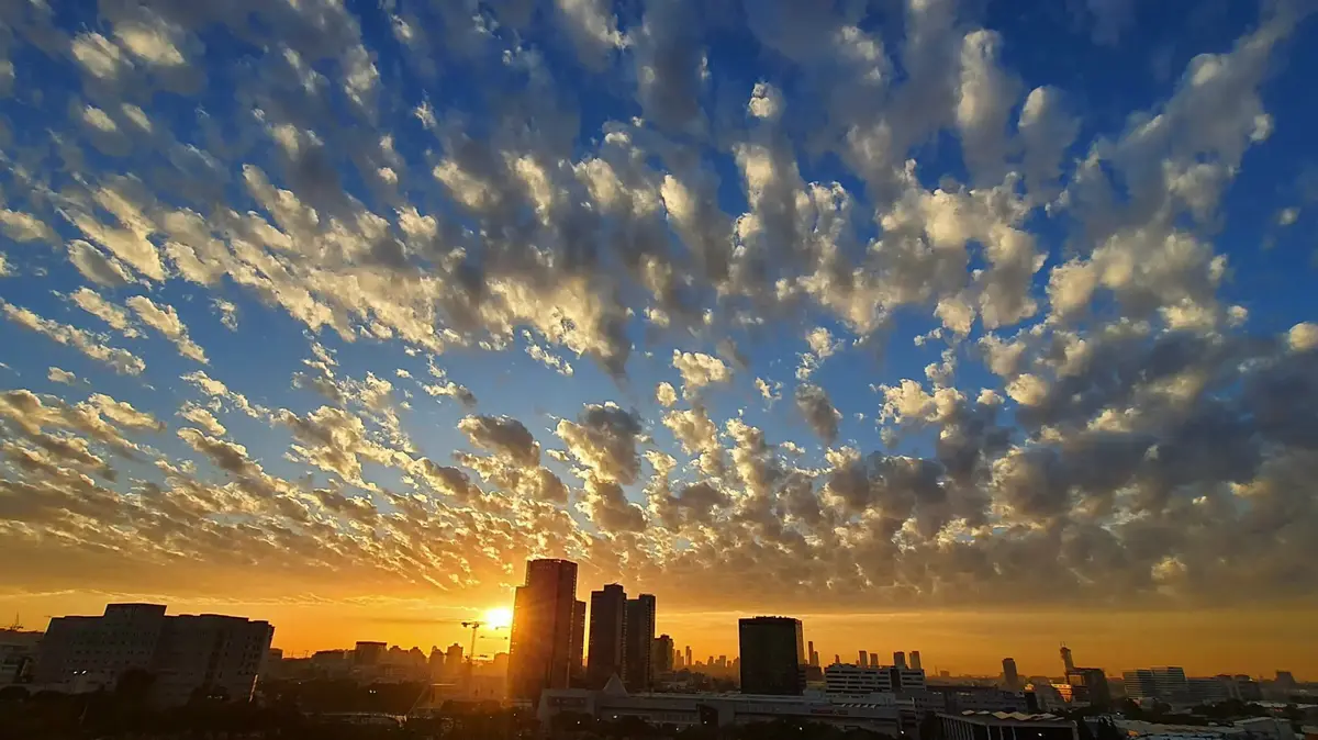
▼On November 23, the observatory recorded the lowest temperature since the beginning of autumn▼
+1
According to the Observatory, a strong northeast monsoon is affecting the coastal areas of South China, and a strong monsoon signal "Black Ball" was issued at 9 am today. It is expected that Hong Kong will blow strong northerly winds with an average wind speed of over 40 kilometers per hour, with intermittent wind gusts. Degree of gale.
Looking forward, it will be fine and dry today, and it will turn cooler tonight.
Blowing moderately to fresh northerly winds, strong winds blowing offshore and on high ground.
The Observatory’s automatic regional weather forecast indicated that the temperature in general areas of Hong Kong dropped to 17 degrees or below at 10 pm tonight.
(Screenshot of the Observatory's website)
The temperature difference between the two days is 10 degrees, and the lowest 15 degrees in the urban area tomorrow morning
According to the nine-day weather forecast, tomorrow will be fine, morning and evening will be cool, and the day will be very dry, with a minimum relative humidity of 35%.
The temperature ranges from 15 to 20 degrees. It is expected to drop from a maximum of 25 degrees in the daytime today to 15 degrees in the morning tomorrow, and a sharp drop of 10 degrees overnight. People should keep warm.
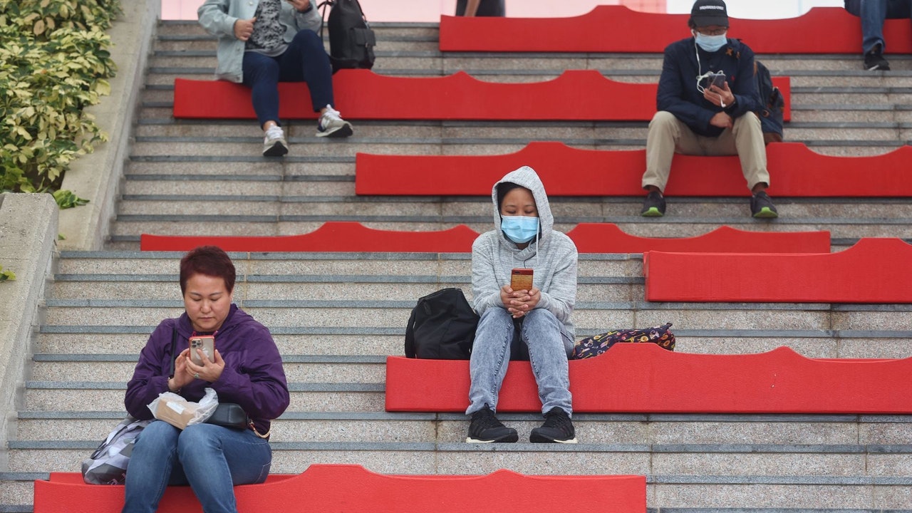
▼On November 21st, citizens will enjoy the red leaves of Taitang ▼
+3
The heating temperature will not rise to 16 to 21 degrees until Saturday at the earliest
The Observatory also predicted that the temperature will drop sharply on Thursday (December 2). The urban area will be between 13 and 20 degrees, which is expected to hit a new low after the autumn of this year. In the New Territories, many areas including Sha Tin and Tai Po may see a low of 10 degrees. It is cold; Taguling has a chance to drop to 7 degrees.
It is expected that the weather in Hong Kong will not pick up until Saturday (December 4) at the earliest. It is expected that the weather will be sunny and dry for 6 consecutive days, and the morning will be cool.
The temperature rose back to between 16 and 21 degrees on Saturday, and further rose to between 17 and 24 degrees next Tuesday (December 7).
Tropical storm "Niyatu" is expected to have no impact on Hong Kong
In addition, the Observatory expects that the tropical storm "Niyatu" in the Northwest Pacific will traverse the waters east of the Philippines in the next two or three days.
At 12:00 noon today, Niyatu gathered about 350 kilometers north of Yap Island. It is expected to move west-northwest at a speed of about 18 kilometers per hour, crossing the waters east of the Philippines. It is expected to have no impact on Hong Kong.
The Observatory expects that the tropical storm "Niyatu" in the Northwest Pacific will traverse the waters east of the Philippines in the next two or three days.
(Screenshot of the Observatory's website)
▼The 20-meter-high giant Christmas tree in the West Kowloon Cultural District is lit ▼
+2
This winter is not too cold. The Observatory expects two factors to bring a warm winter and La Niña will not help to cool down the northeast monsoon. The observatory expects 12.2 The urban area will drop to 13 degrees in the New Territories. Some districts have reached cold level for 4 consecutive times from Wednesday. Hong Kong has experienced extremely rainy October. The normal value is 5 times the normal value. The serial No. 8 typhoon hits Hong Kong and breaks multiple records.