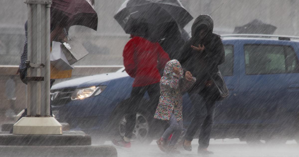
Winter disturbances continue to follow one another this week in France.
After the north and north-west of the country which found themselves on the outskirts of storm Barra, the south-west and the Pyrenees range from this Wednesday onwards an episode of heavy rainfall which will last several days.
These storms are occurring after the region has already experienced significant snowfall and rains recently.
Some of the soils and rivers are already saturated and unable to absorb large quantities.
Keraunos, the French observatory for tornadoes and severe thunderstorms, summarizes the situation, with a map.
By Friday, up to 200 mm of precipitation is expected in places, the equivalent of 200 liters per square meter.
The rain-snow limit will oscillate according to temperature variations.
This mixture of rain and snow at certain altitudes will facilitate the triggering of avalanches.
Lots of rain in the southwest, especially near the # Pyrenees by Friday, with sometimes nearly 200 mm in the west of the chain.
Fluctuations in the rain-snow limit with a confirmed risk of avalanches and floods.
pic.twitter.com/uIyCkPiuhv
- Keraunos (@KeraunosObs) December 7, 2021
The cumulative rainfall will be favorable to flooding.
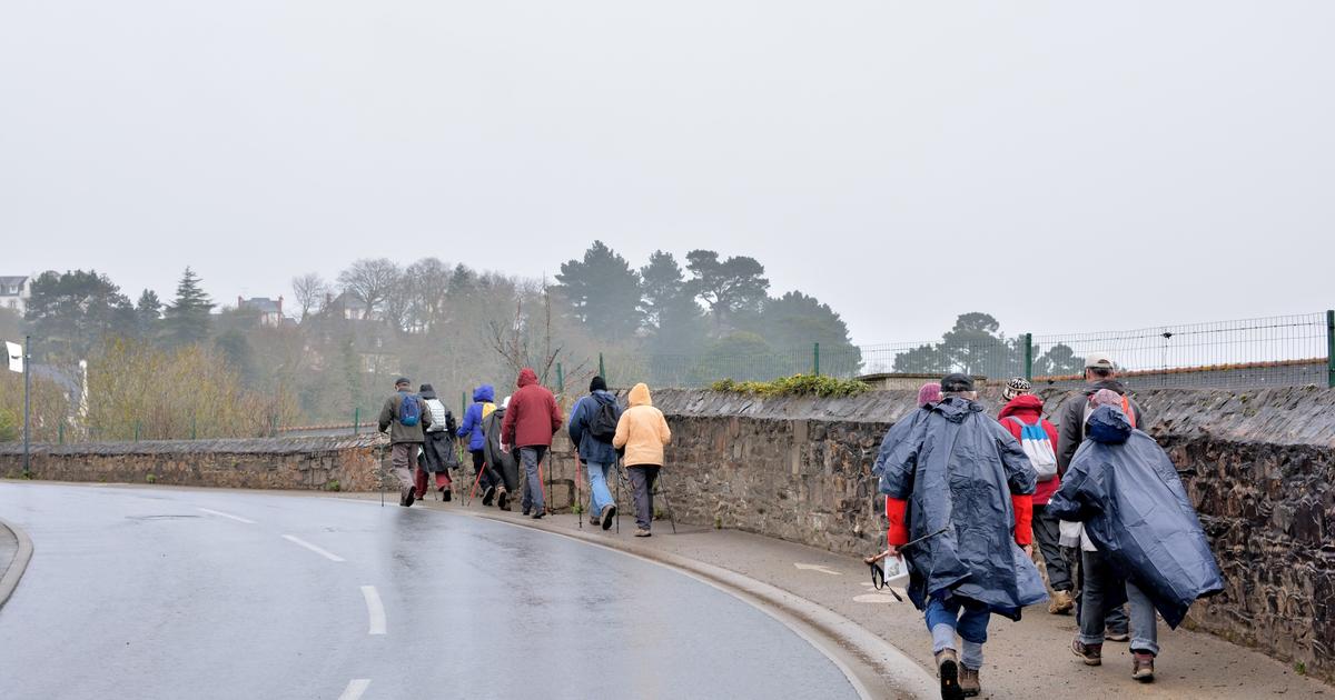
Pyrénées-Atlantiques and Hautes-Pyrénées will be the most affected areas.
Météo France specifies that, “Thursday, strong accumulations are expected in the Pyrenees, in particular in the Pyrénées-Atlantiques and the Hautes-Pyrénées.
Below 1700-1800 meters, this precipitation most often occurs in the form of rains.
On Friday, this risk of heavy rainfall persists in the Pyrenees and even extends to the south of the Tarn ”.
“Extraordinary” accumulations for a month of December
The meteorological body adds that the snow at low altitude in the Pyrenean massif is likely to have consequences "on the road network".
“The Pyrenees could well recover more than a meter of snow.
The snow depths, greater than 2 m on the ground, would then become really extraordinary over a good part of the range for the first half of December.
The avalanche risk is already set to be particularly high.
"
Vigicrues, the body in charge of monitoring water levels, anticipates that certain rivers in the region should react.
“Price increases in the southwest sector will continue.
Localized overflows are expected, ”he said.
These floods are also expected to disrupt the road network.
Beyond the Pyrenees, it is all the mountain ranges that are experiencing significant snowfall this week in France.
These maps from the Météo-ville website show the cumulative figures expected for the single day of this Wednesday in part of the Alpine and Pyrenean massifs.
❄️⛷️☃️🏔️New abundant snowfalls expected tomorrow Wednesday over the West of the # Pyrenees and the North of the #Alpes (high risk of # avalanches) pic.twitter.com/dPg4C8SKMb
- Guillaume Séchet (@Meteovilles) December 7, 2021
Météo France speaks of a "massive influx of snow in the Southern Alps".
In the Northern Alps, it is a question of "large quantity" of snow.
Finally, on the night of Thursday to Friday a brief snowy episode is likely to affect the Grand Est region.
This will primarily concern plateaus and massifs.
But the flakes could also reach the plain.
Temperatures should not make it easier to hold on to the ground.