Eritrea: history, politics, population and geography
Created: 12/18/2021, 4:55 PM
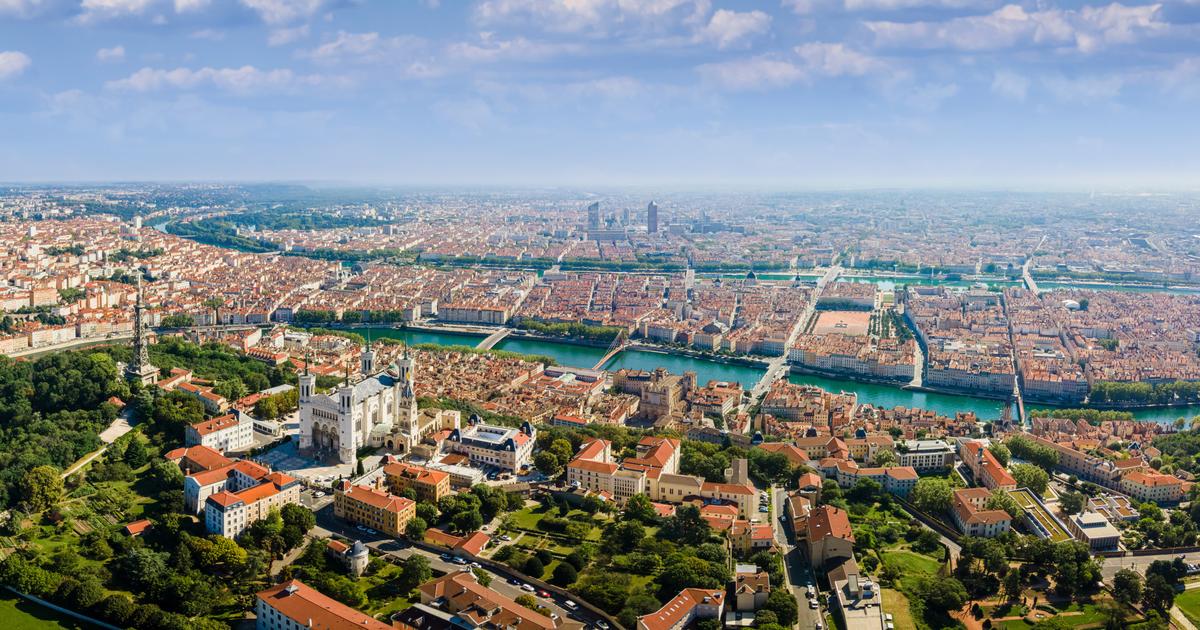
Street with market in the shopping area of Asmara, Eritrea © Jack Malipan / IMAGO
Eritrea is one of the poorest countries in the world.
Despite a relatively well-developed infrastructure, on average every second inhabitant lives below the poverty line.
The reasons for this lie primarily in the history and politics of the country.
Asmara - Eritrea is one of the poorest countries in the world.
Every second inhabitant there now lives below the poverty line.
The main reasons are the high unemployment rate, human rights violations and poor educational opportunities.
Eritrea: Information on the geography and climate of the state
Eritrea is a state in North Africa.
It borders the Red Sea in the northeast and the neighboring states of Sudan (northwest), Ethiopia (south) and Djibouti (southeast).
The name of the country goes back to the Greek name "erythrà thálassa", which means something like "Red Sea".
Eritrea has an area of 117,600 square kilometers, which is about a third the size of the Federal Republic of Germany.
The country consists mainly of the hot dry savannah by the sea and the rainy highlands in the north.
The highest mountain in Eritrea is Degra at 3,047 meters.
The longest river in the country is the Barka with a good 500 kilometers.
It is a seasonal river that only reaches its mouth in the Red Sea during the rainy season in summer.
Another peculiarity of the geography of Eritrea are the deserts.
The foothills of the eastern Sahara are located between the Gash and Barka rivers.
Then there is the Danakil Desert on the border with Djibouti.
It is considered to be one of the hottest, driest places in the world.
The largest cities in the state are (as of 2012):
Asmara (capital): 665 inhabitants
Assab: 99,000 inhabitants
Keren: 80,000 inhabitants
Massaua: 52,000 inhabitants
Mendefera: 25,000 inhabitants
Barentu: 19,000 inhabitants
State of Eritrea: Interesting facts about demography
Around 5.1 million people live in Eritrea (as of 2017).
This demography results in a population density of around 43 inhabitants per square kilometer.
The state consists mainly of nine major ethnic groups.
The most important of these are:
Biher-Tigrinya (57 percent)
Tigre (28 percent)
Saho (4 percent)
Fern (3 percent)
Kunama (3 percent)
Bilen (2 percent)
Rashaida (2 percent)
The rest is divided between various minorities and fringe groups.
The languages of these nine major ethnic groups are all formal national languages with equal rights.
There is no official language, in everyday life the residents mostly use Tigrinya or Arabic as well as English.
Eritrea promotes the national languages in the schools of the ethnic groups.
There are also radio stations with the respective language culture.
With regard to religion, Muslims and Christians form an equal majority with around 50 percent each.
The majority of the population live in the lowlands and along the coast.
Most of the Christians live in the highlands.
Eritrea: important cornerstones of history
Today's Eritrea has belonged to the Aksumite Empire since the 1st century.
When the Turks invaded in the 16th century, the country became part of the Ottoman Empire for around 300 years.
After that, the history of the country recorded the following milestones:
In 1890 the country became an Italian colony under the name Colonia Eritrea.
In 1936 the Italians incorporated Eritrea into Italian East Africa, adding large areas of northern Ethiopia.
In 1941 the area came under British military administration.
In the early 1950s, Eritrea became an autonomous province of Ethiopia by resolution of the United Nations.
In 1962, Ethiopia revoked its autonomous status, which aroused great opposition from the population of Eritrea.
In the early 1960s, independence movements formed that led to a 30-year war of independence.
In 1991 the war ended with the victory of the Eritrean People's Liberation Front (EPLF).
On May 24, 1993, the independent state of Eritrea was founded.
In 1998 a border war broke out with Ethiopia, which ended with a ceasefire.
Relations between Eritrea and neighboring Ethiopia are still strained today.
However, diplomatic relations and a peace treaty have been in place again since 2018.
Eritrea: The politics of the state
The state of Eritrea has had a transitional government since the end of the war of independence in 1991, which is still being established.
The Eritrean People's Liberation Front (EPLF) assumed provisional power in the early 1990s.
Since then, the independence movement's patriotic slogan “Awet-n-Hafash!” (In German: Victory for the masses!) Has been Eritrea's official motto.
Among other things, the EPLF drafted a constitution and promised free elections.
Neither has yet been implemented.
The transitional government in the state currently consists of the President Isayas Afewerki and a cabinet with 24 members.
According to the constitution, the office of president should be redefined every five years through elections.
But since the constitution never came into force, Isayas Afewerki has ruled continuously since the declaration of independence in 1993.
Furthermore, there is a transitional parliament in Eritrea that only meets on the orders of the President.
However, these 150 MPs have not met since 2001.
There is only one political party in the country, the “Popular Front for Democracy and Justice”.
This makes Eritrea the only country in Africa in which the one-party system is still practiced.
State of Eritrea: Insight into the economy
Since the Eritrean government does not publish any economic data, information on growth and debt can only be estimated.
A gross domestic product of around 2.1 billion US dollars is assumed for 2020.
In contrast, the estimated national debt in the same year was around 185 percent of GDP.
Since the war with Ethiopia from 1998 to 2000, Eritrea has been very isolated internationally.
As a result, the African state has hardly seen any increase in per capita income.
Agriculture is one of the most important branches of the economy with a good 75 percent.
Mainly cotton, rice and maize are grown.
Due to droughts and wrong decisions by the transitional government, there were repeated crop failures, food shortages and famine.
Other economic pillars are mining and industry.
Natural resources such as gold, silver, copper, nickel, marble and salt are some of the country's most important export goods.
The industry is mainly divided into textile and food production as well as cement production.
In addition, a large number of furniture and spare parts manufacturers are based in Eritrea.
Tourism plays a subordinate role in this African country.
A good 80 percent of the visitors counted annually were so far from abroad visiting their home country.
Peculiarities of the economy
Another important source of income for the government of Eritrea is the so-called development tax. This tax of two percent of their gross income must be paid by all Eritreans who have their place of residence outside the state.
It is irrelevant whether you have taken on another citizenship in the meantime.
Those who do not pay run the risk of reprisals against relatives who are still living in the country and face considerable restrictions.
For example, the state then refuses to issue official documents or accept inheritance.
Eritrea: The infrastructure of the state
Basically, Eritrea is one of the African countries with a relatively well-developed network of roads and paths.
However, the traffic routes have not been maintained since the colonial times.
Large parts were also destroyed in the war with Ethiopia.
Today only a fraction of the original infrastructure has been preserved.
In addition, most of the roads are simple gravel roads.
The situation is similar with the railway network.
At the moment there is only one functioning railway line between Massaua and the capital.
It is served by a steam locomotive with individual wagons.
There are a total of nine large and larger ports on the Red Sea.
The two in Massaua and Assab are deep-water ports where container ships can dock.
A third one in Tiyo is still under construction.
The state has airports at 13 locations.
From the cities of Asmara, Massaua, Tesseney, Assab and Sawa there are mainly flight connections to Dubai, Cairo and Istanbul.