Severe tropical storm Rey is approaching gradually. This morning (20th) it has entered 800 kilometers of Hong Kong. The Observatory issued a special weather alert. The notice will issue a tropical cyclone warning signal before noon today, and officially issue No. 1 at 11:20 am The alert signal was the second wind blow in December after Typhoon Emma in 1974, and it broke Hong Kong’s record of issuing tropical cyclone warnings at the latest in a year.
Passing by about 200 kilometers from Hong Kong on Tuesday
At 10 o'clock in the morning, Rey gathered about 170 kilometers west-northwest of Xisha and is expected to move north-northeast at a speed of about 22 kilometers per hour, crossing the middle of the South China Sea and gradually weakening.
According to the predicted path at 10 am, Rey will break into a 400-kilometer range at the winter solstice tomorrow morning (21st) and be downgraded to a tropical depression, passing about 200 kilometers away from Hong Kong, and weakening into a low-pressure area the next day.
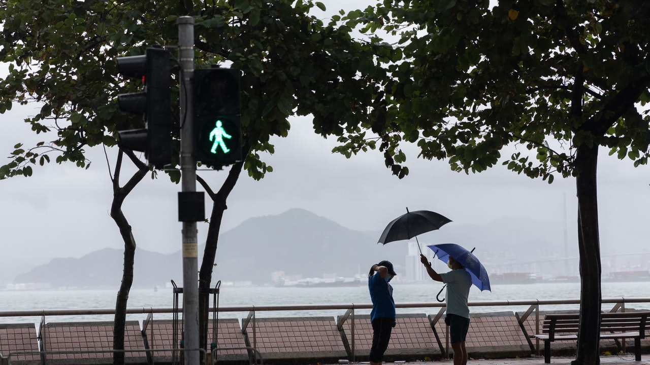
As the northeast monsoon is bringing cool weather to South China, and the rainbands associated with Rey are affecting the northern part of the South China Sea and the coastal areas of South China, the Observatory expects cloudy weather and occasional rain today. Later, the rain will be more frequent and the northeast will be cleared. Wind, strong winds blowing offshore and on high ground occasionally.
The Macau Geophysical and Meteorological Bureau has issued Typhoon Signal No. 1, and the blue storm surge warning is still in effect.
According to the authorities, Rey has weakened into a severe tropical storm and gradually turned to the northeast. It is expected that it will pass within about 200 kilometers south of Macau tomorrow.
The related rainbands will affect Macau from today to tomorrow, and the rain is more frequent and lasts longer.
Macau's wind will increase in the evening, consider whether to change the No. 3 typhoon signal
Although the intensity of Rey will be weakened, the wind will increase as it is closer to Macau, occasionally reaching level 6 and gusts. The bureau will consider whether it is necessary to change the No. 3 typhoon signal in the evening. Please pay close attention to the weather. Change and follow the latest storm news.
In addition, due to the astronomical tide, under the influence of the superimposed storm surge, flooding will occur in the inner harbor area today (20th) night. The blue storm surge has been issued. The flooding height is predicted to be less than 0.5 meters. Please take precautions. Flooding measures.
▼The market situation under the typhoon Compass in Hong Kong on October 13▼
+14
▼Typhoon Compasses hit Hong Kong on October 13, many citizens went out or chased the wind▼
+23
Typhoon Rey | The Macau Meteorological Bureau issued Typhoon No. 1 and re-issued No. 3 "medium to high" strong typhoon Rey | Breaking the latest record of wave breaking Underground Observatory: Typhoon No. 1 does not throw Rey's typhoon signal | The observatory forecasts that the typhoon will be in force before noon for 47 years. Strong typhoon Lei will pass by Liang Rongwu within 200 kilometers of Hong Kong during the winter solstice in December for 47 years: the intensity will be affected by the monsoon