Another storm on the way?
Dripping will begin tomorrow, Wednesday and Thursday - rain and thunderstorms
After the "Carmel" storm, forecasts are already popping up for the next storm around the corner, and the big question is only about its intensity.
Later in the week the showers will return after a few clear days.
And how much rain fell in the storm?
Yoav Itiel
27/12/2021
Monday, 27 December 2021, 21:56 Updated: 22:10
Share on Facebook
Share on WhatsApp
Share on Twitter
Share on Email
Share on general
Comments
Comments
In the video: The Hermon site opens for the first time to visitors (Photo: Hermon site)
Despite predictions that the next storm is around the corner, the Meteorological Service is reassuring and recommends being patient until the next system - the big question is only about its intensity.
“At a time like this, predictions are more of a gamble than a science,” they noted.
In the meantime, know how to expect the rains to return in the form of local showers starting this coming Wednesday.
The night will be partly cloudy, with strong easterly winds blowing in the northern mountains.
Tomorrow drips will begin, and the winds will continue to blow.
No significant change in temperatures is expected.
On Wednesday it will be partly cloudy, and local showers are expected mainly along the coastal plain, along with occasional thunderstorms and a slight drop in temperatures.
For the full weather forecast
More on Walla!
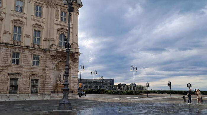
When the "Carmel" storm subsided: Thousands of hikers visited the Hermon site
To the full article
More on the subject
Calypso, Zephyrus and Joel: Since when do storms in the land have a name, and how is it chosen?
The last 7 years have been the hottest in history: "Far-reaching consequences for future generations"
Custom insole - half an hour and you go out into a new life
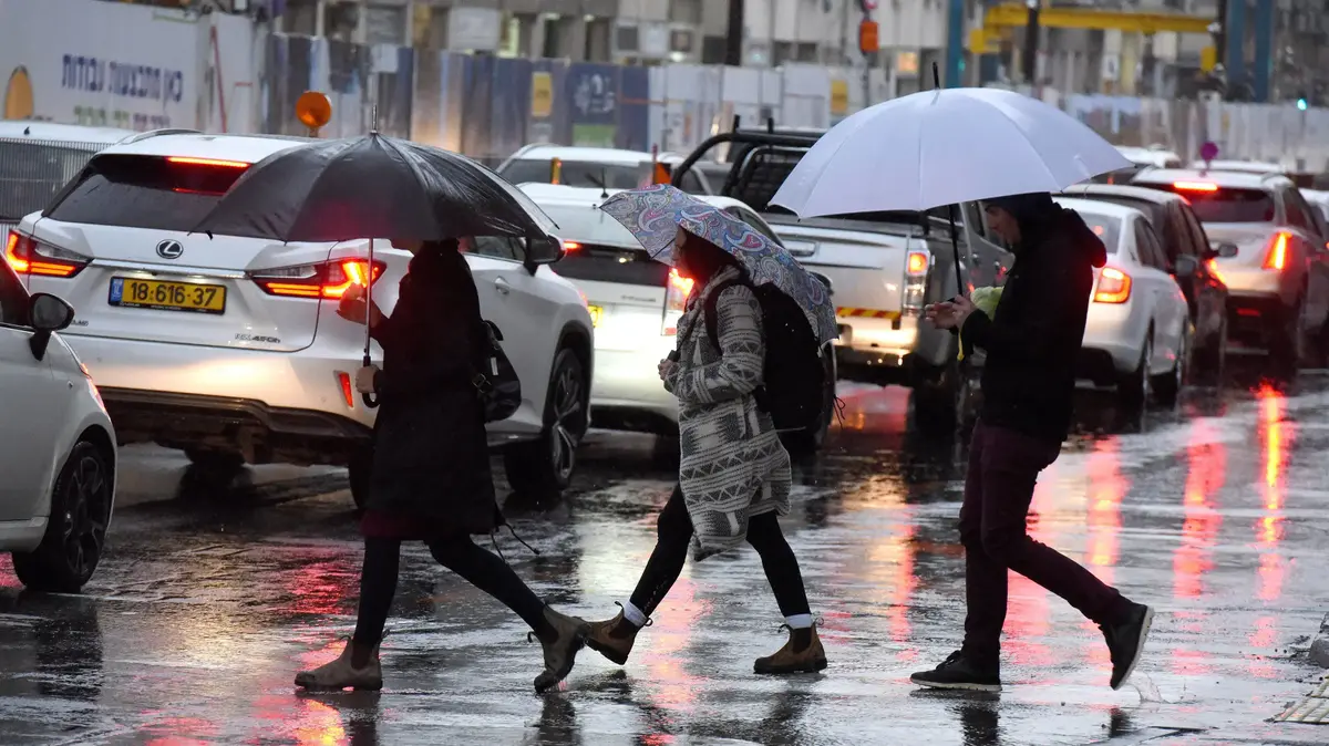
Rain in Tel Aviv (Photo: Reuven Castro)
On Thursday, local rain is expected along the coast in the morning, and from noon - local showers in the mountains.
There will be no significant change in temperatures and it is expected to be partly cloudy.
On Friday the rains and thunderstorms will expand to most parts of the country, and there is a risk of flooding in the southern and eastern streams.
In the northern and central mountains, strong easterly winds will blow.
Expected temperatures for night and tomorrow: in Jerusalem from 7 degrees at night to 13 degrees tomorrow at noon;
In Tel Aviv from 11 degrees tonight to 18 tomorrow;
In Haifa 11 tonight until 17 tomorrow;
Safed 11-8;
Katzrin 17-9;
Tiberias 19-9;
Nazareth 15-9;
Afula 18-7;
Beit She'an 18-7;
Lod 18-10;
Ashdod 18-10;
Ein Gedi 20-15;
Beer Sheva 19-9;
Mitzpe Ramon 13-7;
Eilat 22-11.
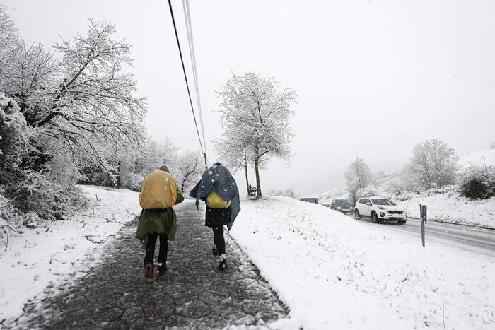
Snow on Mount Hermon (Photo: Official website, Mount Hermon)
According to the Meteorological Service, farmers can be satisfied with the amount of precipitation that fell during the "Carmel" storm. After the large deficit, in the north of the country and in the northern and central coastal plain, the cumulative amounts of rain from the beginning of the season are close to the average for the corresponding period and even exceed it and reach 110% to 120% of the average. This is especially noticeable on the central coastal plain with quantities of more than 150% of the average, while in the Gush Dan area they even reach almost twice the average for the corresponding period and about half and even two-thirds of the average for the entire season. A deficit still exists in the eastern and southern parts of the country. In the southern coastal plain and in the Judean mountains, only about half of the quantity decreased for the corresponding period, and in the northern Negev only about a third.
A report by Dr. Amos Porat, director of climatic services at the Meteorological Service, shows that during the Carmel storm, the first winter system to be named by the countries of the Israel-Greece-Cyprus region, 140 to 170 m fell in the central part of the coastal plain. And in the southern part of Gush Dan (Holon-Rishon Lezion-Ben Gurion Airport) dropped to 170 to 200 mm and even more (Ben Gurion Airport 221 mm, Mikve Israel 213 mm). Very large quantities were also received in the Sharon-Zichron Yaacov-Ramot Menashe-Shomron area, where 100 to 150 mm were measured. In the northern Golan and Upper Galilee, 80 to 120 mm decreased, in the southern Golan, Lower Galilee and in the Jezreel Valley, 60 to 90 mm decreased. In the northern coastal plain, in the southern coastal plain as well as in the Hula Valley and the Sea of Galilee, it decreased by 50 to 80 mm and in the Haifa area by 70 to 90 mm. 30 mm,And in the Negev and the Jordan Valley - a few millimeters.
Rain in Jerusalem (Photo: Flash 90, Olivia Fitoussi)
As a rule, quantities of about 200 mm in a period of three to four rainy days are received almost every year in some area in the north or in the center of the country. (More than 100 years ago at Mikve Israel and more than 80 years at Ben Gurion Airport) there were only 5 other cases in which similar or larger quantities were measured in a rain event, most recently in October 2000.
On December 21, large daily quantities were received and several stations in the area were measured more From 100 mm.
147 mm were measured in Mikve Israel and from the beginning of the measurements at this station there were only two other cases in which similar or higher values of daily quantity were obtained: 199 mm in November 1938 and 148 mm in December 1954.
Also noteworthy are the strong winds that blew.
On Monday, December 20, with the entry of the deep depression, strong southwesterly to westerly winds blew and in many places winds were measured at speeds of 40 to 60 km / h with gusts of 70 to 90 km / h.
The strongest winds were measured in Itamar in Samaria and they reached a maximum speed of 83 km / h and a gust of 110 km / h.
news
News in Israel
Events in Israel
Tags
Weather
forecast