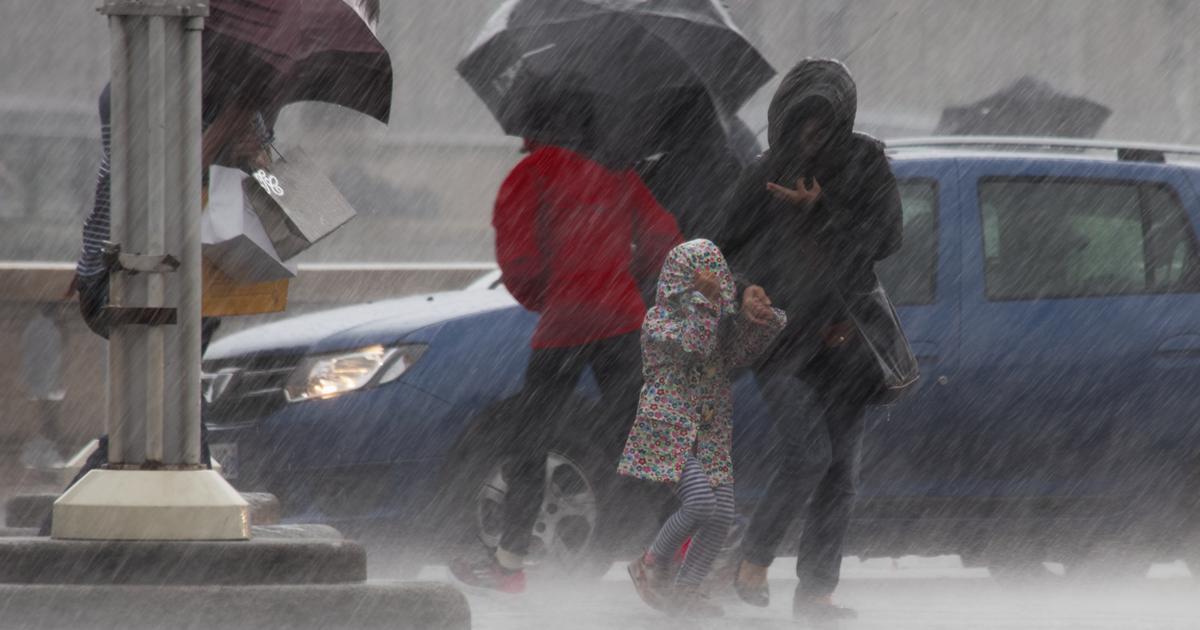
This Wednesday, the weather is marked by the arrival of cold air behind a disturbance crossing France from the start of the day.
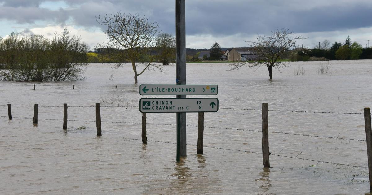
In the North-East, the weather is deteriorating and overflows are possible, explains La Chaîne Météo *, which places eight departments at significant risk of flooding.
The departments concerned are: Aisne, Ardennes, Marne, Haute-Marne, Meurthe-et-Moselle, Meuse, Moselle and Vosges.
In the South, 5 departments are placed at significant risk due to the wind: Aude, Bouches-du-Rhône, Gard, Pyrénées-Orientales and Vaucluse.
Hoar frosts are making a comeback in the countryside from the north to the center and temperatures sometimes drop by ten degrees in 24 hours.
8 departments are on flood alert and 5 on wind alert.
The Weather Channel
Read alsoWhy do we fall ill more often when it's cold?
The weather in your area
From Brittany and Normandy to Pays de la Loire
, the weather clearly improves in the morning with generous sunshine.
Some cloudy periods are expected but the sun is needed in the afternoon.
Temperatures are down sharply with 0 to 5 ° C in the morning and some hoar frosts in the countryside.
In the afternoon, they vary between 7 and 9 ° C.
From Center-Val de Loire and Ile-de-France to Hauts-de-France
, the sun makes a big comeback in the morning. In the afternoon, the sun alternates with cloudy passages which can give very local showers. Temperatures drop to -1 to 3 ° C in the morning and 6 to 8 ° C in the afternoon.
From the Grand Est to Bourgogne-Franche-Comté and Auvergne-Rhône-Alpes
, some snow showers occur from 400 m on the reliefs of the Jura, the Alps and the Massif-Central at the start of the day. A notable rainy episode is expected in the Ardennes and the Vosges, placed on alert due to regular rains which will cause a further rise in the level of the rivers. Temperatures drop to -1 to 4 ° C in the morning and 5 to 8 ° C in the afternoon. The mistral blows in the middle of the Rhône valley, causing a very cold feeling.
In New Aquitaine
, the sun prevails this Wednesday morning except near the Pyrenees where snow showers occur from 500 m on the reliefs. In the afternoon, the weather becomes dry again on the Pyrenean terrain. In the plains, the clouds alternate with beautiful clearings. Temperatures drop to 2 to 6 ° C in the morning and 7 to 11 ° C in the afternoon.
In Occitania, PACA and Corsica
, clouds dominate in the morning over the Pyrenees and Corsica with snow from 500 to 700 m on the Pyrenean terrain and rain in Corsica.
Maximum gusts can reach 100 to 110 km / h in the departments placed on alert by the Weather Channel.
Elsewhere, the sun dominates with a mistral and a tramontane which strengthen around the Gulf of Lion.
In the afternoon, only Corsica is marked by unstable weather with showers.
Elsewhere, the sun prevails but the mistral and the tramontane reach up to 100 km / h in gusts in their area.
Temperatures drop to 5 to 12 ° C in the morning and 8 to 13 ° C in the afternoon.
* The Weather Channel belongs to the Figaro group.