The end of the tunnel.
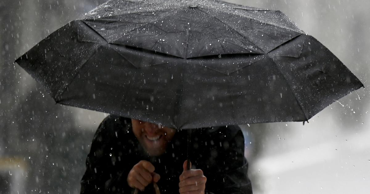
As announced on Monday, when the red vigilance after heavy rains was lifted, Météo France confirmed this Tuesday morning that this important and long episode (more than 48 hours) of bad weather which affected the southwest of the country is coming to its term.
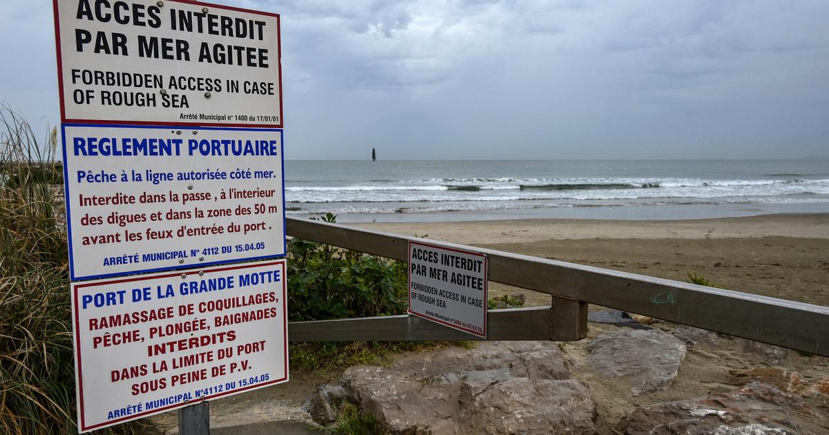
In his 6-hour bulletin, the forecaster still maintains his orange alert for 9 departments in the sector: Landes, Lot-et-Garonne, Tarn-et-Garonne, Gers for a risk of flooding, Hautes- Pyrenees, Haute-Garonne and Pyrénées-Atlantiques for a cumulative risk of floods and avalanches, Ariège, Andorra and Pyrénées-Orientales, finally, only for a risk of avalanches.
🔶 9 deposits and Andorra in #vigilanceOrange
Stay informed on https://t.co/rJ24zzmmy4 pic.twitter.com/poSOyGPdpe
- VigiMeteoFrance (@VigiMeteoFrance) January 11, 2022
The heaviest rains are therefore well past, even if some rivers will still continue to climb slowly throughout the day, warns Météo France.
The fact remains that overall in all of these departments, it is indeed a slow decline that has started.
As announced, the precipitation continued overnight from Monday to Tuesday over the Pyrenees, even with less virulence than in recent days.
Especially, thanks to "a gradual shift of the disturbance towards the west of the chain", this Tuesday morning, it was largely attenuated.
Little damage
For the moment, the consequences of this rainy episode have been limited, even if in the Pyrénées-Atlantiques, school transport was suspended Monday in the Aspe and Ossau valleys, and train traffic was interrupted for the day between Pau, Oloron-Sainte-Marie and Bedous, then between Bayonne and Puyoo, depending on the prefecture.
In Toulouse, where the Garonne came out of its bed, flooding the banks, a university residence located on the Ile du Ramier had to be evacuated in the early evening on Monday. In the Hautes-Pyrénées, the Adour also came out of its bed and the walks on the banks in Tarbes were inundated. Secondary roads around a few villages around Lourdes were under water. The heavy rain that fell on Toulouse also resulted in the postponement of the Toulouse-Nancy football match counting for the 20th day of Ligue 2, announced the Toulouse club.
720 # students are evacuated this evening from the Daniel Faucher university residence, on the island of Ramier.
They are supported by the city of #Toulouse.
120 of them will sleep tonight in a city gymnasium.
We are by their side.
#Garonne #Toulouse pic.twitter.com/lwK6wsjVCm
- Jonnhy Dunal (@dunaljonnhy) January 10, 2022
Regarding the avalanche risks, Météo France explains that in the east, for the Capcir, Haute-Ariège, Orlu and Couserans massifs, a high risk (level 4) remains above 2000 to 2200m.
In the West, on the massifs of Luchonnais, Aure-Louron, Haute-Bigorre, Aspe-Ossau, Basque Country, the high risk (level 4) is rapidly evolving this Tuesday into marked risk (level 3).