The climax is still ahead of us:
the cold and turbulent "Alfis" system that moved from the Mediterranean basin to Israel and visits our region - continues.
The evening and night will be rainy and stormy, from the north of the country to the Negev.
There is a risk of floods and flooding in the festival places, snow will fall in all mountains of Israel over 600 meters, including Jerusalem (which is expected to end by the next morning) and there may be significant accumulation, there may also be light snow in the Negev.
The wind in the Mediterranean will be southwest to west 30-50 km / h and there may be gusts up to 90 km / h.
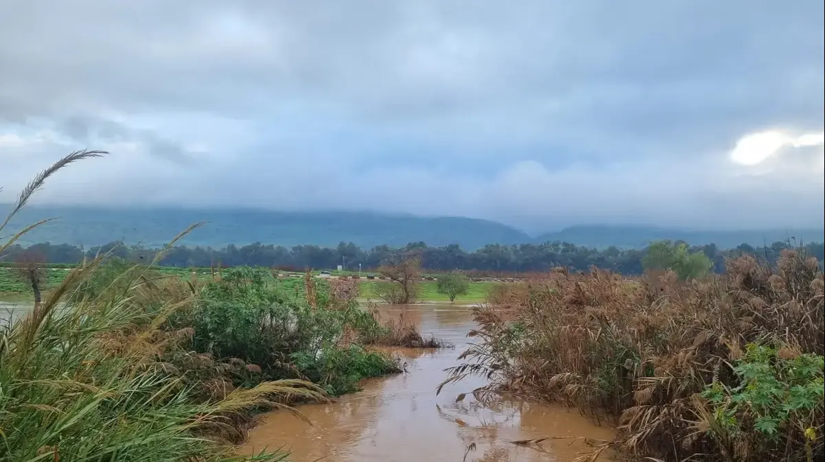
The Mediterranean will also be stormy 300-500 cm
Forecasted temperatures for tonight and tomorrow: Kiryat Shmona 11-4 Katzrin 7-2, Safed 4-0, Tiberias 13-6, Nazareth 6-2, Haifa 12-6, Tel Aviv 13-7, Jerusalem 4-0 Ashkelon 13- 7, Ein Gedi 18-12, Beer Sheva 10-5, Arad 9-3, Mitzpe Ramon 8-2, Eilat 17-8 degrees.
Rainy and stormy weather, Photo: Yehoshua Yosef
According to Meteo Tech, 10-20 cm of snow is expected to pile up in Jerusalem; and in the northern Golan Heights (from an altitude of 1000 meters, including the surrounding communities) about 40-50 cm of snow is expected to pile up tomorrow morning until Thursday afternoon.
Tomorrow morning it will be rainy and windy from the north to the Negev, in snowy mountains.
During the morning, the snow in the mountains will be replaced by rain, except on Mount Hermon, the northern Golan Heights and Mount Meron.
There is a risk of flooding and flooding in streams.
The wind in the Mediterranean will be westerly to northwest 20-40 km / h, gusts of up to 55 km / h are possible.
The Mediterranean Sea will be stormy 300-500 cm.
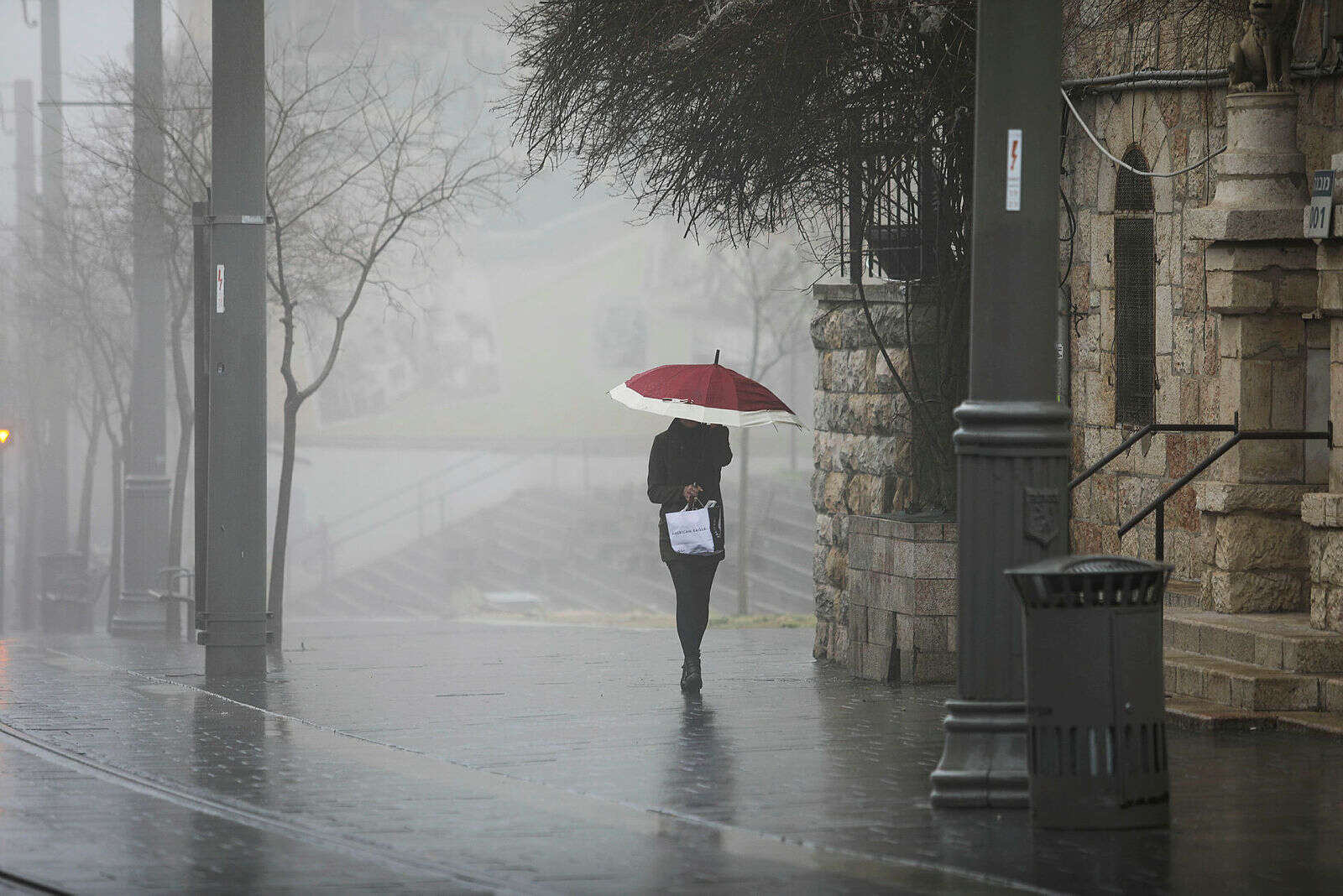
"Alphis" storm, Photo: Yehoshua Yosef
Lior Sudri, a Meteo Tech forecaster, said that on Friday it will rain from time to time from the north of the country to the northern Negev, and there is still a fear of floods and flooding in the festival sites, snow fell on Mount Hermon and possibly in the northern Golan.
There may be gusts up to 55 km / h.
On Saturday it will be partly cloudy and there will still be light local rain in the north and center of the country, it will be colder than usual.
On Sunday it will be partly cloudy to clear, with a slight rise in temperatures, and a temporary respite from the rains is expected.
On Monday it will rain from time to time from the north of the country to the northern Negev, there is a fear of floods in the places, on Mount Hermon it will snow and possibly also in the northern Golan, colder than usual.
Meanwhile, on behalf of Egged Transport, passengers to Jerusalem and the mountain area were informed that due to the forecast for snowfall, the danger of slipping and roadblocks, public transportation services will be discontinued in the evening in the following places: Kiryat Arba, Gush Etzion, Mateh Binyamin, Samaria, Efrat, Givat Zeev Mount Hebron, Jerusalem and Ariel Corridor Settlements.
The service between Jerusalem to Mevaseret Zion, Ma'ale Adumim, Modi'in Illit and Beit Shemesh is also expected.
Were we wrong?
Fixed!
If you found an error in the article, we'll be happy for you to share it with us