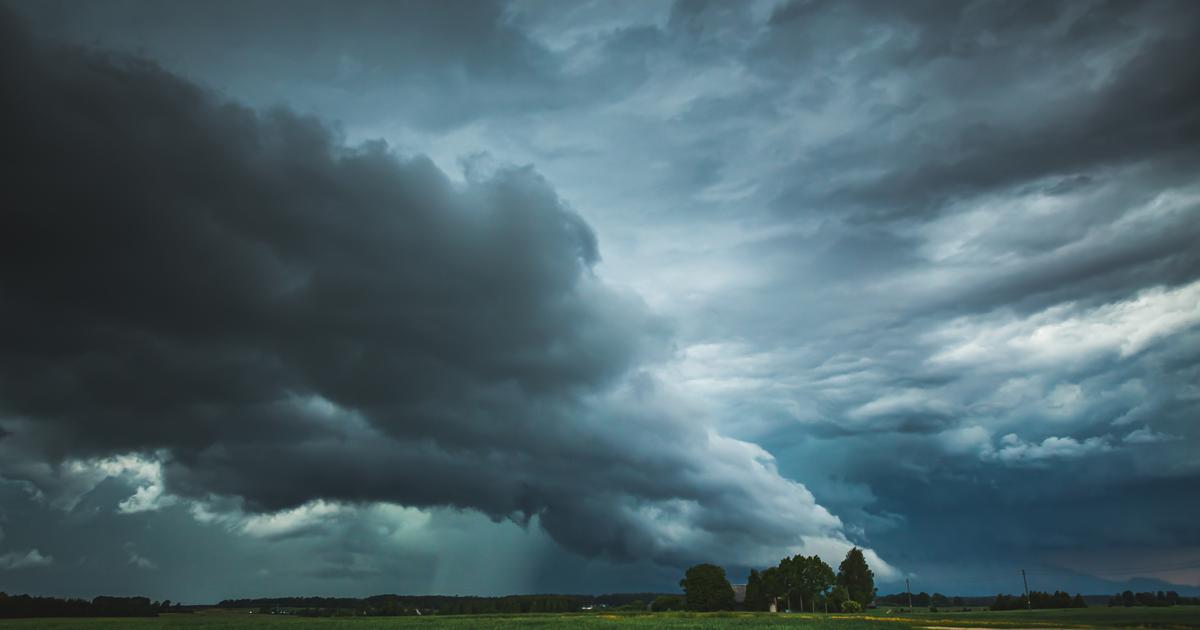
This Thursday, the high pressure is still crossing France, explains La Chaîne Météo*.
Fog banks appear in the morning in the South-West, as well as in Brittany and in the Centre.
Rain is expected in Nord-Pas-de-Calais then from Normandy and Picardy to the Ardennes with a risk of freezing drizzle in the evening from the Langres plateau to Lorraine.
Read alsoGlobal warming: will entire countries disappear under water by 2050?
The weather in your area
From Brittany and the Pays de la Loire to Lower Normandy
, the weather is gray and gloomy with persistent low clouds but also a few banks of fog in the morning. At the end of the afternoon, some drizzle may occur near the Channel coast where the westerly wind will strengthen to reach 50 km/h in gusts. In the morning, temperatures fluctuate between -1 and 6°C. In the afternoon, temperatures rise with up to 10°C in Brest and Cherbourg.
From Centre-Val de Loire to Ile-de-France and Haute-Normandie
, the grayness persists with low clouds and sometimes freezing fog over Berry and Sologne.
In the afternoon, a few drizzles can break out in Upper Normandy, reaching Ile-de-France at the end of the day.
Temperatures are between -3 and 5°C in the morning from Berry to the Normandy coast and in the afternoon, they are between 3°C in Bourges and 9°C in Le Havre.
To read alsoWeather: what is the phenomenon of “atmospheric river” at the origin of the floods in the South-West?
From Hauts-de-France to the Ardennes
, the weather is gray and humid with heavy skies accompanied at times by drizzle.
The wind blows on the Côte d'Opale to reach 50-60 km/hour in gusts.
The temperatures soften a little with 0 to 6°C in the morning and 4 to 9°C in the afternoon.
From Champagne and Lorraine to Alsace
, the sky remains gray with a few banks of freezing fog.
At the end of the day some drizzles occur in places.
A risk of ice is to be expected in certain sectors where the roads may still be frozen, particularly from the Langres plateau to Lorraine, warns the Weather Channel.
Temperatures are between -3 and 0°C in the morning and between 0 and 4°C in the afternoon.
From Burgundy-Franche-Comté to Auvergne-Rhône-Alpes
, the weather situation is changing little with many morning gloom in the plains and sheltered valleys.
The sun imposes itself from the first heights.
Temperatures are between -6°C and 2°C in the morning and between 0 and 11°C in the afternoon.
Read alsoFrozen soils, a temporal safe like no other
In New Aquitaine
, low clouds and fog are frequent in the plains in the morning then will dissipate to give way to the sun.
In the regions close to the Pyrenees and the foothills of the Massif Central, the weather is sunny from morning to evening.
Temperatures are between -6 and 2°C in the morning and between 4 and 14°C in the afternoon.
In Occitania, Provence-Alpes-Côte d'Azur and Corsica
, the sun largely dominates with the exception of some morning fog over the Toulouse South and coastal cloud banks between the Côte d'Azur and Corsica.
Temperatures are between -6 and 5°C in the morning and between 8 and 17°C in the afternoon.
*The Weather Channel belongs to the Figaro group.