The weather is pleasant and calm on Saturday, frosts are present in the early morning.
Read alsoThe James Webb Space Telescope has begun its long waltz around the Sun
On Sunday, the anticyclone retreats over central Europe, which brings a strong disturbance to the West.
Wind is expected during the afternoon and evening, along the Channel coast and in Hauts-de-France.
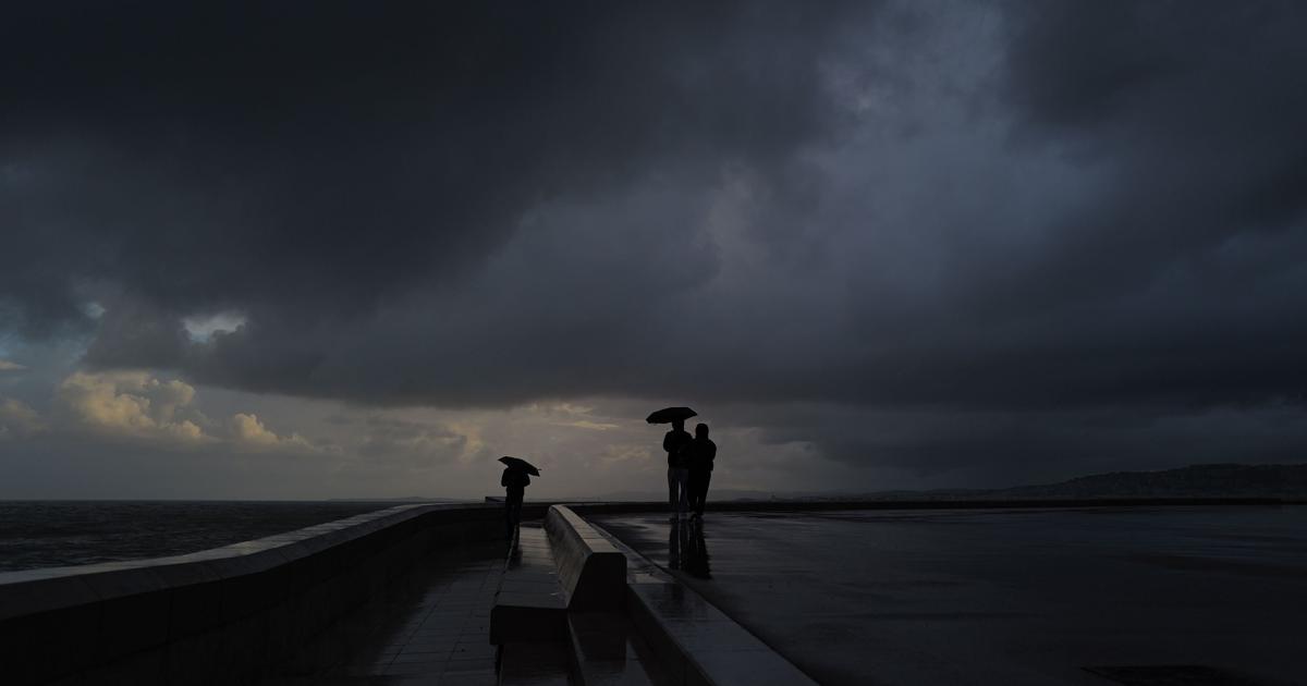
The weather deteriorated sharply in the evening and the following night in the South-East with the arrival of heavy rains.
The weather in your area
From Brittany and Pays de la Loire to Normandy
, the few clouds do not prevent the sun from shining during the day, the sky will however be more overcast in western Brittany.
Maximum temperatures will be up to 3°C in the morning and 11°C in the afternoon.
From Centre-Val de Loire and Ile-de-France to Hauts-de-France
, the sun is shining, despite the presence of rare clouds.
In the early morning, fog is expected north of the Seine.
Maximum temperatures are between 7 and 11°C.
From the Grand Est and Bourgogne-Franche-Comté to Auvergne-Rhône-Alpes
, the sky is only slightly overcast, a few clouds are present in Auvergne and western Burgundy in the morning, before drifting to the 'Is in the afternoon.
Frosts are expected in the morning.
Maximum temperatures vary between 7 and 12°C.
Read alsoAnd now, rain on demand
In New Aquitaine and Occitanie
, in the morning the sky is gray and the weather wet over Languedoc-Roussillon with gray and wet weather.
Elsewhere, the sky is covered by a few high clouds.
Temperatures are between -2 and 6°C in the morning and between 9 and 15°C in the afternoon.
Between PACA and Corsica
, the morning is very sunny, to give way, in the afternoon, to a cloudier sky.
Maritime entries can overflow from Languedoc towards the west of Provence.
A strong northeast wind is expected between Corsica and the continent.
Maximum temperatures vary between 11 and 17°C.
*The Weather Channel is a property of the Figaro group