Red alert!
Storm front is heading for Bavaria - the first counties are closing schools
Created: 02/16/2022, 19:01
By: Thomas Eldersch
Stormy times are coming to Bavaria.
Hurricane gusts break like waves over the Free State.
The DWD warns of many dangers in the coming days.
Update from 6:52 p.m .:
Because of the predicted hurricane-force gusts, there will be no classes in parts of Upper Franconia on Thursday.
This initially applies to the city and district of Coburg as well as the districts of Kronach, Kulmbach and Wunsiedel in the Fichtelgebirge, as the authorities announced on Wednesday evening.
The Kronach District Office referred to the German Weather Service (DWD), which advised against staying outdoors on Thursday.
Wind speeds of up to 120 kilometers per hour are expected, so that trees could fall, branches break off or objects could fly around, it said in a statement.
Because of possible dangers on the way to school, there is a weather-related cancellation of classes.
Red alert in Bavaria: hurricane gusts threaten - expert explains why
Update from February 16, 1:20 p.m .:
The DWD meteorologist Guido Wolz explains how the weather * will behave in Bavaria in the coming days.
"We are currently in an increasingly brisk and very strong westerly current." This is caused by a very strong temperature contrast of very cold air in northern Europe and warm air in the subtropics.
"We are exactly in the zone where these air masses meet," explained Wolz.
"Nature always strives to balance itself, so this entails a violent development of low pressure."
Warm and cold fronts will alternate in quick succession until the beginning of next week and sometimes even bring hurricane-like gusts in the lowlands.
The DWD meteorologist warns that walkers should avoid the Bavarian forests in the next few days.
In the mountains, the hurricane gusts are even more violent.
First report from February 16, 10:46 a.m.:
Munich – hats and umbrellas clutched, the dachshund strapped under the arm, something is coming our way.
Bavaria* are facing stormy days.
Peak wind speeds can be achieved that not even a normal city car on the motorway can achieve.
The German Weather Service (DWD) and meteorologist Dominik Jung agree: "Here and there it can get tricky."
Weather in Bavaria: Danger from breaking branches and snapping trees
The winter storms* should last well into the next week.
"The storm situation has real endurance," writes Jung in his forecast.
However, the wind moves across the country like waves.
In between there are always relaxation phases.
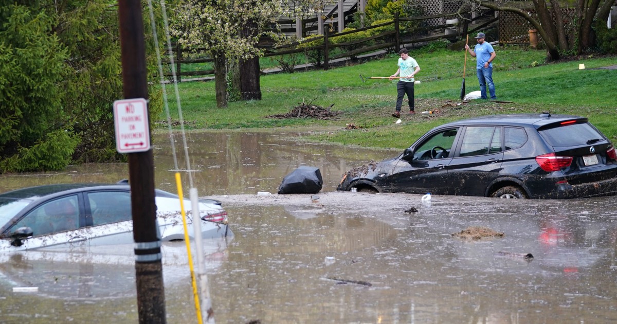
It may also need that, because the storms could cause a lot of destruction.
On the coasts in the north, there is a renewed threat of storm surges and washed-away beaches.
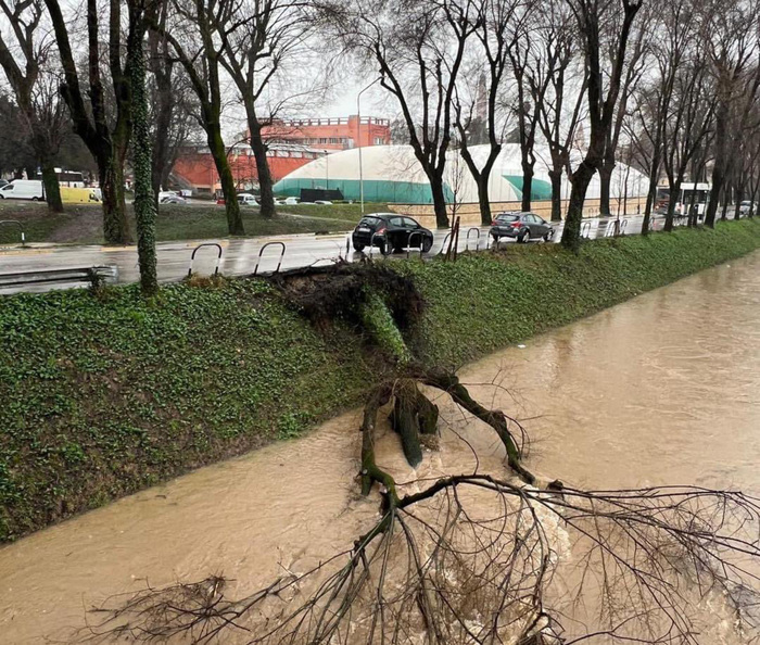
Here in Bavaria there is extreme danger from falling trees.
“Forests and parks should not be entered.
Branches can break off and trees fall over.
Roads and railroad tracks may be blocked,” Jung continues.
Throughout Bavaria, the DWD warns of storm and hurricane gusts with levels two and three out of four.
© Screenshot DWD
Northern Bavaria is hit particularly hard.
In the hatched area, the DWD warns of storms * with hurricane gusts from Thursday morning, 1 a.m.
Winds of 105 to 120 km/h can be reached here in the mountains.
At lower altitudes, 90 to 110 kilometers per hour are still possible.
In his forecast, Jung even speaks of storms* with speeds of up to 180 kilometers per hour at higher altitudes in the low mountain ranges.
So be extremely careful here.
A stormy time is approaching Bavaria.
The DWD is already issuing warnings for the entire Free State.
© Peter Kneffel/Boris Roessler/dpa
Weather in Bavaria: DWD also warns of thaw and flooding
While the north gets a good draught, the south is spared strong hurricane gusts for the time being.
It can also storm here, but at 60 to 85 km/h the winds are not as strong as in the north.
But another problem looms.
At the edge of the Alps and on the mountains in the Bavarian Forest, it is beginning to thaw vigorously.
With values around 14 degrees in Berchtesgaden, which will continue to rise in the coming days, no wonder.
Therefore, the DWD warns here: "From this morning in the northern and eastern low mountain ranges, as well as on the edge of the Alps, in connection with heavy rainfall and rising snow line, the onset of thaw, with precipitation* of 30 to 40 l/sqm in 24 hours in some areas.
Especially in the Bavarian Forest, in the Allgäu Alps and in the Rhön locally also 50 l/sqm until Thursday noon.” There is a risk of local flooding.
Weather in Bavaria: The storm situation will last until next week
The first storm wave was over on Friday.
But already in the night on Saturday the second rolls up.
The DWD speaks of another "heavy storm and orc system".
And after another break at the weekend, the wind picks up speed again at the start of the new week.
Weather expert Jung has a few more tips to help you get through the stormy weather.
“Beware of cross winds on roads and bridges.
Long-distance trips in Germany should be avoided until Sunday” and beware of loose objects, broken branches and falling trees.
(tel) *Merkur.de/bayern is an offer from IPPEN.MEDIA