What to do if a snowfall surprises you driving?
1:29
(CNN) --
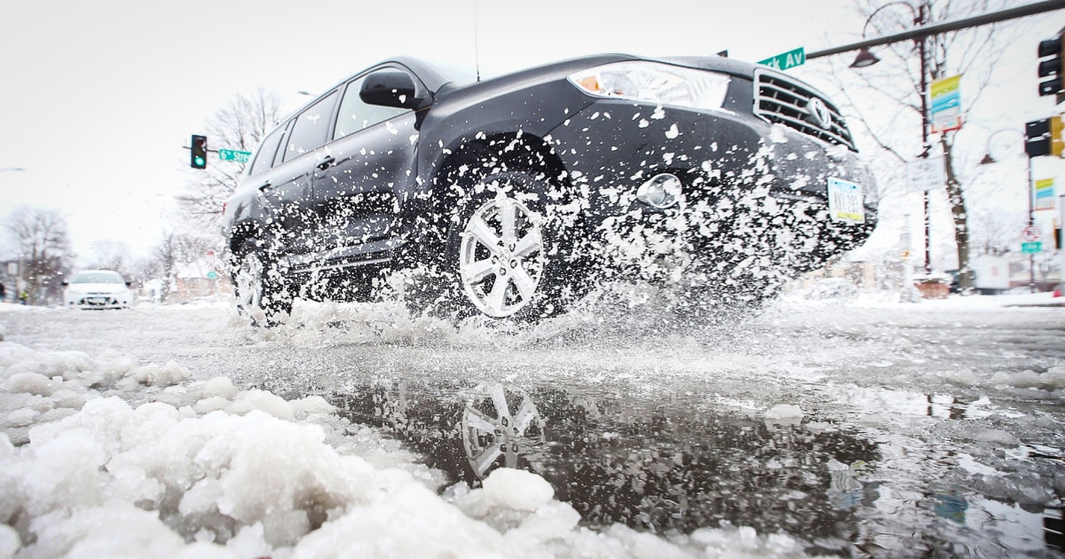
A powerful winter storm is expected to bring dangerous levels of ice to roads in parts of the South and Midwest on Thursday before dumping heavy snow across the Northeast.
Winter weather watches stretch more than 1,500 miles from Texas to Maine as the ice storm will create dangerous travel and possible power outages, as well as a potential flood threat in the Tennessee and Ohio valleys on Thursday.
Ice larger than 1/4 inch is likely to accumulate from the Red River Valley of Texas through the Ozarks and southeastern Missouri, according to the Weather Prediction Center.
"Locally, ice 12.7mm" or greater is possible, which could lead to scattered power outages, tree damage and dangerous travel," the forecast center tweeted.
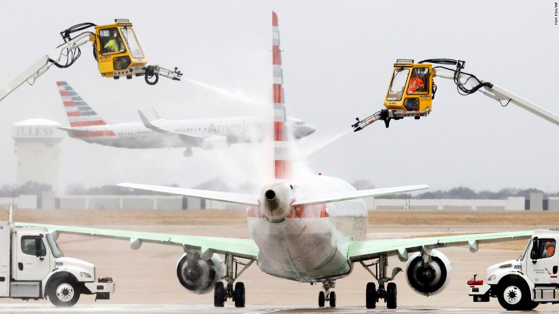
Nearly 1,500 flights have already been canceled for Thursday, mostly from Dallas/Fort Worth International Airport, according to tracking website Flightaware.com.
advertising
In advance, the Texas Electric Reliability Council, which operates the state's power grid, warned Wednesday that it could experience difficult grid conditions, according to CNN affiliate KTVT.
Additionally, some Texas school districts, including Dallas and Fort Worth, have canceled classes due to anticipated dangerous driving conditions.
"The current forecast has an increasing winter mix with travel conditions getting progressively worse in the early morning hours," CNN meteorologist Michael Guy said.
He noted that falling temperatures are expected to freeze roads.
"Austin had temperatures near 90 degrees Fahrenheit on Tuesday, and within 24 hours they were below freezing, making it the largest 24-hour temperature drop on record, eclipsing the previous record of 10 degrees set in the years 1955, 1990 and 1994," Guy said.
Alert on the US West Coast due to a strong winter storm 0:47
Meanwhile, Arkansas is expected to see the worst of the ice threat.
Up to 19mm of ice is estimated to form on roads stretching from Little Rock, Arkansas, to Jonesboro, a swath that includes Interstates 40 and 30.
“As values exceed 12.7mm, the dangers increase as significant power grid damage begins and widespread damage to trees and power lines will be seen,” the Little Rock weather service noted.
"Travel will be nearly impossible with many roads blocked by downed trees and debris from power lines along with power outages in the range of hours to several days."
What's forecast for the Northeast
The storm is expected to move east on Friday, creating a winter disaster in the Northeast with the possibility of more ice problems, especially in the Appalachians and western Pennsylvania.
Forecasters predict the storm will dump substantial amounts of snow and cause ice packs as it moves into southern New England on Friday.
"Heavy snow is expected across upstate New York and New England on Friday, when snow rates will likely eclipse 1 inch per hour at times, according to the weather service.
Six inches of snow or more is expected across much of the Northeast and southern New England, with areas of Massachusetts likely to see nearly a foot of snow.
Boston could see about 9 inches by the end of the week.
About 2.5 inches of snow is estimated for Thursday night in New York City, according to forecasts.
CNN's Caitlin Kaiser, Judson Jones, Brandon Miller, Sharif Paget and Greg Wallace contributed to this report.