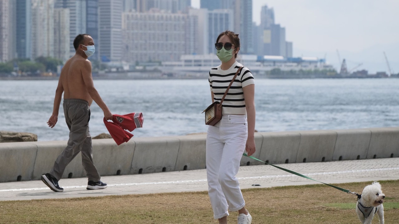
The weather in Hong Kong has been getting warmer recently, entering early summer.
The Observatory predicts that, dominated by high-altitude anticyclones, the coastal areas of South China will be generally sunny and continue to be hot in the next day or two.
It is expected that tomorrow (29th) the temperature in the urban area will reach as high as 33 degrees, reaching extremely hot levels. Sheung Shui has a chance of reaching 37 degrees, or the first hot weather warning this year may be issued.
In addition, the Observatory expects a northeast monsoon to arrive in Guangdong on Labour Day (May 1) on Sunday.
In addition, heavy showers associated with a broad area of low pressure will affect the northern South China Sea and the coastal areas of South China early next week, but it remains uncertain whether the area of low pressure will develop into a tropical cyclone.
Although it is unknown whether there will be wind, according to the nine-day weather forecast, the Observatory expects that it will be cloudy with showers on Sunday and next Monday (May 2), and the temperature will drop to a minimum of 20 degrees; The wind of the typhoon.
▼The weather on April 26 was generally sunny and continued to be hot▼
+2
Nearly Hong Kong has been sunny and hot. As of 12:40 noon, the Observatory recorded a maximum of 31 degrees, and Sheung Shui, Yuen Long and Wetland Park all reached a maximum of over 33 degrees, reaching extreme heat.
The Observatory said the high-altitude anticyclone is bringing generally fine weather to Guangdong, with temperatures rising to 30 degrees or above in most parts of Hong Kong at noon.
It is forecast to be mostly fine and hot today with moderate east to southeasterly winds.
Looking ahead, the weather is generally fine and hot in the next one or two days.
The first hot weather warning of the year may be issued on Friday, and it may be the earliest on record
The observatory is expected to be fine tomorrow (29th), with extremely hot days and mist along the coast in the morning.
The temperature ranges from 27 to 33 degrees, and there is a chance that it will reach 37 degrees in Sheung Shui.
If the Observatory issues a hot weather warning tomorrow, it may break the record set in 2018 and become the earliest hot weather warning ever issued.
On Saturday (30th), the weather was generally fine and hot, with the temperature dropping slightly to between 26 and 32 degrees.
Sunday (May 1) is Labor Day, and Monday (May 2) also provides supplementary leave. Many wage earners can enjoy three consecutive days of leave, but the weather is unstable.
The Observatory is expected to be cloudy on Sunday with a few showers and thunderstorms, with more frequent rain later on; and sometimes more frequent rain on Monday.
In terms of temperature, the temperature on Sunday is expected to be between 23 and 27 degrees, which is a sharp drop of 9 degrees from the previous day; it further dropped to a minimum of 20 degrees on Monday, and many districts in the New Territories may fall below the "2 prefix", with a minimum of 18 to 19 degrees. Spend.
5.1 and 5.2 Offshore strong winds with winds up to No. 3 typhoon
Earlier, the Observatory expected a tropical cyclone to form over the weekend, but today it is still uncertain whether the low-pressure area will develop into a tropical cyclone.
However, according to the nine-day weather forecast, winds of magnitude 6 will be blown off the coast on Sunday and next Monday, which is the wind of the No. 3 typhoon.
With reference to the forecast of the US Global Forecast System (GFS), the low-pressure area will become a tropical depression in the central part of the South China Sea next Monday, and then move slowly. It is expected to be closest to Hong Kong on Friday (6th) and then gradually dissipate.
The European Centre for Medium-Range Weather Forecasts (ECMWF) expects it to maintain the level of a low-pressure area, and the threat is significantly weakened compared to earlier forecasts.
▼ECMWF forecasts the trend and intensity of tropical cyclones▼
▼GFS forecast tropical cyclone trend and intensity▼
+1
The observatory is expected to gradually move away from the rainy area, the sky in southern China will improve in the middle and late next week, and there will be sunshine for part of next Wednesday (May 4).
Next Thursday (May 5) is the "Lixia" in the twenty-four solar terms, which means that summer is officially coming. The Observatory expects that there will be sunshine for part of the next Thursday, and the temperature will range from 23 to 29 degrees.
The Observatory is expected to be extremely hot in Sheung Shui on Friday, or it may reach 37 degrees monsoon and low pressure area. The 5.1 Thunderstorm Observatory wrote an article warning that May may be the fastest tropical cyclone on the weekend, or it will generate strong winds early next week. Will it be windy in May?
The Observatory predicts that a tropical cyclone may form in the South China Sea over the weekend. The Observatory predicts that the Northeast monsoon and the low-pressure area will strike.


