
This week, temperatures could be 5°C higher than in summer.
The explanation?
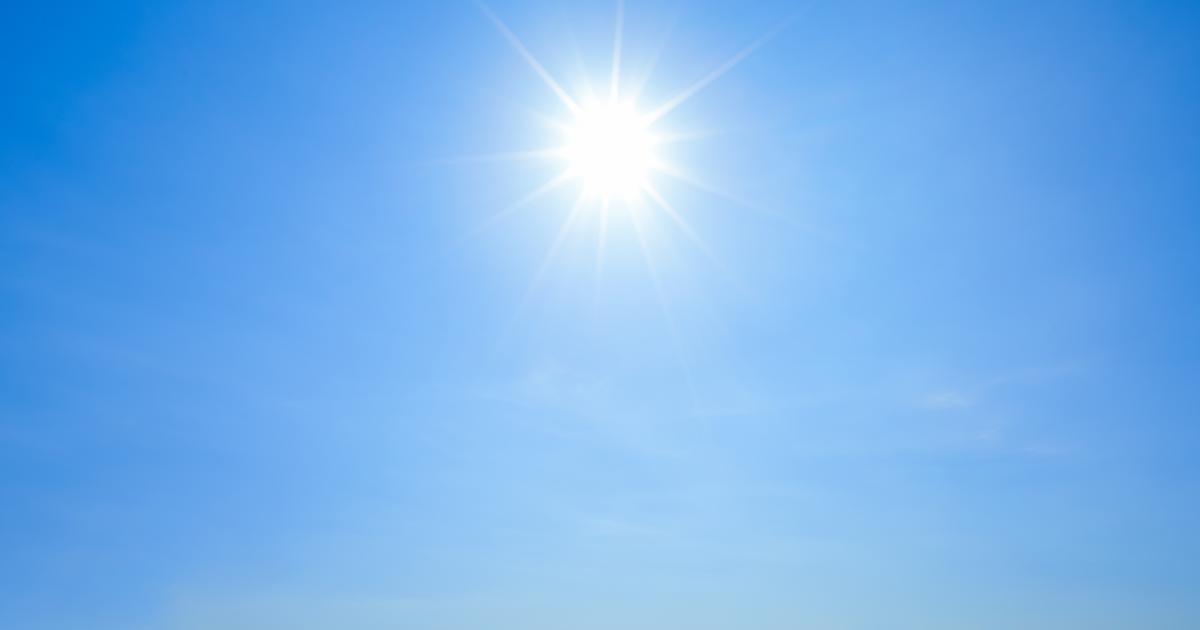
A heat dome has settled in Western Europe, with France as its center, and is causing a lasting heat wave, which should last until Friday May 20, according to
La Chaîne Météo*
.
Read alsoTemperatures close to 50°C: how to explain the extreme heat wave that is hitting India and Pakistan?
Head of the forecasting department of La Chaîne Météo, Pascal Scaviner explains to
Le Figaro
this meteorological phenomenon caused by an anomaly in the general circulation of the atmosphere in western Europe.
It causes the installation of an axis of high pressure coming from Africa, which extends gradually in France and goes up towards the North, as far as Belgium and the Netherlands.
In other words, it is a warm air axis carrying a tropical southerly airflow.
At the same time, at an altitude of 1500 meters there is an air mass 8 degrees above average.
The two phenomena cause a lasting increase in temperatures in part of the territory.
The heat dome is not a rare situation, several have already occurred in Europe, but that it occurs in the middle of May is surprising, according to Pascal Scaviner: "
This episode of strong heat is early, we will have to wait for the temperature balance, but the situation could be quite exceptional
”.
He believes that such climate variability is part of global warming, and predicts with regret that heat domes will be more frequent in the future.
Already in recent weeks, “
anomalous
” weather conditions have caused rising temperatures and drought.
Temperature records
The heat wave will not be felt throughout France, but records could be broken in many departments, envisages Pascal Scaniver.
Haute-Provence, the South-West, the Central regions, the Pays de la Loire and the Paris basin will be the most affected regions, with temperatures in Paris, Lyon and Toulouse exceeding 30°C.
Wednesday should be the hottest day of the week.
Weather conditions sources of discomfort, according to the specialist of La Chaîne Météo, which provides high humidity and high temperatures even during the night.
However, the term heat wave cannot be used, the official threshold is 2 to 3 degrees above.
*The Weather Channel is a property of the Figaro group.