
After many days of rainy days, the near Japan port finally cleared up.
The Observatory predicts that the dry northeast monsoon will continue to bring generally fine weather. It is expected that the temperature in Hong Kong will gradually recover, and the maximum temperature in the urban area will rise to 28 degrees over the weekend.
However, as the trough of low pressure will affect the coast of South China and the northern part of the South China Sea from late this week to early next week, there will be a few showers on Saturday (21st, also the "Xiaoman" in the 24th solar term), Sunday (22nd) More localized thunderstorms.
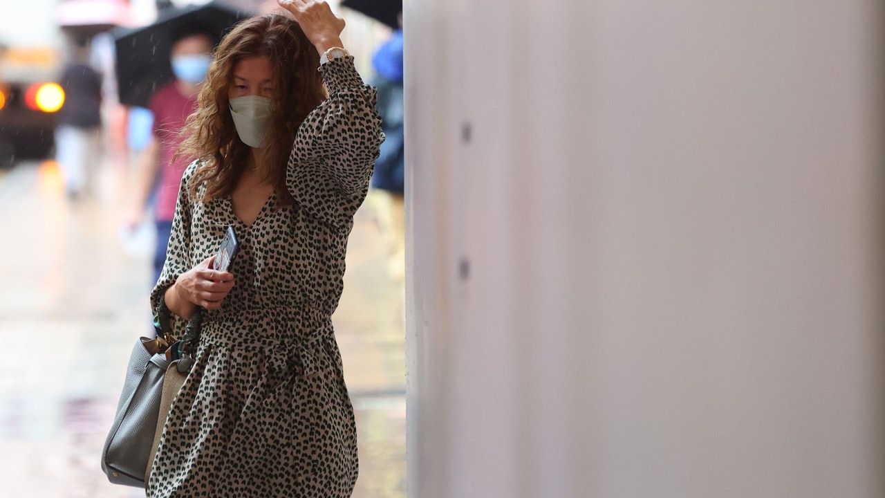
The Hong Kong government will further relax social measures on May 19. Places such as bars that have been closed for several months can ask again. However, the epidemic prevention measures are loosened, but in case of unstable weather, citizens should remember to bring umbrellas when going out.
▼Heavy winds and horizontal rains under the rainstorm warning on May 12▼
+3
It will continue to be sunny for the next three days, with a maximum temperature of 28 degrees from Friday to reach the hot level
Affected by the dry northeast monsoon, Hong Kong ushered in a sunny day today (17th) with dry daytime. The temperature in the urban area was between 20 and 25 degrees.
The Observatory predicts that there will continue to be sunshine for the next three days, and the maximum temperature in the urban area will gradually rise to 28 degrees, which is a hot level.
(Screenshot from the Observatory's website)
The Observatory predicts that the trough of low pressure will affect the coast of South China and the northern part of the South China Sea from the end of this week to the beginning of next week. The weather in the area will be unstable and there will be thunderstorms. It is expected that the weather in Hong Kong will start to deteriorate on Saturday, and the weather will be generally cloudy with a few showers. , There will be thunderstorms in more local areas next Sunday (22nd), but only light winds are blowing, and the temperature is not expected to drop, and the urban area is hovering at 25 to 28 degrees.
The Observatory also expects that it will continue to be sunny and showery next week, and the wind will strengthen slightly. Next Tuesday (24th) offshore strong winds will blow occasionally, and the maximum temperature in the urban area will continue to remain at 28 degrees. Refer to the automatic regional weather forecast.
Next Wednesday (25th) Ta Kwu Ling, Sheung Shui, Shek Kong and Chek Lap Kok have a chance to rise to 30 degrees, and the weather will continue to reach hot levels.
▼5.19 Reopening of listed premises in Chapter 599F▼
+2
The director of the Observatory said that the timing of the rainfall outbreak is random. The new radar encryption scanning is being tried, but there are still limitations. The observatory expects that the weather will remain unstable on the weekend. Uncertainty in the region, early warning of heavy rain | The actual rainfall in the next two or three days is difficult to measure