The heat dome that has been crossing France for a good week will fall back on Monday May 23 towards Italy and Switzerland.
But its evacuation gives rise to a real conflict of air masses which will cause a depression, accompanied by a virulent stormy disturbance over France, predicts
La Chaîne Météo*
.
Read alsoGlobal warming: there is still time to act, assures the IPCC
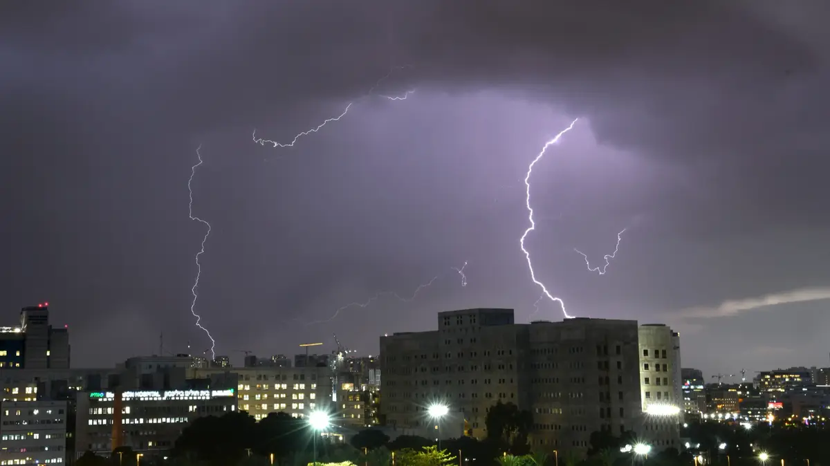
From the Pyrenees to the eastern flank of the territory, violent phenomena are likely to occur.
In the western regions, the rains will return.
Aft of the disturbance, you benefit from the arrival of breathable air, which allows you to ventilate and cool your accommodations, but be careful not to catch a cold!
In the morning
, it will be 12°C in Rennes, 15°C in Rouen and Lille, 16°C in Paris, and milder weather in the Mediterranean (17°C in Nice, 19°C in Montpellier and 21°C in Marseilles).
In the afternoon
, the stormy agitation will gain ground heading towards the eastern regions, where stormy showers are expected, as well as in the Rhône-Alpes region.
In the West, on the contrary, we find a calmer weather: a trailing sky, clearings and some showers.
It will be 26°C in Perpignan, 18°C only in Biarritz, 21°C in Bordeaux, i.e. temperatures in sharp drop compared to the day before.
On Tuesday
, the depression will act on the Mediterranean regions;
and some showers are to be expected over the central and northern regions, with a lull however compared to Monday.
On Wednesday
, the weather will be sunnier over the central and northern regions.
Near the Mediterranean, however, the weather will remain unstable.
The weather in your area :
From
Auvergne
going up towards
the Center, the Paris basin and to the Normandy coast
, the weather is agitated on Monday, with marked rainy-stormy passages until the middle of the day.
They can be accompanied by hail.
Be careful on slippery roads.
The atmosphere is heavy in the morning with 15 to 20°C, then becomes more breathable in Auvergne compared to yesterday with 21 to 23°C in the afternoon.
From
Brittany
to
New Aquitaine
, the sky is hesitant, at times threatening.
But above all, expect a dizzying drop in temperature, with locally 15°C lost in 24 hours if you are in the Aquitaine basin, where 18 to 20°C are expected in the afternoon... compared to 34 to 36°C this Sunday!
Auvergne-Rhône-Alpes
and
Bourgogne-Franche-Comté
as well as in the
Grand-Est
, after a very mild night, and even heavy in the plain, we find a cloudy sky, with a sandy appearance in the morning.
Soon the atmosphere will become unstable.
Then the Atlantic disturbance will reach these regions in the afternoon and evening with new violent storms, accompanied by hail and powerful gusts of wind.
Be careful if you drive near watercourses because these storms could lead to the risk of flooding.
Just before the storms, you are still hot with 25 to 30°C in the middle of the afternoon.
Then in the evening, after the storms have passed, it will only be 15°C!
Close to the Mediterranean,
you stay away from all the hustle and bustle with simply hazy skies.
In Roussillon, the tramontane rises and reaches 60 km/h in gusts at the end of the day.
From 16 to 18°C in the morning, you have 25 to 30°C in the afternoon.
*The Weather Channel is a property of the
Figaro group.