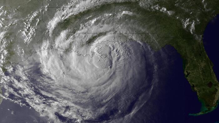
Flexible and robust, the two engines of 350 horsepower each of the emblematic American plane Piper PA-31 roar at 300 km/h above the Seine.
At 3280 feet (1000 meters above sea level), in the specially reinforced structure, Jean-Jérôme Houdaille, the pilot and founder of the PixAir Survey company, provides the heading and the co-pilot, the stopwatch.
In the hold, lined with cables and electronics, an operator from Altoa (Airborne Topographic Laser Agency) scans screens to ensure good quality measurements.
For this mission commissioned by the Seine-Aval Public Interest Group (GIP) and co-financed by the Métropole Rouen Normandie and the new Seine-Normandy mixed management syndicate, it is a question of mapping, in 3D and to the nearest centimeter, all the Seine valley, between the city of Vernon and that of Le Havre.
A technological feat achieved thanks to an airborne laser.
Read alsoFlood risks: the Seine valley under close surveillance
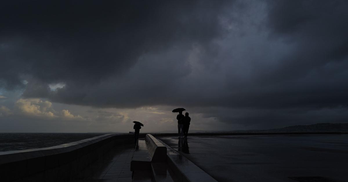
Among its many missions around the river, the GIP Seine-Aval takes care of regional planning, scientific studies for the preservation of wetlands, the protection of biodiversity and also the prevention of flood risks.
To realize them at best, one of its essential notions is topography.
To date, he uses a map made about ten years ago.
With technological progress, the GIP asked the Guyano-French company Altoa to design precision mapping "which will make it possible to observe the microreliefs throughout the territory", indicates Franck Babalone, head of business development at Altoa.
And this, thanks to the LIDAR system (Light Detection And Ranging), a laser which “sends a light to the ground and according to the return time on a GPS antenna calculates the distance.
This makes it possible to measure heights,” adds the engineer.
“Many players will be able to use these cards for free on simple request”
Nicolas Bacq, Scientific and Technical Coordinator at the Seine-Aval Public Interest Group
So, since March, the plane has been sweeping more than 2,300 km² and bombarding the ground: “It works like when you mow your lawn, explains Franck Babalone.
We make parallel strips one kilometer wide.
At the end, the plane takes a turn and goes back in the other direction, checking the overlap to have complete coverage.
These are millions of recorded points that sculpt the earth, vegetation, buildings, structures and water, even if the signal is absorbed in it.
»
The 19TB – 1 Terabyte is equivalent to 1000 gigabytes (GB) – of digital data collected are then processed 80% semi-automatically and 20% for controls, then classified in order to make elements usable to within 5 cm while with a satellite the specialists would still be by the meter.
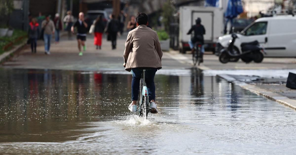
And if the Seine overflows
By the end of 2022, the GIP Seine-Aval will therefore be equipped with the latest generation mapping software: "With a density multiplied by three and comprising millions of measurements, we will be much more precise, rejoices Nicolas Bacq, Scientific and Technical Coordinator at the GIP.
All this information can be used for various subjects such as the observation of forest resources, the protection of fish breeding areas, archeology, urban or industrial development, road construction, etc.
Many players will be able to use these cards free of charge on simple request.
They will be free of rights, because they are public data.
»
Moreover, one of the group's first missions will be to create simulations during the overflow of the Seine: "We are going to propose areas for the expansion of floods in order to absorb the flow of water to avoid areas at risk and to calculate volumes of water, adds Nicolas Bacq.
With such a tool, the precision will be within the gap!
»