After the high heat, violent thunderstorms.
As expected, and feared, for several days, this weekend has been turbulent on the weather front.
Thus, while only five southern departments were on orange alert because of a risk of strong thunderstorms on Friday, this Saturday morning it is a large part of France which is now concerned.
🔶 60 dpts in #vigilanceOrange
Stay informed on https://t.co/rJ24zzmmy4 pic.twitter.com/LUwvatCxEN
— VigiMeteoFrance (@VigiMeteoFrance) June 4, 2022
Because according to the 6-hour bulletin from Météo France, 60 departments, from north to south, could be affected in the coming hours by violent storms.
The forecaster fearing a "very strong stormy activity this afternoon and this evening from the Channel coasts to the North-East and to the South-West of the country".
Widespread alert
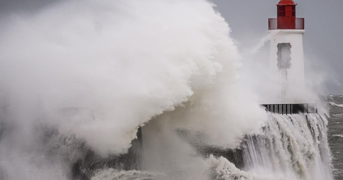
The extent of this vigilance, which therefore concerns a large part of France, is very rare and could manifest itself in “heavy hailstorms, intense rains and gusts of wind.
»
While punctually strong thunderstorms are still observed at the end of the night in Île-de-France, the Pays de Loire, the activity will gradually shift towards the north to decrease, before resuming with renewed vigor.
Read alsoThis summer, it will be hot and dry, predicts Météo France
Météo France thus explains that after a lull this morning, "this afternoon, sometimes violent storms will develop over the Pays de Loire, Normandy, Ile-de-France, the Massif Central and the south-west from the country ".
The latter will then reach the Centre, Burgundy, Lorraine, Champagne and Picardy in the evening.
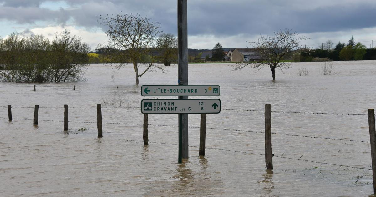
These storms will be accompanied by intense rain (locally 40 to 60 mm in a short time), violent gusts of wind and hail.
The risk of large hail is significant, particularly in the South-West and the Massif Central, further specifies the forecaster.