
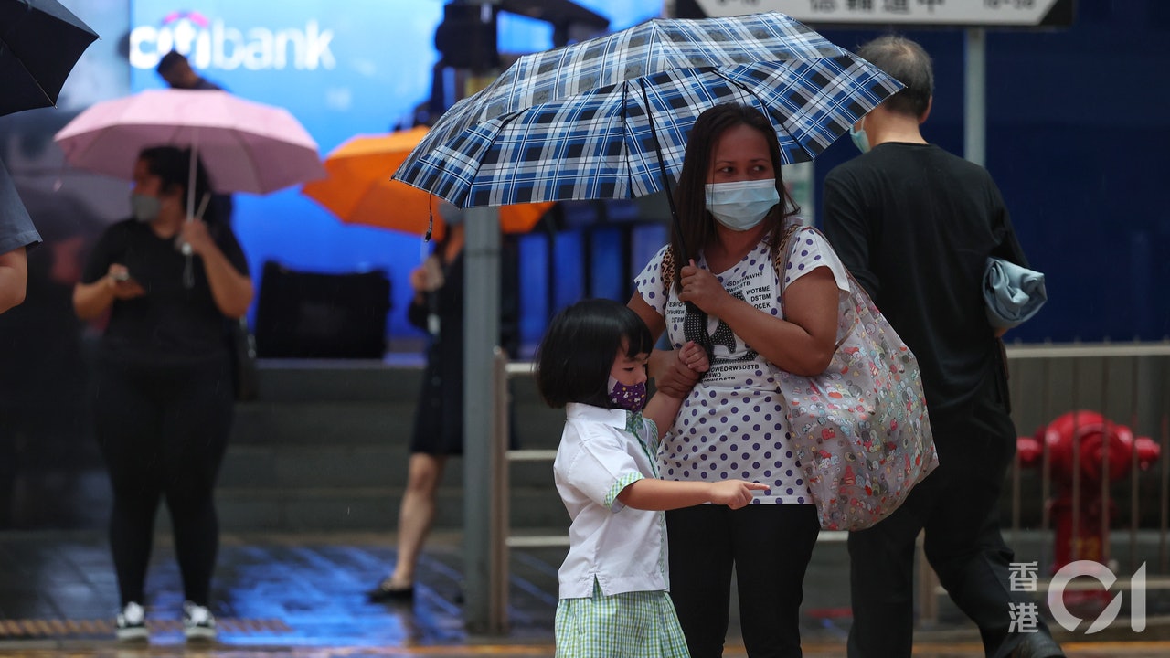
Entering the rainy season, Hong Kong has experienced several days of rainy days. The Hong Kong Observatory issued a red rainstorm warning this morning (8th), marking the second red rain this year.
Under red rain, more than 50 mm of rainfall was recorded in many parts of Hong Kong, and more than 70 mm of rainfall was recorded in Tai Po and Lantau Island.
The Observatory predicts that a trough of low pressure will linger along the coast of Guangdong in the next two to three days, continuing to bring heavy showers and squally thunderstorms to Hong Kong.
However, the trough of low pressure will bring unstable weather to southern China again in the middle of next week, and thunderstorms are expected to usher in the middle of next week.
▼On June 8, Hong Kong ushered in the second red rain this year▼
+7
The second red rain of the year, there are reports of waterspouts in Cheung Chau
Affected by the thunderstorm area associated with the trough of low pressure, Hong Kong ushered in heavy showers and strong squally thunderstorms today. The Observatory issued a red rainstorm warning signal at 10:45 a.m., indicating that an hourly rainfall of more than 50 mm has been recorded or is expected over a wide area of Hong Kong heavy rain, and the rain is likely to continue.
At about 10:30 am, there were more reports of waterspouts in Cheung Chau.
A trough of low pressure lingers along the coast of Guangdong, there are still heavy showers and squally thunderstorms on Thursday
The Observatory predicts that a trough of low pressure will linger along the coast of Guangdong in the next two to three days. It is expected that there will still be heavy showers and squally thunderstorms tomorrow. The temperature in the urban area will be between 25 and 28 degrees. Remember to bring a cover when returning to school. Citizens planning a weekend outing should also consider rescheduling.
Unstable weather expected again in the middle of next week
As the high-altitude anticyclone in the northwestern Pacific Ocean spreads westward, there will be sunshine for a short time in the daytime as soon as next Sunday (12th), and the maximum temperature in the urban area will rise to 32 degrees. There are also a few showers, and the sunny weather is expected to last for only two days.
The Observatory predicts that the trough of low pressure will bring unstable weather to southern China again in the middle of next week. Next Wednesday and Thursday will usher in cloudy weather with showers and thunderstorms in some areas. The rainy days are expected to continue until next Friday (17th).
▼On June 6th, "Mansong" rained heavily in the afternoon in a wide area▼
The director of the Observatory pointed out that the rainfall outbreak time is random. Try the new radar encryption scan, but there are still limitations. The observatory has set up a summer internship scholarship for college students with more than 10,000 yuan. Science, creative media and other subjects can apply for JUPAS | The observatory can be tested for the position of the observatory. The observatory relies on the balloon "8 to 8" to sound out the King's Park to become the first certified 100-year-old high-altitude observatory.