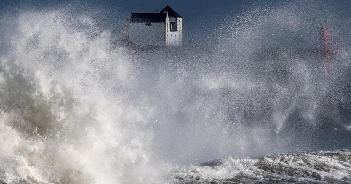
The heat wave will gradually end this Monday in the country, and a new stormy wave will arrive in the evening on the Atlantic coast, forecasts Météo France.
In total, this Monday morning, 21 departments are still on orange alert for thunderstorms and the heat wave.
Among them, eleven departments in the center-east remain in orange level for the heat wave parameter this Monday morning, according to the bulletin from the meteorological service published overnight from Sunday to Monday.
🔶 21 dpts in #vigilanceOrange
Stay informed on https://t.co/rJ24zzmmy4 pic.twitter.com/naJoUOCyzO
— VigiMétéoFrance (@VigiMeteoFrance) June 20, 2022
Strong thunderstorms broke out last night, on an axis going from the Paris basin to the Yonne and as far as the Ardennes, accompanied by intense rains, heavy hailstorms and sometimes strong gusts.
Hailstones of 4 to 5 cm were observed in particular in Loiret and Seine-et-Marne.
The thunderstorms are shifting over the northwest quarter
Very intense rainfall accumulations were recorded: 47mm in 1 hour including 30mm in less than 15 minutes in Vierzon, 60mm in 30 minutes including 40mm in 15 minutes in Lorris (Loiret).
Read also Heatwave: violent storms, sudden drop in temperatures ... the "hot-cold" has disrupted the climate
A new stormy wave tumbles in the early evening on the Atlantic coast.
The sky is covered with temporarily marked stormy rains, accompanied by strong gusts of wind and sometimes hail.
These storms are shifting over the northwest quarter of the country during the night, gradually easing.
The very high temperatures of the past few days are easing, except in Lyonnais.
The maximums are between 20 and 27 degrees north of the Loire, between 28 and 32 in Alsace, Bourgogne-Franche-Comté, the Centre, the South-West, PACA and Corsica.
In Auvergne-Rhône-Alpes, the thermometer still shows 31 to 36 degrees.