According to
La Chaîne Météo
*, Wednesday June 22 is considered the stormiest day of the week.
Nine departments are on orange alert until noon (Ain, Allier, Cantal, Doubs, Jura, Loire, Puy-de-Dôme, Rhône, Saône-et-Loire) and thirty are on yellow alert, mainly located in the South- West, Center and Center East.
The weather is very unstable in the afternoon, especially in the southern two thirds of the country where thunderstorms and showers break out.
To discover
Find all the results of the legislative elections
Read alsoFloods, heat waves, agricultural losses: the impacts of global warming in France
The weather in your area :
From Brittany and the Pays de la Loire to the Centre-Val de Loire
, the weather is changeable, cloudy periods and sunny spells alternate.
Showers and thunderstorms are expected, especially from Vendée to Berry where bad weather can be accompanied by hail.
Maximum temperatures are between 20 and 26°C in the afternoon.
From Normandy and Ile-de-France to Hauts-de-France
, the weather is pleasant, the sun shines in the sky all day long.
In the evening, in Normandy and Ile-de-France, it is possible that it rains.
Temperatures rise to 23 and 28°C in the afternoon.
In the Grand Est region
, the atmosphere is unstable.
The sky is clear and sunny in the north of Champagne-Ardenne and Lorraine.
In the south of Champagne to Alsace, thundery showers are expected.
Temperatures are between 14 and 18°C in the morning and between 26 and 29°C in the afternoon.
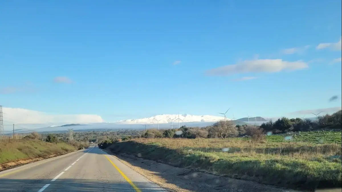
From Bourgogne-Franche-Comté to Auvergne-Rhône-Alpes
, the weather is changeable here too.
The threatening clouds alternate with the few clearings.
Thunderstorms are expected, mainly in the late afternoon or evening between the north of Auvergne-Rhône-Alpes and the south of Bourgogne-Franche-Comté with hail, intense rain and strong gusts of wind.
In the afternoon, temperatures are between 26 and 31°C.
From New Aquitaine to Occitania
, precipitation accompanied by thunderstorms hit from Aquitaine to Limousin at the start of the day.
In the afternoon, the weather is unstable, thunderstorms, cloudy periods and sunny spells follow one another.
In Languedoc-Roussillon, the sky is clear.
The sea wind increases to 60 km/h on the Gulf of Lion.
Maximum temperatures vary between 21 and 30°C in the afternoon from the Basque coast to Roussillon.
From PACA to Corsica
, thunderstorms hit locally.
The good weather is still there, the sun dominates and the temperatures are around 33°C in the afternoon.
*The Weather Channel is a property of the Figaro group