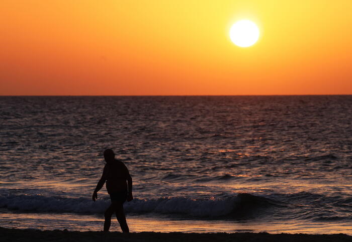
After a week marked by rains and showers, especially in the northern half, and in which Spain has been divided meteorologically in two, with the west with temperatures below normal, the east above and a narrow strip of north to south in the center at normal values for the time, the weather begins to stabilize this Friday and the thermometers begin an escalation that will return summer next week to the part of the country that had lost it.
For example, Mérida and Madrid will go from 27 ° on Friday to 34 ° and 32 ° respectively and Jaén, from 29 ° to 33 °.
It is Friday, the weather will tend this Friday, although the rains will continue in the northern third of the peninsula, again with possible storms in the northeast, which will be locally strong in the Pyrenees, predicts Rubén del Campo, spokesman for the State Meteorological Agency (Aemet). ).
In the Balearic Islands there can also be stormy showers accompanied by mud, while the sun will shine in the rest of Spain.
Temperatures, details the meteorologist, will rise in the western half, Catalonia and the Balearic Islands, but will drop in the eastern Cantabrian.
Thus, Valencia will reach 34 °;
Girona, Palma and Seville will be between 31° and 32°, and Madrid will remain at 27°.
The morning will be cool in Ávila, Burgos, León and Palencia, with lows of up to 8 °.
The #summer for when?
🤔
🗓️ For Tuesday.
😎 #ElTiempoTVE #temperatures #meteo pic.twitter.com/LVs35EMzmo
– Núria Seró (@Nuria_Sero) June 24, 2022
Saturday will begin with rains in Galicia, the Bay of Biscay and the Pyrenees, which may spread in a weaker and more dispersed way to the North plateau, the Ebro basin, the interior of Catalonia and the Central and Iberian systems.
In the rest of the Peninsula and the Balearic Islands, slightly cloudy skies or with intervals of clouds are expected.
Temperatures will drop in the northwest, the Mediterranean coast and the Balearic Islands, and will rise in the eastern interior of the peninsula.
Zaragoza points out ways to be the hottest capital, with 33 °.
I open a thread with the maps planned for today and the next three days.
#Maximum Temperatures expected from today Thursday 23 to Sunday June 26.
More variables and longer period of time at: https://t.co/F9epZNXUyR.
(1/5) pic.twitter.com/mAuhLXFBE3
– CésarRgzBallesteros (@crballesteros) June 23, 2022
On Sunday, more rains in the northern third of the Peninsula, which will spread in the form of showers that can be locally intense around the Iberian system and inland Catalonia.
The rest of the country will have slightly cloudy skies.
Temperatures will drop in the northeast and will hardly change in the rest of the peninsular territory and the Balearic Islands.
The weather will tend to be more stable on Monday and Tuesday of next week, although weak and scattered rainfall may appear in the northern and eastern thirds of the peninsula.
In the rest of the country, slightly cloudy skies.
And the temperatures will begin to rise, a thermal rise will continue during the following days, so that by the middle of next week it will exceed 35° in large areas of the southern half of the peninsula.
Storms will form in mountainous areas of the northern half.
In the Canary Islands, the trade wind regime will prevail, so typical of summer, which will intensify this weekend.
They will drag clouds to Fuerteventura, Lanzarote and the north of the most mountainous islands, where they will leave drizzles.
The sky will be clearer in the south.
Temperatures will remain mild and without major changes for the next few days.