
We are about to enter the midsummer of July, and the weather in Hong Kong has been extremely hot recently.
The Observatory predicts that under the influence of the high-altitude anticyclone, it will be generally sunny and hot in southern China in the next two to three days.
It is expected that although there will be one or two showers from tomorrow (26th) to next Tuesday (28th), it will not help to cool down the temperature. For three consecutive days, the temperature in the sweltering urban area is as high as 33 degrees, and the temperature in Sheung Shui may reach 35 degrees.
The Observatory also expects that a broad trough of low pressure will bring showers from the northern part of the South China Sea to the vicinity of the Luzon Strait in the middle and late next week.
According to the forecast of the Central Meteorological Observatory of the Mainland, there will be a tropical depression near the Philippines around next Thursday (30th), which will bring obvious wind and rain to the coast of South China.
The U.S. forecast shows that from next Friday (July 1), there will be a low-pressure area from the South China Sea to the Guangdong area.
▼ June 8th.
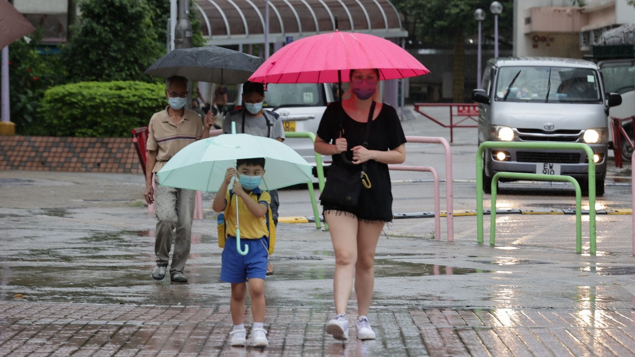
Torrential rain during the red rainstorm warning ▼
+20
Hot weather warning continued for more than 78 hours, Tai Mei Tuk warmed to 34.2 degrees at noon
The Observatory said the high-altitude anticyclone is bringing generally sunny weather to southern China.
At noon today (25th), the temperature in some parts of the New Territories rose to around 33 degrees, with a maximum of 34.2 degrees in Tai Mei Tuk.
The hot weather warning has been in effect for more than 78 hours since it came into effect on June 22.
It is forecast that the weather will be mainly fine in Hong Kong today and the afternoon will be very hot, but there will be showers in some areas with mild to moderate southerly winds.
Looking forward to the next two or three days, the weather will be mostly fine and very hot, but there will be one or two showers. The temperature from tomorrow to next Tuesday will also range from 28 to 33 degrees. Many districts in the New Territories are expected to reach 34 degrees. Sheung Shui has a chance to reach 35 degrees. Extremely hot weather warnings will remain in effect.
▼The situation of Repulse Bay and Stanley Main Beach on the first day of LCSD beach reopening on May 5▼
+11
The Observatory expects that the showers will gradually increase in the middle and late next week. Next Friday (July 1) July 1 will be mostly cloudy, with a short period of sunshine and a few showers.
It will also be cloudy from next Saturday (July 2) to July 4, with occasional showers and a few thunderstorms, with temperatures dropping slightly to between 27 and 30 degrees.
▼European Centre for Medium-Range Weather Forecasts ECMWF forecast▼
▼US Global Forecast System GFS forecast▼
Central Meteorological Observatory: There will be a tropical depression near the Philippines around next Thursday
The mid-term forecast of the Mainland's Central Meteorological Observatory predicts that a tropical depression will form near the Philippines around next Thursday (30th) and will bring obvious wind and rain to the coast of South China.
With reference to the European Centre for Medium-Range Weather Forecasts (ECMWF), a broad area of low pressure will approach Hong Kong next Saturday, and the central pressure at sea level will be as low as 998 hPa, which is only a tropical depression.
Referring to the US Global Forecast System (GFS), a tropical cyclone will form in the northwest of the Philippines next Friday. It is expected that it will be closest to Hong Kong on Saturday and Sunday (July 3), or make landfall in the area of Shanwei City.
GFS predicts that the central air pressure of the tropical cyclone at sea level will be as low as 964 hPa, which means it will reach the level of a typhoon.
The Hong Kong Observatory's forecast did not mention the formation of tropical cyclones or low pressure areas
However, the Observatory's forecast did not mention the formation of a tropical cyclone or a low-pressure area, and the highest wind was only a moderate 5-level wind blowing offshore, which did not reach the wind of the No. 3 typhoon.
The Observatory predicts that under the influence of the high-altitude anticyclone, it will be generally sunny and hot in southern China in the next two to three days.
(Screenshot of the Observatory's website)
The observatory is expected to continue to be very hot on Saturday and Sunday, and the Observatory predicts that the three districts may reach 35 degrees. There will be showers and thunderstorms in July 1st. The high temperature weather in summer will hit the Observatory. The Observatory is expected to be hot from Wednesday to a maximum of 33 degrees on Saturday and the Jumbo Seafood Boat sank | The Observatory said that the Xisha was breezy that day, the mainland and Taiwan were not forecast to see big waves. The Observatory issued a yellow rainstorm warning in the evening. Expect the largest full moon of the year on July 14 in case of strong winds and thunderstorms