An air mass conflict has reigned over France for a few days.
“
Cooler ocean air is affecting the western half, while warm air is holding out in the east through the weekend.
This conflict leads to the formation of very rainy storms from the Pyrenees to the northeast, mainly affecting the central regions
”, details La Chaîne Météo*.
Night from Sunday to Monday
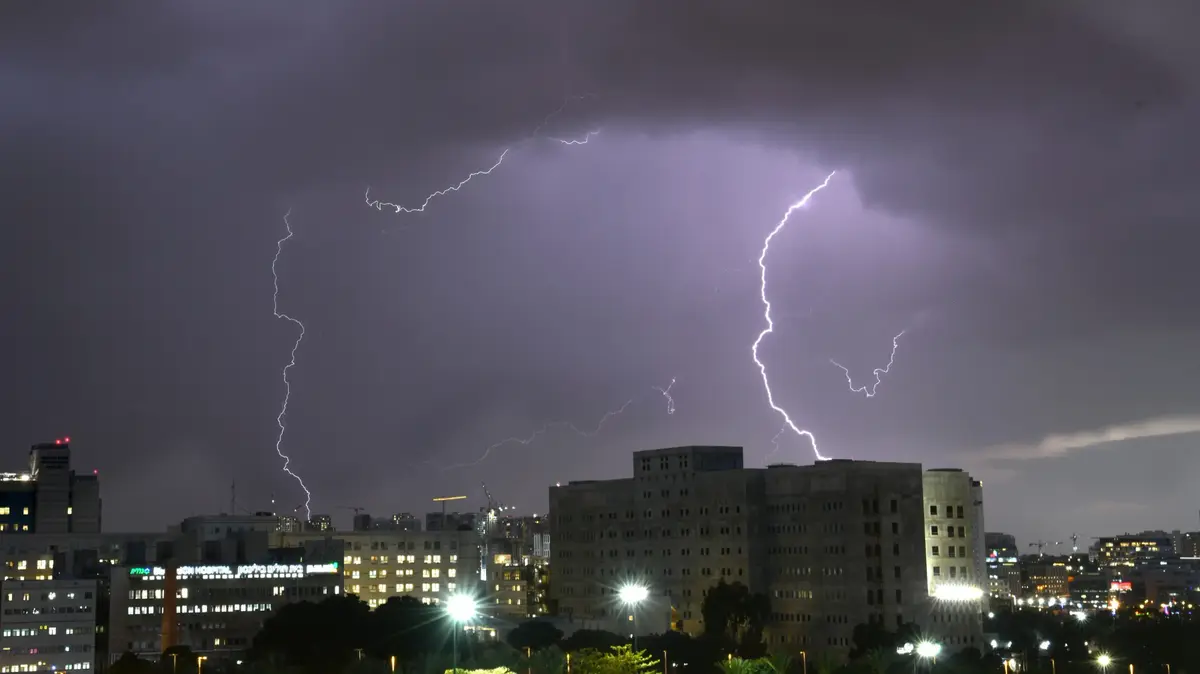
To conclude the weekend, strong thunderstorms will break out in the far east in the evening and will persist into the night from Sunday to Monday.
In the north of Lorraine and Alsace, the disturbances will be evacuated outside the borders around 2 a.m., forecasts the Weather Channel.
However, rains will still persist from the Pyrenees to the Massif Central, adding additional accumulations.
Storms can also affect Haute-Savoie and the Lake Geneva basin.
Read alsoGlobal warming: there is still time to act, assures the IPCC
Monday morning
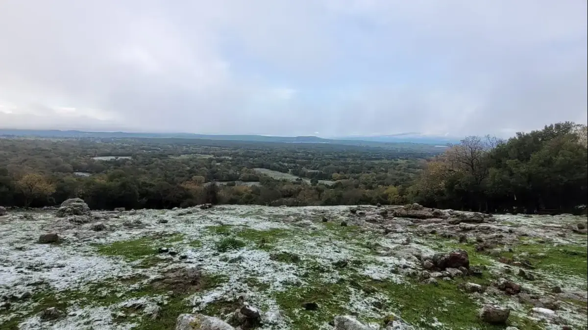
The disturbance will shift between Occitania and the Alps, with gloomy, rainy and still stormy weather.
The extreme south-east was spared with very hot weather with the southerly wind.
The northwestern two-thirds will benefit from beautiful clearings with a rise in temperatures compared to the weekend.
Monday afternoon
Spared until now, the Pyrenees, the Auvergne mountains and especially the Northern Alps, thunderstorms will break out in these regions. “
It will be advisable to be careful in the mountains
”, recommends the Weather Channel.
More diffuse thunderstorms are also expected in Lorraine and Alsace.
Monday evening
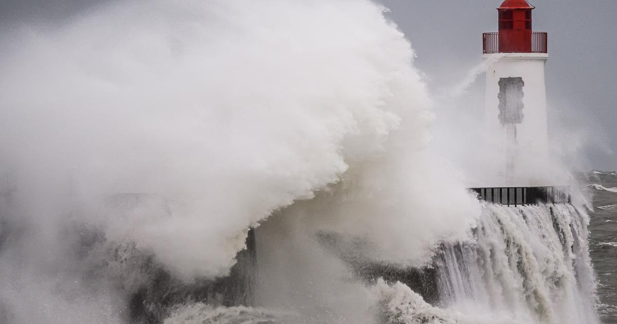
The storms will gain in intensity and will concentrate on the east of the Pyrenees chain up to the Aude, as well as on the Alps, up to the limit of the Hautes-Alpes.
The Weather Channel predicts hail and cumulative rain of up to 30 to 50 mm suddenly (risk of runoff) in the mountains.
The weather in your area
In the north-west,
from Brittany to Normandy, Pays de la Loire, Poitou-Charentes and northern Aquitaine, the weather will be variable with slightly cool air for the season.
Beautiful clearings will however allow a pleasant feeling.
For the Center region, the Paris basin and the Hauts-de-France
, the situation is different with a variable day but without rain.
In terms of temperatures, they will be lower than normal for the season with 18 and 22°C.
From southern Aquitaine to Limousin,
the weather will be better than the day before.
As the day progresses, clearings will dissipate the morning mist.
In the south-west, south Aquitaine, Midi-Pyrénées,
light showers will accompany a gray and humid weather.
"
A few clearings could break through in the afternoon on the Aquitaine coast
", indicates the Weather Channel.
Here again, temperatures are lower than normal, between 17 and 20°C only.
On the east of the Pyrenees
, from Ariège to Andorra, Aude, Pyrénées-Orientales, thunderstorms are expected in the afternoon.
"
They promise to be strong with a marked cooling at altitude
", warns the Weather Channel, which calls for caution.
In the center-east, between Auvergne and the Rhône,
the weather is bad all day with increasingly intense rains in the afternoon, which can become stormy.
For the Northern Alps,
thunderstorms are also expected in the afternoon in Savoie, Isère and as far as the Hautes-Alpes.
Be careful when mounting!
To the east,
thunderstorms followed in the afternoon after a cloudy and sometimes foggy morning.
Only a few clearings will break through in the plain of Alsace.
“
Temperatures are trending downward
,” indicates the Weather Channel.
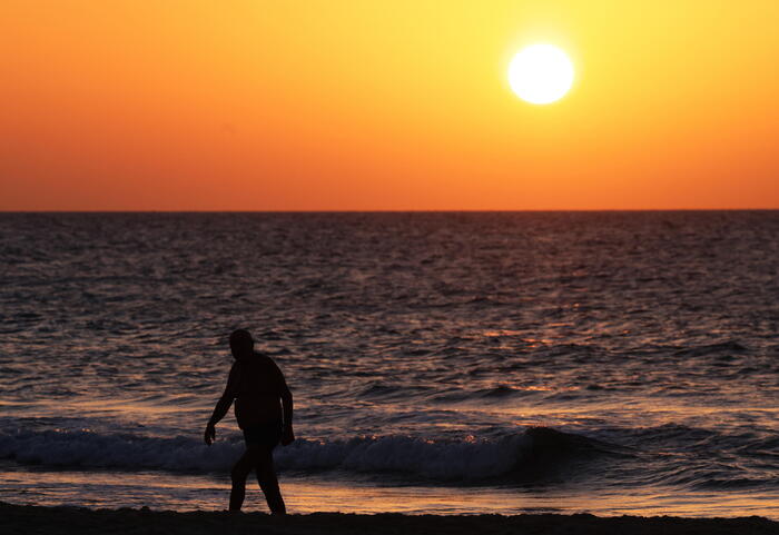
In the south-east
, it will be hot and sunny, especially on the Côte d'Azur and Corsica with highs of 35°C.
A cloudy sky is expected in Languedoc-Roussillon with mistral and tramontana in the afternoon.
*The Weather Channel is a property of the
Figaro
group .