
The weather in Hong Kong has been extremely hot recently, and the weather will deteriorate sharply next week.
The Observatory predicts that a broad low-pressure area in the central South China Sea will develop into a tropical cyclone in the next one or two days, and will generally move to the area from western Guangdong to Hainan Island later this week, but there are still variables in its intensity and path.
The Observatory is expected to be affected by the outer rainbands related to the tropical cyclone, and the weather in the northern part of the South China Sea and the coast of southern China will gradually deteriorate, with stronger winds, squally showers and thunderstorms.
According to the nine-day weather forecast, the Hong Kong Observatory expects the weather to deteriorate on Friday and July, with occasional squally showers and a few thunderstorms. On Friday and Saturday (July 2), Category 6 winds are also generally blowing occasionally.
That is, the level of Typhoon Signal No. 3.
▼On June 27, the hot weather warning came into effect, and the temperature in some New Territories reached 34 degrees▼
+3
Hong Kong Observatory: It will develop into a tropical cyclone in the next one or two days
Hong Kong is entering the midsummer of July, and the typhoon season is approaching.
The Observatory predicts that a broad low-pressure area in the central South China Sea will develop into a tropical cyclone in the next one or two days, and will generally move to the area from western Guangdong to Hainan Island later this week, but there are still variables in its intensity and path.
Between 7.1 and 7.2, the 6th wind reached the No. 3 typhoon series
According to the nine-day weather forecast, Hong Kong will experience showers and thunderstorms for 7 consecutive days from Friday, and the consecutive holiday weather from Friday to Sunday (July 3) is bad, with squally heavy showers and thunderstorms on the three days.
On Friday and Saturday, Category 6 winds generally blew from time to time, reaching the level of Typhoon No. 3; and at the beginning of Sunday, there were also Category 6 winds in the offshore and highlands.
Affected by the heavy rain, the temperature at the Observatory is expected to plummet to between 26 and 29 degrees over the weekend.
▼European Centre for Medium-Range Weather Forecasts ECMWF forecast▼
+1
▼US Global Forecast System GFS forecast▼
+2
The Mainland Central Meteorological Observatory predicts that one or two typhoons are expected to form in the waters from the South China Sea to the Northwest Pacific Ocean in the next 10 days.
Affected by the typhoon, there will be obvious wind and rain in southern China.
European Centre for Medium-Range Weather Forecasts: Tropical Cyclone 7.1 is closest to Hong Kong
Referring to the forecast of the European Centre for Medium-Range Weather Forecasts (ECMWF), a tropical cyclone will form in the South China Sea as soon as Thursday, but it is expected to be weaker, with the lowest central pressure at sea level at 994 hPa, which is only a tropical storm.
In terms of path, ECMWF expects the tropical cyclone to head towards Hainan Island, while July 1 is closest to Hong Kong and makes landfall on Hainan Island on Saturday.
The US global forecast system is expected to make landfall in the west of Hong Kong at night on 7.3
The U.S. Global Forecast System (GFS) forecast shows that the tropical cyclone moves slowly. It has been lingering in the waters south of Hong Kong since it formed on Thursday until Saturday. face login.
GFS predicts that the intensity of the tropical cyclone is also high, with the lowest central air pressure at sea level at 987 hPa, which is the intensity of a severe tropical storm.
Before the wind and rain hit, Hong Kong continued to experience extremely hot weather. The extremely hot weather warning has been in effect for nearly 150 hours since June 22.
The Observatory said that the high-altitude anticyclone is bringing generally fine and extremely hot weather to southern China.
At noon, the temperature in many parts of Hong Kong rose to about 33 degrees.
The Observatory predicts that the weather will be fine today (28th), the afternoon will be very hot, and there will be one or two showers in some areas.
Looking ahead to tomorrow (29th), there will be sunshine and scorching heat for part of the day, with temperatures ranging from 28 to 33 degrees.
The Observatory is expected to have showers and thunderstorms for 7 consecutive days on Friday and July, and the continuous holiday from Friday to Sunday (July 3) is bad, with squally heavy showers and thunderstorms on the three days.
(Screenshot of the Observatory's website)
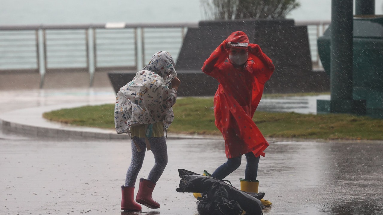
▼On October 13, the typhoon compasses hit Hong Kong, and many citizens went out or chased the wind▼
+23
The Observatory expects that a tropical cyclone will form on July 1 to welcome thunderstorms offshore and the highland wind will reach typhoon signal No. 3 at 7.1?
︱The Observatory predicts that there will be a low-pressure area in the South China Sea, the United States is forecast to reach the level of a strong typhoon, the mainland predicts that a tropical cyclone will form at 6.30, and the United States is forecast to reach the level of a typhoon. The Observatory predicts that there will be thunderstorms in Hong Kong. The super moon will debut tomorrow night, and the observatory is expected to enjoy the largest full moon of the year in case of strong winds and thunderstorms on 7.14