This Friday (July 1) marks the 25th anniversary of Hong Kong's return to the motherland, but that day is expected to be "windy and rainy".
The Observatory predicts that a broad low-pressure area in the central South China Sea will develop into a tropical cyclone in the next one or two days, and will generally move to the area from western Guangdong to Hainan Island later this week, but there are still variables in its intensity and path.
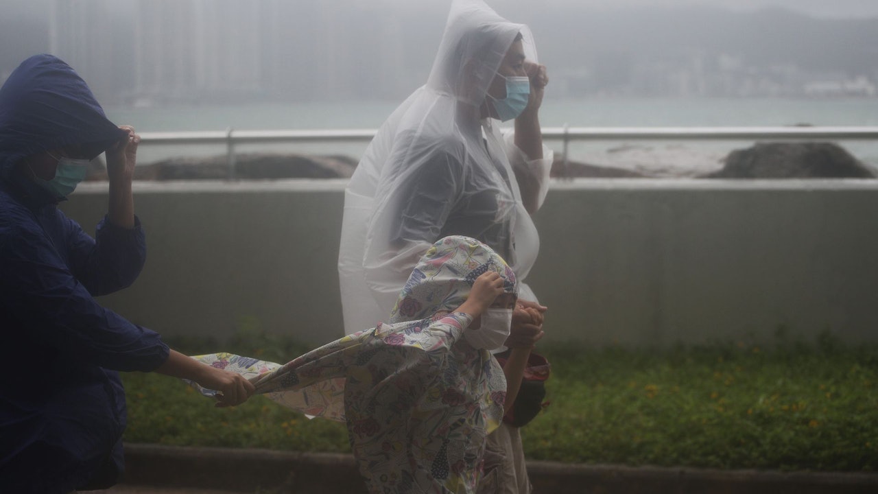
The Observatory also pointed out that due to the influence of the outer rainbands related to the tropical cyclone, the weather in the northern part of the South China Sea and the coast of southern China will gradually deteriorate, with stronger winds, squally showers and thunderstorms.
According to the nine-day weather forecast, the Observatory has further adjusted the wind forecast for July 1st. The latest forecast is that the east wind will blow at level 5, intermittently with level 6, and intermittently with level 7 in the highlands. The strong wind is only one level worse.
▼On June 27, the hot weather warning came into effect, and the temperature in some New Territories reached 34 degrees▼
+3
The low pressure area in the central South China Sea will develop into a tropical cyclone in the next day or two
The Observatory said that a broad area of low pressure is bringing unstable weather to the central South China Sea and the Philippines, and it is expected that the area of low pressure will develop into a tropical cyclone in the next one or two days.
The Observatory also predicted that the easterly wind will gradually strengthen on Thursday (30th), with a few showers, followed by strong winds and squally showers for the next one or two days.
Observatory: 7.1 highland winds blowing occasionally
According to the latest nine-day weather forecast, there will be showers and thunderstorms for 7 consecutive days from Friday, and the consecutive holiday weather will be severe from Friday to next Sunday (July 3).
The Observatory's forecast for Friday is mostly cloudy with occasional squally showers and a few thunderstorms.
In terms of wind, the latest wind forecast this afternoon is higher than the forecast in the morning. It is expected to change from a moderate 6 wind on Friday to a moderate 6 wind, and the highland will occasionally reach a 7 degree wind.
Referring to the Beaufort wind scale, the 6th and 7th winds are strong winds, and the wind reaches the No. 3 typhoon, while the 8th wind has reached the gale level, that is, the wind of the No. 8 typhoon.
In other words, the winds in Hong Kong on Friday were only one notch below that of Typhoon No. 8.
According to the nine-day weather forecast, the Observatory has raised the wind forecast for July 1. The latest forecast is that the easterly wind is 5, with 6 in the middle, and 7 in the highlands.
(Screenshot of the Observatory's website)
The Observatory also predicted that "cross wind and rain" will continue on Saturday (July 2).
Saturday is expected to be cloudy with squally showers and thunderstorms.
In terms of wind, the Observatory predicted that it would blow from the east to the southeast on Saturday at magnitude 5, with an occasional level of 6, reaching the No. 3 typhoon.
Sunday (July 3) will be cloudy with occasional showers and thunderstorms.
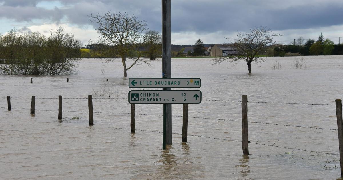
The weather during the return holiday is bad, and the public should pay attention to the weather changes.
▼European Centre for Medium-Range Weather Forecasts ECMWF forecast▼
+1
▼US Global Forecast System GFS forecast▼
+2
▼On October 13, the typhoon compasses hit Hong Kong, and many citizens went out or chased the wind▼
+23
The Observatory recorded 34.4 degrees this afternoon, making it the hottest area this year, with more than 35 degrees in Sheung Shui and high winds of 36.3 degrees. The Observatory expects a quasi-tropical cyclone to remain variable and it is forecast to hit Hong Kong with a squally thunderstorm on 7.1. And the highland wind reaches 7.1 of Typhoon Signal No. 3?
︱The Observatory predicts that there will be a low pressure area in the South China Sea, the United States is forecast to reach the level of a strong typhoon, and the United States predicts that a tropical cyclone will form at 6.30. The United States is forecast to reach the level of a typhoon.