
Entering the typhoon season, Hong Kong ushered in the first one this year, and we will dance with each other at any time.
The tropical cyclone located in the central part of the South China Sea will generally move towards the western coast of Guangdong in the next two to three days. The Hong Kong Observatory issued Typhoon No. 1 at 9:10 tonight (29th), indicating that it was already within 800 kilometers of Hong Kong, and it is expected There will be squally showers and thunderstorms this Friday (July 1) and the weekend.
Macau, which is closer to the tropical cyclone than Hong Kong, was the first to issue Typhoon No. 1 at 7pm tonight.
Its Geophysics and Meteorological Bureau also stated that it is expected to be affected by the development of another low-pressure area east of the Philippines. If it adopts a more northerly path or strengthens near the coast, it does not rule out that a higher typhoon will be issued, but it emphasizes that its intensity and path will be in the future. There are still large variables.
+5
Macau: If the double swirl dance causes it to move more northerly, it is not ruled out that a higher typhoon will be issued
The Macao Meteorological Bureau issued the No. 1 typhoon at 7 p.m. tonight, and forecast a tropical depression in the central part of the South China Sea. It will gradually intensify in the next one or two days, generally tending to the area from western Guangdong to Hainan Island, and the chance of issuing the No. 3 typhoon is medium. to high.
At the same time, another tropical depression is also expected to follow. The Bureau of Meteorology mentioned that it is expected to be affected by the development of another low-pressure area east of the Philippines, and the intensity and path of this tropical depression will still be greatly variable in the future. .
If it adopts a more northerly path closer to Macau or strengthens near the coast, the chance of a higher typhoon signal will not be ruled out.
According to the Joint Typhoon Warning Center (Joint Typhoon Warning Center) at 11:00 a.m. US time on the 29th, a tropical depression (97W) in the central South China Sea is expected to form a tropical cyclone within 24 hours, and there is another tropical cyclone east of the Philippines. Depression (98W), but it has a low chance of becoming a tropical cyclone in the coming day.
According to the forecast of the United States Joint Typhoon Warning Center JTWC, in addition to the tropical depression 97W affecting Hong Kong and in the South China Sea, another code-named 98W may form in the waters east of the Philippines.
(Screenshot of the official website of the Joint Typhoon Warning Center)
The Observatory issued the Standby Signal No. 1 at 9:10 pm today, indicating that there is a tropical cyclone within about 800 kilometers of Hong Kong, which may affect Hong Kong.
According to the Observatory, the wind will gradually intensify in Hong Kong tomorrow (30th), and the showers will become more frequent. According to the current forecast path, the tropical depression will generally move towards the western coast of Guangdong. There will be squally showers and thunderstorms in Hong Kong on Friday and the weekend. There are swells.
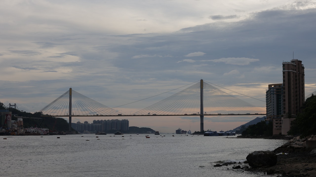
▼October 13, 2021 Typhoon Compass hit Hong Kong with wind and rain, and some citizens went out to watch the waves▼
+1
▼European Centre for Medium-Range Weather Forecasts ECMWF forecast▼
The Observatory issued the first typhoon signal No. 1 this year, and the typhoon was issued 2 hours later than Macau | The Observatory said that the weather on 7.1 will gradually turn bad and the wind will intensify. Return to Sunrise Street and remember to bring an umbrella to play the wind | Observatory: Considering the No. 1 wind tonight If the ball intensifies into a tropical storm, it will be named Siamba Dafeng|


/cloudfront-eu-central-1.images.arcpublishing.com/prisa/3I74UEXLYRBBRPGPSGWNN6WXH4.jpg)

