Even as we enter the 25th anniversary of Hong Kong's return to the motherland, the typhoon season begins.
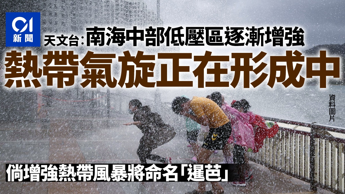
The Observatory's latest forecast pointed out that the low-pressure area in the central part of the South China Sea is gradually strengthening, and "a tropical cyclone is forming." If it intensifies into a tropical storm, it will be named "Siamba".
The Observatory predicts that there will be more frequent showers and squally thunderstorms in Hong Kong tomorrow, with strong winds of magnitude 7 occasionally blowing in the highlands on July 1, and the bad weather will continue at least until next Sunday.
▼October 13, 2021 Typhoon Compass hit Hong Kong with wind and rain, and some citizens went out to watch the waves▼
+1
It is expected to develop into a tropical cyclone and move to the west of Guangdong to Hainan Island.
Affected by the high-altitude anticyclone, Hong Kong continued to experience extremely hot weather today.
The Observatory expects that the low-pressure area in the central South China Sea will develop into a tropical cyclone, which will generally move towards the western part of Guangdong to Hainan Island in the next two or three days, and gradually intensify. The outer rainbands will also bring squally showers and thunderstorms to the area.
Looking back at the weather in Hong Kong, the Observatory predicts that there will still be sunshine for a short time tomorrow (30th) and there will be a few showers, but the weather will deteriorate significantly later, with more frequent showers and squally thunderstorms; There were squally showers and thunderstorms, and there were occasional strong winds of magnitude 7 on the highlands, only one level away from the magnitude 8 gale force of the No. 8 typhoon.
The Observatory also expects that after July 1st, there will still be strong winds, heavy showers and thunderstorms. The severe weather is expected to continue until next Sunday (July 3), the temperature in the urban area will drop below 30 degrees, and there will be showers and thunderstorms for many days next week. Avoid sunny weather.
▼European Centre for Medium-Range Weather Forecasts ECMWF forecast▼
▼US Global Forecast System GFS forecast▼
Central Meteorological Observatory: One or two typhoons will form from the South China Sea to the Northwest Pacific in the next ten days
Referring to the Mainland Central Meteorological Observatory, one or two typhoons will form from the South China Sea to the Northwest Pacific in the next ten days, which is expected to bring obvious wind and rain to southern China.
The Meteorological Observatory predicted that a tropical depression on the sea surface in the central South China Sea was formed this morning. At 8:00 a.m., its center was located on the sea about 435 kilometers southeast of Sansha City (Xisha Yongxing Island), Hainan Province, and the maximum wind force near the center was 7 ( 15 m/s), the lowest pressure in the center is 1000hPa, the center of the low pressure is expected to move northwestward at a speed of 10 to 15 kilometers per hour, and the intensity will gradually strengthen. It is likely to develop into a typhoon in the next 12 to 36 hours, and tend to Hainan Island The coastal area from east to west of Guangdong.
European and American computer forecasting systems disagree on intensity forecasts.
The European Centre for Medium-Range Weather Forecasts (ECMWF) predicted that after the tropical cyclone entered the South China Sea, it would only reach the level of a tropical storm with no further escalation, and approached the area of Zhanjiang on Saturday.
The U.S. Global Forecast System (GFS) predicts that after the tropical cyclone enters the South China Sea, it will first tend to Hainan Island as a strong tropical storm, and then turn northward and move towards Yangjiang City. It reached typhoon level and was closer to Hong Kong than forecast in Europe.
▼On June 27, the hot weather warning came into effect, and the temperature in some New Territories reached 34 degrees▼
+3
The director of the observatory pointed out that the timing of the rainfall outbreak is random. Try the new radar encryption scan, but there are still limitations. The observatory has set up a summer internship scholarship for college students with more than 10,000 yuan. have to predict