
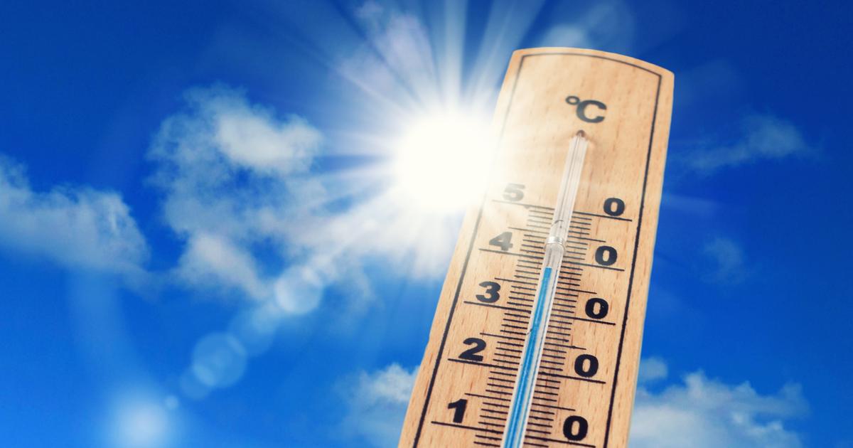
On Wednesday July 13, the temperatures remained high and were scorching for a large part of the territory.
The high temperatures progress in the northern half, in the Loire Valley, the Center and Ile-de-France, the 38°C are reached in the afternoon.
According to
La Chaîne Météo
*, this heat wave is explained by a huge heat dome, set up over the Maghreb and which goes up towards the west of Europe, passing through France.
Read alsoDoes the heat wave predict such a hot summer?
Until Thursday, 26 departments are placed at significant risk and 20 are on heat wave orange alert: Charente, Charente-Maritime, Corrèze, Dordogne, Gard, Haute-Garonne, Gers, Gironde, Landes, Lot, Lot-et-Garonne, Pyrenees -Atlantiques, Pyrénées-Orientales, Deux-Sèvres, Tarn, Tarn-et-Garonne, Vaucluse, Vendée, Vienne, Haute-Vienne.
The weather in your area
From
Brittany
to
Hauts-de-France
, via
Normandy,
the weather is good even if a cloudy veil can circulate, especially north of the Somme.
The minimum temperatures are between 13 and 21°C
In
Pays de la Loire
,
Nouvelle-Aquitaine
,
Centre-Val de Loire
and
Île-de-France
, the sun shines generously all day despite the presence of a few clouds.
Temperatures increase from the South-West towards the regions north of the Loire.
In the morning, some maritime entries are felt, on the Aquitaine coast, between Biscarosse and Hendaye.
The maximums evolve between 27 and 38°C.
From the
Grand-Est
to
Auvergne-Rhône-Alpes
, via
Bourgogne-Franche-Comté
, the sky is mainly clear and sunny all day.
There is a slight veil of clouds in the evening.
Maximum temperatures remain high, reaching 33 to 38°C in the afternoon.
In
PACA
,
Corsica
and
Occitania
, the thinnings are numerous and the high temperatures are felt.
The minimum temperatures are already high with 18 to 23°C and the maximums are between 28 and 39°C.
*The Weather Channel is a property of the Figaro group.